Estimated Value: $429,000 - $460,000
3
Beds
3
Baths
2,492
Sq Ft
$179/Sq Ft
Est. Value
About This Home
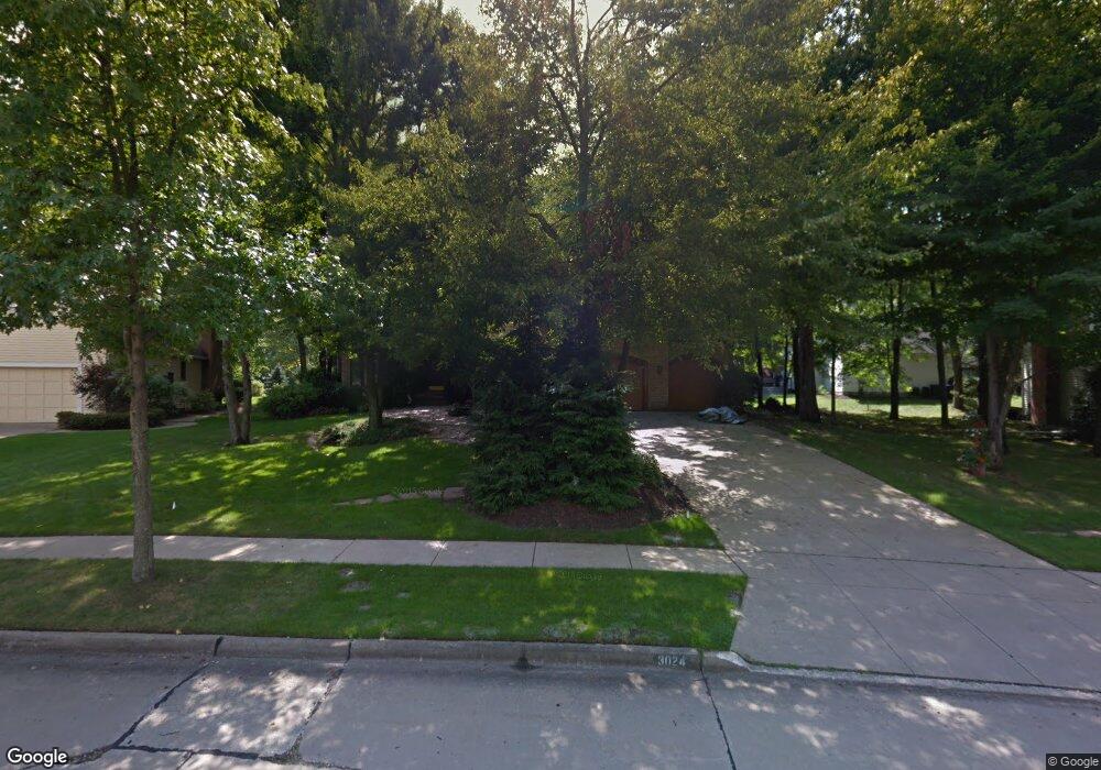
This home is located at 3024 Deercrest Path, Stow, OH 44224 and is currently estimated at $446,442, approximately $179 per square foot. 3024 Deercrest Path is a home located in Summit County with nearby schools including Stow-Munroe Falls High School, Holy Family Elementary School, and St Patrick Elementary School.
Ownership History
Date
Name
Owned For
Owner Type
Purchase Details
Closed on
Jan 26, 2023
Sold by
Uebelherr Family Trust
Bought by
Uebelherr Family Trust
Current Estimated Value
Purchase Details
Closed on
Aug 9, 2019
Sold by
Uebelherr Michael F and Chambers Heather
Bought by
The Uebelherr Family Trust
Purchase Details
Closed on
Apr 20, 2007
Sold by
Devore Kenneth E and Devore Janice L
Bought by
Uebelherr Michael F and Chambers Heather
Home Financials for this Owner
Home Financials are based on the most recent Mortgage that was taken out on this home.
Original Mortgage
$267,000
Interest Rate
6.2%
Mortgage Type
VA
Create a Home Valuation Report for This Property
The Home Valuation Report is an in-depth analysis detailing your home's value as well as a comparison with similar homes in the area
Home Values in the Area
Average Home Value in this Area
Purchase History
| Date | Buyer | Sale Price | Title Company |
|---|---|---|---|
| Uebelherr Family Trust | -- | -- | |
| The Uebelherr Family Trust | -- | None Available | |
| Uebelherr Michael F | $267,000 | Real Living Title Agency Ltd |
Source: Public Records
Mortgage History
| Date | Status | Borrower | Loan Amount |
|---|---|---|---|
| Previous Owner | Uebelherr Michael F | $267,000 |
Source: Public Records
Tax History
| Year | Tax Paid | Tax Assessment Tax Assessment Total Assessment is a certain percentage of the fair market value that is determined by local assessors to be the total taxable value of land and additions on the property. | Land | Improvement |
|---|---|---|---|---|
| 2024 | $7,274 | $129,542 | $22,050 | $107,492 |
| 2023 | $7,274 | $129,542 | $22,050 | $107,492 |
| 2022 | $6,438 | $101,206 | $17,227 | $83,979 |
| 2021 | $5,762 | $101,206 | $17,227 | $83,979 |
| 2020 | $5,662 | $101,210 | $17,230 | $83,980 |
| 2019 | $5,856 | $97,910 | $17,230 | $80,680 |
| 2018 | $5,760 | $97,910 | $17,230 | $80,680 |
| 2017 | $5,013 | $97,910 | $17,230 | $80,680 |
| 2016 | $5,160 | $82,700 | $17,230 | $65,470 |
| 2015 | $5,013 | $82,700 | $17,230 | $65,470 |
| 2014 | $5,017 | $82,700 | $17,230 | $65,470 |
| 2013 | $5,076 | $84,240 | $17,230 | $67,010 |
Source: Public Records
Map
Nearby Homes
- 1330 Chelton Dr
- 458 Irma St
- 3209 Pimlico Blvd
- 1245 Chelton Dr
- 2721 Santa Anita Dr
- 1285 Gale Dr
- 350 Silver Meadows Blvd
- 1138 Lower Dr
- 3313 Crown Pointe Dr
- 1189 Garth Dr
- 3767 Lake Run Blvd
- 0 Middlebury Rd
- 726 Hughey Dr
- 537 Park Ridge Dr
- 3905 Kent Rd
- 3958 Lake Run Blvd
- 884 Highridge Ln
- 374 N River Rd
- 895 Highridge Ln
- 2535 Sears Rd
- 3032 Deercrest Path
- 3496 Hunters Crossing
- 3488 Hunters Crossing
- 2979 Highpoint Trail
- 3040 Deercrest Path
- 3025 Deercrest Path
- 3500 Hunters Crossing
- 3470 Hunters Crossing
- 2971 Highpoint Trail
- 3037 Deercrest Path
- 2995 Highpoint Trail
- 3003 Highpoint Trail
- 3048 Deercrest Path
- 3011 Highpoint Trail
- 3501 Hunters Crossing
- 2963 Highpoint Trail
- 3485 Hunters Crossing
- 3479 Hunters Crossing
- 3493 Hunters Crossing
- 3464 Hunters Crossing
Your Personal Tour Guide
Ask me questions while you tour the home.