Estimated Value: $269,000 - $319,000
3
Beds
2
Baths
1,132
Sq Ft
$258/Sq Ft
Est. Value
About This Home
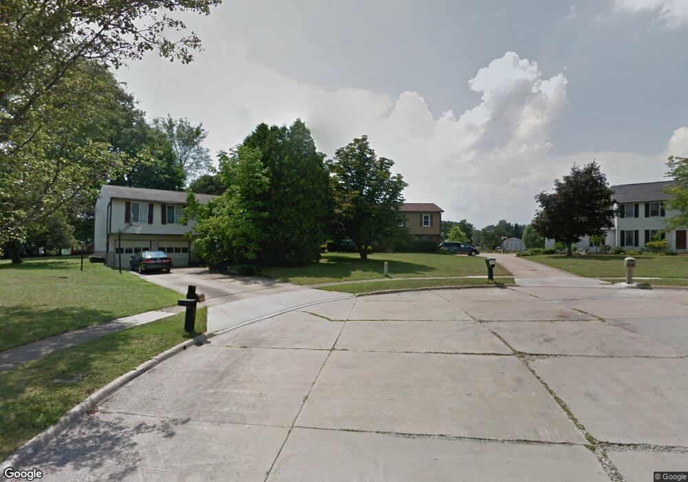
This home is located at 3024 Stockbridge Dr, Stow, OH 44224 and is currently estimated at $291,814, approximately $257 per square foot. 3024 Stockbridge Dr is a home located in Summit County with nearby schools including Stow-Munroe Falls High School, St Patrick Elementary School, and Holy Family Elementary School.
Ownership History
Date
Name
Owned For
Owner Type
Purchase Details
Closed on
Aug 27, 2001
Sold by
Dirocco Karen M
Bought by
Yoerger Richard W and Yoerger Katrina L
Current Estimated Value
Home Financials for this Owner
Home Financials are based on the most recent Mortgage that was taken out on this home.
Original Mortgage
$107,000
Interest Rate
7.11%
Mortgage Type
Purchase Money Mortgage
Purchase Details
Closed on
Aug 15, 2001
Sold by
Dirocco Joseph A
Bought by
Dirocco Karen M
Home Financials for this Owner
Home Financials are based on the most recent Mortgage that was taken out on this home.
Original Mortgage
$107,000
Interest Rate
7.11%
Mortgage Type
Purchase Money Mortgage
Create a Home Valuation Report for This Property
The Home Valuation Report is an in-depth analysis detailing your home's value as well as a comparison with similar homes in the area
Home Values in the Area
Average Home Value in this Area
Purchase History
| Date | Buyer | Sale Price | Title Company |
|---|---|---|---|
| Yoerger Richard W | $137,000 | Chicago Title Insurance Comp | |
| Dirocco Karen M | -- | -- |
Source: Public Records
Mortgage History
| Date | Status | Borrower | Loan Amount |
|---|---|---|---|
| Closed | Yoerger Richard W | $107,000 |
Source: Public Records
Tax History Compared to Growth
Tax History
| Year | Tax Paid | Tax Assessment Tax Assessment Total Assessment is a certain percentage of the fair market value that is determined by local assessors to be the total taxable value of land and additions on the property. | Land | Improvement |
|---|---|---|---|---|
| 2025 | $4,282 | $75,776 | $19,100 | $56,676 |
| 2024 | $4,282 | $75,776 | $19,100 | $56,676 |
| 2023 | $4,282 | $75,776 | $19,100 | $56,676 |
| 2022 | $3,750 | $58,527 | $14,693 | $43,834 |
| 2021 | $3,359 | $58,527 | $14,693 | $43,834 |
| 2020 | $3,301 | $58,520 | $14,690 | $43,830 |
| 2019 | $2,823 | $46,640 | $12,910 | $33,730 |
| 2018 | $2,727 | $46,640 | $12,910 | $33,730 |
| 2017 | $2,547 | $46,000 | $12,910 | $33,090 |
| 2016 | $2,621 | $41,510 | $12,910 | $28,600 |
| 2015 | $2,547 | $41,510 | $12,910 | $28,600 |
| 2014 | $2,549 | $41,510 | $12,910 | $28,600 |
| 2013 | $2,602 | $42,660 | $12,910 | $29,750 |
Source: Public Records
Map
Nearby Homes
- 2908 Wexford Blvd
- 2831 Saybrooke Blvd
- 2714 Wexford Blvd
- 3788 Woodbury Oval Unit 60
- 4444 Hickory Trail
- 4445 Kenneth Trail
- 4556 Fishcreek Rd
- 3860 Lake Run Blvd
- 76 Wanda Ct
- 4638 Dresher Trail
- 1302 Carol Dr
- 4078 Pardee Rd
- 4131 Burton Dr
- 4155 Burton Dr
- 0 Vira Rd
- 3801 Baird Rd
- 4910 Independence Cir Unit D
- 4916 Friar Rd Unit B
- 4675 Kent Rd
- 458 Sunrise Dr
- 3030 Stockbridge Dr
- 3018 Stockbridge Dr
- 2987 Saybrooke Blvd
- 2979 Saybrooke Blvd
- 3038 Stockbridge Dr
- 2997 Saybrooke Blvd
- 2971 Saybrooke Blvd
- 3023 Stockbridge Dr
- 3007 Saybrooke Blvd
- 2963 Saybrooke Blvd
- 3027 Stockbridge Dr
- 3046 Stockbridge Dr
- 3017 Saybrooke Blvd
- 3035 Stockbridge Dr
- 3027 Saybrooke Blvd
- 3045 Stockbridge Dr
- 2955 Saybrooke Blvd
- 3054 Stockbridge Dr
- 2982 Saybrooke Blvd
- 2990 Saybrooke Blvd