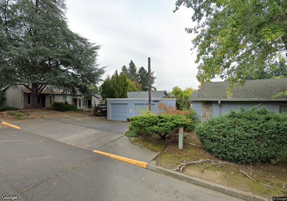
3024 SW Carson St Unit 15 Portland, OR 97219
Multnomah NeighborhoodEstimated Value: $231,502 - $327,000
2
Beds
1
Bath
800
Sq Ft
$352/Sq Ft
Est. Value
About This Home
This home is located at 3024 SW Carson St Unit 15, Portland, OR 97219 and is currently estimated at $281,876, approximately $352 per square foot. 3024 SW Carson St Unit 15 is a home located in Multnomah County with nearby schools including Maplewood Elementary School, Jackson Middle School, and Ida B. Wells-Barnett High School.
Ownership History
Date
Name
Owned For
Owner Type
Purchase Details
Closed on
Dec 1, 2022
Sold by
Montag Craig Richard
Bought by
Craig R Montag Trust
Current Estimated Value
Purchase Details
Closed on
Oct 18, 1999
Sold by
Mcbride Erin J
Bought by
Montag Craig R
Home Financials for this Owner
Home Financials are based on the most recent Mortgage that was taken out on this home.
Original Mortgage
$44,000
Interest Rate
7.86%
Purchase Details
Closed on
Dec 11, 1996
Sold by
Castile Don
Bought by
Mcbride Erin J
Home Financials for this Owner
Home Financials are based on the most recent Mortgage that was taken out on this home.
Original Mortgage
$84,611
Interest Rate
7.76%
Mortgage Type
FHA
Create a Home Valuation Report for This Property
The Home Valuation Report is an in-depth analysis detailing your home's value as well as a comparison with similar homes in the area
Home Values in the Area
Average Home Value in this Area
Purchase History
| Date | Buyer | Sale Price | Title Company |
|---|---|---|---|
| Craig R Montag Trust | -- | -- | |
| Montag Craig R | $89,000 | Pacific Nw Title | |
| Mcbride Erin J | $85,000 | Stewart Title |
Source: Public Records
Mortgage History
| Date | Status | Borrower | Loan Amount |
|---|---|---|---|
| Previous Owner | Montag Craig R | $44,000 | |
| Previous Owner | Mcbride Erin J | $84,611 |
Source: Public Records
Tax History Compared to Growth
Tax History
| Year | Tax Paid | Tax Assessment Tax Assessment Total Assessment is a certain percentage of the fair market value that is determined by local assessors to be the total taxable value of land and additions on the property. | Land | Improvement |
|---|---|---|---|---|
| 2025 | $2,985 | $111,100 | -- | $111,100 |
| 2024 | $2,883 | $107,870 | -- | $107,870 |
| 2023 | $2,883 | $104,730 | $0 | $104,730 |
| 2022 | $2,713 | $101,680 | $0 | $0 |
| 2021 | $2,652 | $98,720 | $0 | $0 |
| 2020 | $2,446 | $95,850 | $0 | $0 |
| 2019 | $2,356 | $93,060 | $0 | $0 |
| 2018 | $2,287 | $90,350 | $0 | $0 |
| 2017 | $2,192 | $87,720 | $0 | $0 |
| 2016 | $2,006 | $85,170 | $0 | $0 |
| 2015 | $1,852 | $82,690 | $0 | $0 |
| 2014 | $1,511 | $80,290 | $0 | $0 |
Source: Public Records
Map
Nearby Homes
- 3139 SW Freeman St
- 8102 SW 31st Ave Unit 8122
- 2924 SW Multnomah Blvd
- 8023 SW 31st Ave
- 2644 SW Hume Ct
- 7872 SW 31st Ave Unit 11
- 2531 SW Spring Garden St
- 7868 SW 30th Ave
- 2616 SW Hume Ct Unit 28
- 8329 SW 24th Ave Unit 3
- 2612 SW Moss St
- 7831 SW 34th Ave Unit 7837
- 9224 SW 26th Ave
- 8040 SW Capitol Hill Rd
- 8046 SW Capitol Hill Rd
- 2320 SW Canby Ct
- 8342 SW 41st Ave
- 2249 SW Taylors Ferry Rd
- 3925 SW Multnomah Blvd Unit 201
- 3613 SW Logan St
- 3026 SW Carson St Unit 14
- 3022 SW Carson St Unit 16
- 3020 SW Carson St Unit 12
- 3030 SW Carson St Unit 18
- 3028 SW Carson St Unit 17
- 3034 SW Carson St Unit 20
- 3032 SW Carson St
- 8413 SW 30th Ave Unit 5
- 8415 SW 30th Ave Unit 4
- 3018 SW Carson St Unit 13
- 8411 SW 30th Ave Unit 6
- 8405 SW 30th Ave Unit 9
- 8409 SW 30th Ave
- 8407 SW 30th Ave Unit 8
- 8403 SW 30th Ave Unit 10
- 8401 SW 30th Ave
- 3104 SW Carson St Unit 21
- 8417 SW 30th Ave Unit 3
- 3102 SW Carson St Unit 22
- 8419 SW 30th Ave