3025 Mix Path Stevensville, MI 49127
Glen Lord NeighborhoodEstimated Value: $1,046,000 - $1,506,546
4
Beds
4
Baths
2,681
Sq Ft
$483/Sq Ft
Est. Value
About This Home
This home is located at 3025 Mix Path, Stevensville, MI 49127 and is currently estimated at $1,294,849, approximately $482 per square foot. 3025 Mix Path is a home located in Berrien County with nearby schools including Lakeshore High School and St. Paul's Lutheran School.
Ownership History
Date
Name
Owned For
Owner Type
Purchase Details
Closed on
Nov 5, 2021
Sold by
J Gabriel Family Llc
Bought by
Zackfia Sharon and Sharon Zackfia Revocable Trust
Current Estimated Value
Home Financials for this Owner
Home Financials are based on the most recent Mortgage that was taken out on this home.
Original Mortgage
$1,119,200
Outstanding Balance
$1,023,977
Interest Rate
2.88%
Mortgage Type
New Conventional
Estimated Equity
$270,872
Purchase Details
Closed on
Oct 28, 2020
Sold by
Small Carol and Small Frank W
Bought by
J Gabriel Family Fund Llc
Create a Home Valuation Report for This Property
The Home Valuation Report is an in-depth analysis detailing your home's value as well as a comparison with similar homes in the area
Home Values in the Area
Average Home Value in this Area
Purchase History
| Date | Buyer | Sale Price | Title Company |
|---|---|---|---|
| Zackfia Sharon | -- | None Available | |
| J Gabriel Family Fund Llc | -- | Accommodation | |
| J Gabriel Family Fund Llc | -- | First American Title |
Source: Public Records
Mortgage History
| Date | Status | Borrower | Loan Amount |
|---|---|---|---|
| Open | Zackfia Sharon | $1,119,200 |
Source: Public Records
Tax History Compared to Growth
Tax History
| Year | Tax Paid | Tax Assessment Tax Assessment Total Assessment is a certain percentage of the fair market value that is determined by local assessors to be the total taxable value of land and additions on the property. | Land | Improvement |
|---|---|---|---|---|
| 2025 | $18,249 | $491,100 | $0 | $0 |
| 2024 | $15,287 | $497,500 | $0 | $0 |
| 2023 | $16,998 | $392,000 | $0 | $0 |
| 2022 | $14,978 | $330,400 | $0 | $0 |
| 2021 | $8,332 | $183,800 | $67,900 | $115,900 |
| 2020 | $2,701 | $192,700 | $0 | $0 |
| 2019 | $2,505 | $198,600 | $73,600 | $125,000 |
| 2018 | $2,433 | $198,600 | $0 | $0 |
| 2017 | $2,519 | $208,600 | $0 | $0 |
| 2016 | $2,451 | $202,500 | $0 | $0 |
| 2015 | $2,439 | $200,700 | $0 | $0 |
| 2014 | $1,897 | $181,700 | $0 | $0 |
Source: Public Records
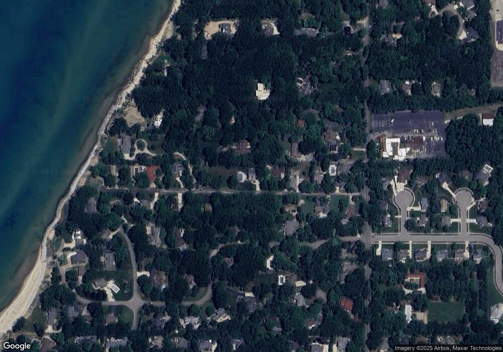
Map
Nearby Homes
- 4150 Ridge Rd Unit 21 and 22
- 4150 Ridge Rd Unit 22
- 4150 Ridge Rd Unit 21
- 2710 Sanctuary Dr
- 2949 Pagoda Path
- 4913 Ridge Rd
- 2662 Paulmar Ave
- 3257 W Marquette Woods Rd
- 3381 W Marquette Woods Rd
- 000 Short St
- 2243 Jeffrey St
- 2223 Monica Rd
- 2566 Holiday House Rd
- 2535 Holiday House Rd
- 000 Red Arrow Hwy
- 3923 Reinhardt Dr
- 3935 Reinhardt Dr Unit 510
- 3933 Reinhardt Dr Unit 510
- 3917 Reinhardt Dr Unit 510
- 4736 S Cedar Trail