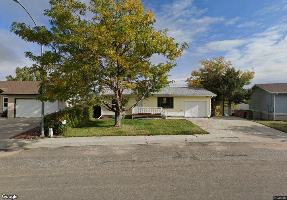
3025 Pheasant Dr Casper, WY 82604
West Casper NeighborhoodEstimated Value: $281,000 - $302,722
3
Beds
2
Baths
952
Sq Ft
$310/Sq Ft
Est. Value
About This Home
This home is located at 3025 Pheasant Dr, Casper, WY 82604 and is currently estimated at $294,907, approximately $309 per square foot. 3025 Pheasant Dr is a home located in Natrona County with nearby schools including Mount Hope Lutheran School and St. Anthony Tri-Parish Catholic School.
Ownership History
Date
Name
Owned For
Owner Type
Purchase Details
Closed on
Sep 24, 2021
Sold by
Wood Dean and Wood Dawn
Bought by
Key Kyle and Key Kiley
Current Estimated Value
Home Financials for this Owner
Home Financials are based on the most recent Mortgage that was taken out on this home.
Original Mortgage
$251,658
Outstanding Balance
$229,489
Interest Rate
2.8%
Mortgage Type
VA
Estimated Equity
$65,418
Purchase Details
Closed on
Aug 25, 2014
Sold by
Frank Frank and Fuhrer Gloria Jean
Bought by
Wood Dean and Wood Dawn
Create a Home Valuation Report for This Property
The Home Valuation Report is an in-depth analysis detailing your home's value as well as a comparison with similar homes in the area
Home Values in the Area
Average Home Value in this Area
Purchase History
| Date | Buyer | Sale Price | Title Company |
|---|---|---|---|
| Key Kyle | -- | Rocky Mountain Title | |
| Wood Dean | -- | -- |
Source: Public Records
Mortgage History
| Date | Status | Borrower | Loan Amount |
|---|---|---|---|
| Open | Key Kyle | $251,658 |
Source: Public Records
Tax History Compared to Growth
Tax History
| Year | Tax Paid | Tax Assessment Tax Assessment Total Assessment is a certain percentage of the fair market value that is determined by local assessors to be the total taxable value of land and additions on the property. | Land | Improvement |
|---|---|---|---|---|
| 2025 | $1,263 | $17,594 | $4,160 | $13,434 |
| 2024 | $1,514 | $24,087 | $6,863 | $17,224 |
| 2023 | $1,649 | $22,629 | $5,927 | $16,702 |
| 2022 | $1,555 | $21,337 | $5,245 | $16,092 |
| 2021 | $1,238 | $16,985 | $4,806 | $12,179 |
| 2020 | $1,059 | $17,939 | $9,749 | $8,190 |
| 2019 | $1,023 | $14,031 | $5,118 | $8,913 |
| 2018 | $1,029 | $14,123 | $5,118 | $9,005 |
| 2017 | $1,105 | $15,153 | $5,118 | $10,035 |
| 2015 | $1,076 | $14,760 | $5,118 | $9,642 |
| 2014 | $847 | $14,614 | $5,118 | $9,496 |
Source: Public Records
Map
Nearby Homes
- 3250 Patriot Dr
- 3891 Brookview Dr
- 3802 Aspen Place
- 3535 Aspen Ln
- 3410 Eagle Dr
- 2020 Kingsboro Rd
- 2120 Valcaro Rd
- 4140 Arroyo Dr
- 0 Wyoming 220
- 2153 W 42nd St
- 4411 Puma Dr
- 1801 W Odell Ave
- 1900 W 39th St
- 2030 W 43rd St
- 1701 Brentwood Dr
- 1921 W 39th St
- 1641 Brentwood Dr
- 4071 S Coffman Ave
- 4081 S Coffman Ave
- 4011 S Coffman Ave
- 3025 Pheasant Dr Unit Meadowlark
- 3025 Pheasant Dr Unit Meadowlark Dr
- 3027 Pheasant Dr
- 3023 Pheasant Dr
- 3021 Pheasant Dr
- 3597 Meadowlark Dr
- 3020 Pheasant Dr
- 3022 Pheasant Dr
- 3019 Pheasant Dr
- 3593 Meadowlark Dr
- 3018 Pheasant Dr
- 2932 Pheasant Dr
- 2932 Pheasant Dr Unit Meadowlark
- 3024 Pheasant Dr
- 3599 Meadowlark Dr
- 3016 Pheasant Dr
- 2934 Pheasant Dr
- 3026 Pheasant Dr
- 3017 Pheasant Dr
- 3596 Meadowlark Dr