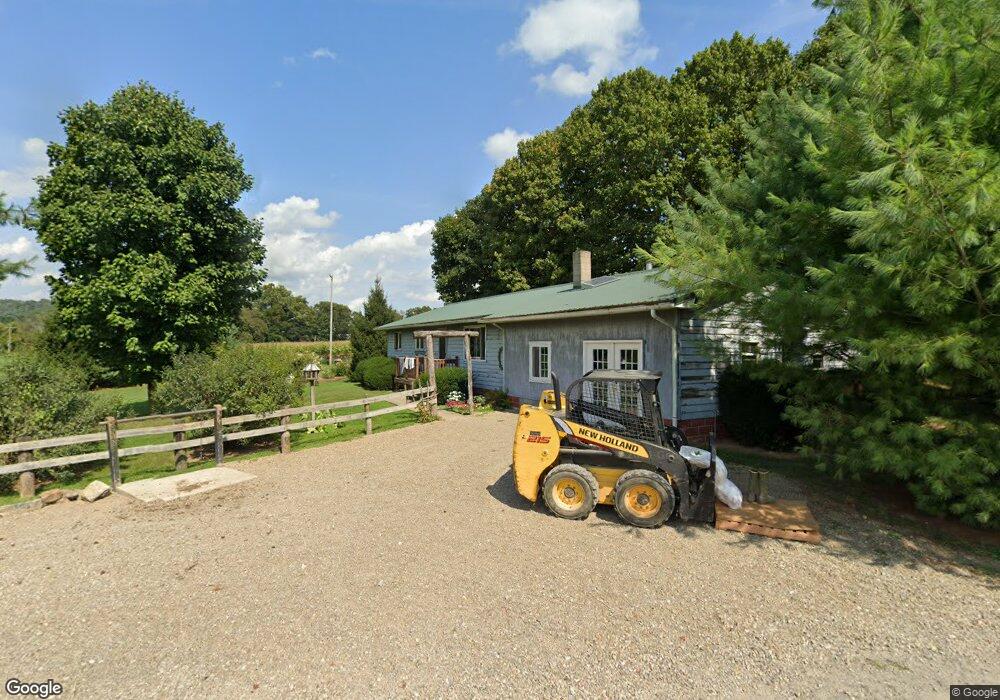
30250 Township Road 212 Fresno, OH 43824
Estimated Value: $276,033 - $450,000
3
Beds
1
Bath
1,864
Sq Ft
$176/Sq Ft
Est. Value
About This Home
This home is located at 30250 Township Road 212, Fresno, OH 43824 and is currently estimated at $328,508, approximately $176 per square foot. 30250 Township Road 212 is a home located in Coshocton County with nearby schools including River View High School and NEW BEDFORD SCHOOL.
Ownership History
Date
Name
Owned For
Owner Type
Purchase Details
Closed on
Mar 24, 2010
Sold by
Yoder Ben A and Yoder Betty
Bought by
Yoder Henry A and Yoder Rebecca J
Current Estimated Value
Purchase Details
Closed on
Dec 15, 2004
Sold by
Yoder Andrew J Jlrs
Bought by
Yoder Ben A
Purchase Details
Closed on
Jan 18, 2002
Sold by
Yoder John E D
Bought by
Yoder Andrew J Jlrs
Purchase Details
Closed on
Aug 8, 2000
Sold by
Mullett Glendon L
Bought by
Yoder John E D
Purchase Details
Closed on
Nov 27, 1998
Sold by
Bullock Rita K
Bought by
Bullock Rita K
Purchase Details
Closed on
Jun 3, 1998
Sold by
Bullock Micheal V
Bought by
Bullock Rita K
Create a Home Valuation Report for This Property
The Home Valuation Report is an in-depth analysis detailing your home's value as well as a comparison with similar homes in the area
Home Values in the Area
Average Home Value in this Area
Purchase History
| Date | Buyer | Sale Price | Title Company |
|---|---|---|---|
| Yoder Henry A | -- | None Available | |
| Yoder Ben A | $94,000 | -- | |
| Yoder Andrew J Jlrs | $82,500 | -- | |
| Yoder John E D | $71,000 | -- | |
| Yoder John E D | $71,000 | -- | |
| Bullock Rita K | $62,000 | -- | |
| Bullock Rita K | -- | -- |
Source: Public Records
Tax History Compared to Growth
Tax History
| Year | Tax Paid | Tax Assessment Tax Assessment Total Assessment is a certain percentage of the fair market value that is determined by local assessors to be the total taxable value of land and additions on the property. | Land | Improvement |
|---|---|---|---|---|
| 2024 | $2,285 | $65,270 | $19,680 | $45,590 |
| 2023 | $2,285 | $53,015 | $13,167 | $39,848 |
| 2022 | $1,992 | $53,015 | $13,167 | $39,848 |
| 2021 | $1,992 | $53,015 | $13,167 | $39,848 |
| 2020 | $1,970 | $52,196 | $13,195 | $39,001 |
| 2019 | $1,568 | $40,747 | $13,195 | $27,552 |
| 2018 | $1,440 | $40,747 | $13,195 | $27,552 |
| 2017 | $1,361 | $35,840 | $11,249 | $24,591 |
| 2016 | $1,289 | $35,840 | $11,249 | $24,591 |
| 2015 | $644 | $35,840 | $11,249 | $24,591 |
| 2014 | $1,127 | $31,298 | $8,124 | $23,174 |
Source: Public Records
Map
Nearby Homes
- 30945 County Road 126
- 32469 Township Road 219
- 28427 Ohio 83
- 0 Township Road 219
- 0 Township Road 219
- 31509 Township Road 227
- 0 County Road 1
- 26938 County Road 1
- 26929 County Road 1
- 23900 Airport Rd
- 1743 W Buckhorn Dr
- 1910 Susten Dr
- 31705 Township Road 236
- 118 Bern Dr
- 0 Tr-88 Unit 5165275
- 30410 Ohio 60
- 7616 Zurich Dr
- 3190 Buckhorn Dr
- 24272 Township Road 1169
- 0 State Rd 93 Unit 23494832