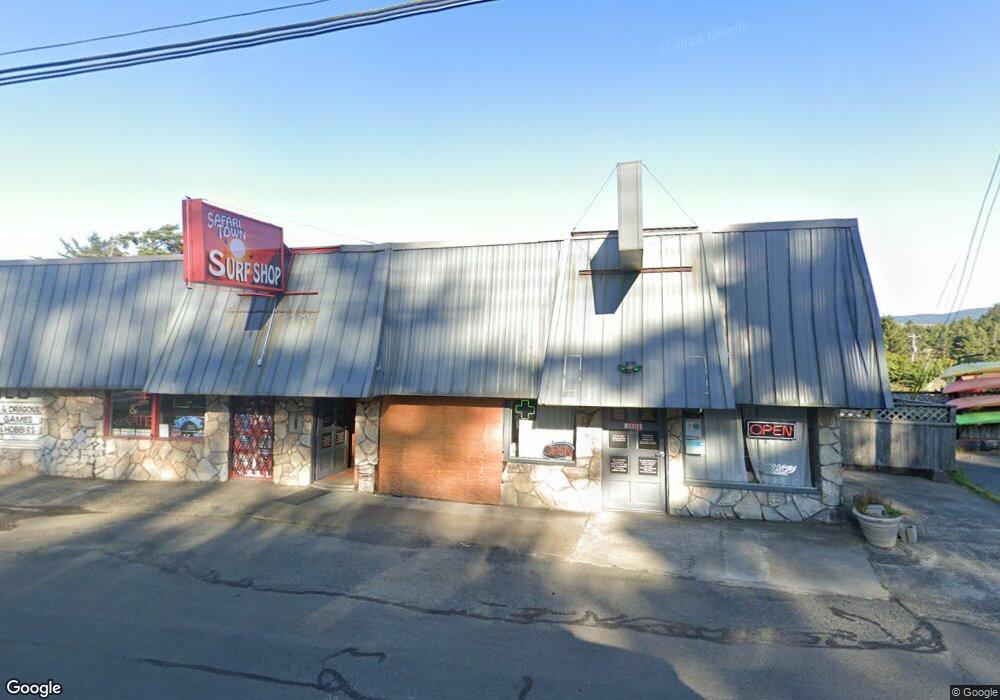
3026 NE Highway 101 Lincoln City, OR 97367
Estimated Value: $772,000
--
Bed
--
Bath
567
Sq Ft
$1,362/Sq Ft
Est. Value
About This Home
This home is located at 3026 NE Highway 101, Lincoln City, OR 97367 and is currently estimated at $772,000, approximately $1,361 per square foot. 3026 NE Highway 101 is a home located in Lincoln County with nearby schools including Oceanlake Elementary School, Taft Elementary School, and Taft High School.
Ownership History
Date
Name
Owned For
Owner Type
Purchase Details
Closed on
Aug 12, 2022
Sold by
Wilson Jack H and Revoca Judith
Bought by
Spehar Family Revocable Living Trust
Current Estimated Value
Home Financials for this Owner
Home Financials are based on the most recent Mortgage that was taken out on this home.
Original Mortgage
$345,000
Outstanding Balance
$330,329
Interest Rate
5.7%
Mortgage Type
New Conventional
Estimated Equity
$441,671
Create a Home Valuation Report for This Property
The Home Valuation Report is an in-depth analysis detailing your home's value as well as a comparison with similar homes in the area
Home Values in the Area
Average Home Value in this Area
Purchase History
| Date | Buyer | Sale Price | Title Company |
|---|---|---|---|
| Spehar Family Revocable Living Trust | $545,000 | Western Title |
Source: Public Records
Mortgage History
| Date | Status | Borrower | Loan Amount |
|---|---|---|---|
| Open | Spehar Family Revocable Living Trust | $345,000 |
Source: Public Records
Tax History Compared to Growth
Tax History
| Year | Tax Paid | Tax Assessment Tax Assessment Total Assessment is a certain percentage of the fair market value that is determined by local assessors to be the total taxable value of land and additions on the property. | Land | Improvement |
|---|---|---|---|---|
| 2024 | $6,307 | $367,290 | -- | -- |
| 2023 | $6,133 | $356,600 | $0 | $0 |
| 2022 | $5,962 | $346,220 | $0 | $0 |
| 2021 | $5,680 | $336,140 | $0 | $0 |
| 2020 | $5,102 | $304,150 | $0 | $0 |
| 2019 | $4,893 | $293,140 | $0 | $0 |
| 2018 | $4,925 | $293,140 | $0 | $0 |
| 2017 | $4,854 | $293,140 | $0 | $0 |
| 2016 | $4,951 | $309,560 | $0 | $0 |
| 2015 | $4,591 | $285,200 | $0 | $0 |
| 2014 | $4,608 | $285,200 | $0 | $0 |
Source: Public Records
Map
Nearby Homes
- 3235 NW Quay Dr
- 2930 NE Hwy 101
- 2064 NW 33rd St
- 3244 NW Oar Dr
- 3034 NW Oar Dr
- 2820 NE Hwy 101
- 3039 NW Oar Dr
- 1845 NW 30th St
- 2480 NE 29th Dr
- Parcel 1 NE Surf Ave
- 2631 NE Quay Ave
- 2865 NW Neptune Ave
- 3432 NW Port Ct
- 2509 NE 27th Dr
- 3201 NW Mast Ave
- 3507 NW Port Ave
- 3522 NE Quay Ave
- 2709 NW Mast Ave
- 2943 NE 61st Place
- 1830 NW 35th Place
- 3026 NE Highway 101
- 3026 NE Highway 101 Unit 1
- 3055 N Highway 101
- 3040 NW Quay Dr
- 3106 NW Quay Dr
- 3116 NW Quay Dr
- 3128 &3126 NE Hwy 101
- 3037 NW Quay Dr
- 3035 NW Quay Dr
- 3100 NW Quay Dr
- 3000 Blk NW Quay Dr
- 3200 Blk NW Quay Dr
- Lot 9700 NW Quay Dr
- 3200 Block NW Quay Dr
- 3500 NW Quay Dr
- 0 NW Quay Dr
- 3001 NW U S 101
- 3125 NW Quay Dr
- 3104 NW Port Dr