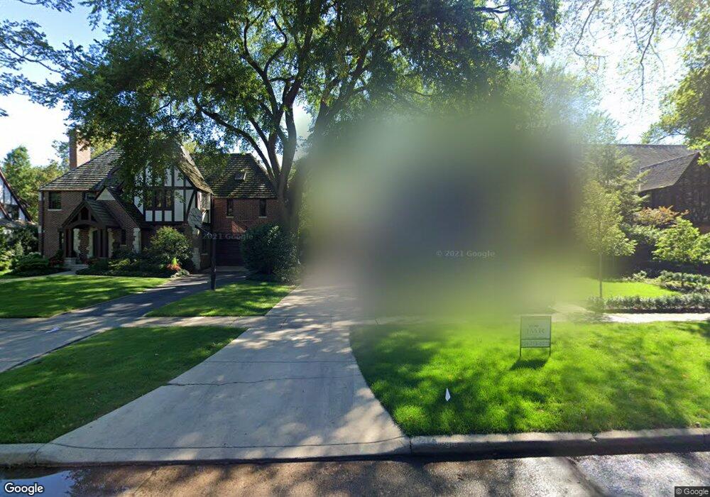
3026 Normandy Place Evanston, IL 60201
North Evanston NeighborhoodEstimated Value: $1,389,000 - $1,794,000
4
Beds
4
Baths
3,020
Sq Ft
$520/Sq Ft
Est. Value
About This Home
This home is located at 3026 Normandy Place, Evanston, IL 60201 and is currently estimated at $1,571,055, approximately $520 per square foot. 3026 Normandy Place is a home located in Cook County with nearby schools including Lincolnwood Elementary School, Haven Middle School, and Evanston Township High School.
Ownership History
Date
Name
Owned For
Owner Type
Purchase Details
Closed on
Feb 20, 2002
Sold by
Weisman Berg Steven E and Weisman Berg Amy
Bought by
Braasch Robert J and Braasch Kathleen F
Current Estimated Value
Home Financials for this Owner
Home Financials are based on the most recent Mortgage that was taken out on this home.
Original Mortgage
$510,000
Outstanding Balance
$193,068
Interest Rate
5.87%
Estimated Equity
$1,377,987
Purchase Details
Closed on
Aug 31, 1994
Sold by
Frett Eugene J and Petersen Frett Donna
Bought by
Berg Steven E and Weisman Berg Amy
Home Financials for this Owner
Home Financials are based on the most recent Mortgage that was taken out on this home.
Original Mortgage
$332,000
Interest Rate
3.65%
Create a Home Valuation Report for This Property
The Home Valuation Report is an in-depth analysis detailing your home's value as well as a comparison with similar homes in the area
Home Values in the Area
Average Home Value in this Area
Purchase History
| Date | Buyer | Sale Price | Title Company |
|---|---|---|---|
| Braasch Robert J | $910,000 | -- | |
| Berg Steven E | $415,000 | -- |
Source: Public Records
Mortgage History
| Date | Status | Borrower | Loan Amount |
|---|---|---|---|
| Open | Braasch Robert J | $510,000 | |
| Previous Owner | Berg Steven E | $332,000 |
Source: Public Records
Tax History Compared to Growth
Tax History
| Year | Tax Paid | Tax Assessment Tax Assessment Total Assessment is a certain percentage of the fair market value that is determined by local assessors to be the total taxable value of land and additions on the property. | Land | Improvement |
|---|---|---|---|---|
| 2024 | $27,764 | $118,000 | $27,384 | $90,616 |
| 2023 | $26,616 | $118,000 | $27,384 | $90,616 |
| 2022 | $26,616 | $118,000 | $27,384 | $90,616 |
| 2021 | $29,869 | $115,883 | $16,544 | $99,339 |
| 2020 | $29,530 | $115,883 | $16,544 | $99,339 |
| 2019 | $29,066 | $127,485 | $16,544 | $110,941 |
| 2018 | $22,072 | $83,996 | $13,692 | $70,304 |
| 2017 | $21,511 | $83,996 | $13,692 | $70,304 |
| 2016 | $20,625 | $83,996 | $13,692 | $70,304 |
| 2015 | $20,571 | $79,345 | $11,410 | $67,935 |
| 2014 | $20,390 | $79,345 | $11,410 | $67,935 |
| 2013 | $19,906 | $79,345 | $11,410 | $67,935 |
Source: Public Records
Map
Nearby Homes
- 2221 Lincolnwood Dr
- 2113 Forestview Rd
- 2951 Colfax St
- 2422 Grant St
- 2633 Crawford Ave
- 2518 Ridgeway Ave
- 2022 Mcdaniel Ave
- 9833 Keystone Ave
- 9628 Keystone Ave
- 2440 Simpson St
- 3131 Central St
- 2501 Crawford Ave
- 3500 Church St Unit 204
- 2730 Central St Unit 3A
- 2726 Central St Unit 3D
- 3233 Central St
- 2720 Central St Unit 4C
- 2555 Gross Point Rd Unit 112
- 2101 Pioneer Rd
- 9101 Sleeping Bear Rd
- 3030 Normandy Place
- 3020 Normandy Place
- 3038 Normandy Place
- 3016 Normandy Place
- 3027 Payne St
- 3023 Payne St
- 3033 Payne St
- 3042 Normandy Place
- 3015 Payne St
- 3039 Payne St
- 3027 Normandy Place
- 3033 Normandy Place
- 3025 Normandy Place
- 2202 Central Park Ave
- 3004 Normandy Place
- 3039 Normandy Place
- 2150 Central Park Ave
- 3015 Normandy Place
- 2146 Central Park Ave
- 3045 Normandy Place