Estimated Value: $277,005 - $359,000
Studio
2
Baths
2,908
Sq Ft
$113/Sq Ft
Est. Value
About This Home
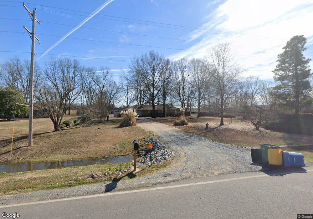
This home is located at 3027 Colonel Maynard Rd, Scott, AR 72142 and is currently estimated at $329,001, approximately $113 per square foot. 3027 Colonel Maynard Rd is a home located in Pulaski County with nearby schools including Harris Elementary School, Mills University Studies High School, and Scott Charter School.
Ownership History
Date
Name
Owned For
Owner Type
Purchase Details
Closed on
Aug 29, 2019
Sold by
Simpkins Cecelia and Simpkins Joseph
Bought by
Simpkins Cecelia
Current Estimated Value
Purchase Details
Closed on
Oct 9, 2002
Sold by
Stone Cecelia J and Simpkins Cecelia
Bought by
Simpkins Joseph and Simpkins Cecelia
Home Financials for this Owner
Home Financials are based on the most recent Mortgage that was taken out on this home.
Original Mortgage
$72,000
Interest Rate
6.01%
Create a Home Valuation Report for This Property
The Home Valuation Report is an in-depth analysis detailing your home's value as well as a comparison with similar homes in the area
Home Values in the Area
Average Home Value in this Area
Purchase History
| Date | Buyer | Sale Price | Title Company |
|---|---|---|---|
| Simpkins Cecelia | -- | None Available | |
| Simpkins Joseph | -- | Transcontinental Title Compa |
Source: Public Records
Mortgage History
| Date | Status | Borrower | Loan Amount |
|---|---|---|---|
| Closed | Simpkins Joseph | $72,000 |
Source: Public Records
Tax History
| Year | Tax Paid | Tax Assessment Tax Assessment Total Assessment is a certain percentage of the fair market value that is determined by local assessors to be the total taxable value of land and additions on the property. | Land | Improvement |
|---|---|---|---|---|
| 2025 | $1,281 | $45,509 | $3,200 | $42,309 |
| 2024 | $1,281 | $45,509 | $3,200 | $42,309 |
| 2023 | $1,281 | $45,509 | $3,200 | $42,309 |
| 2022 | $1,281 | $45,509 | $3,200 | $42,309 |
| 2021 | $1,281 | $21,640 | $1,800 | $19,840 |
| 2020 | $926 | $21,640 | $1,800 | $19,840 |
| 2019 | $906 | $21,640 | $1,800 | $19,840 |
| 2018 | $931 | $21,640 | $1,800 | $19,840 |
| 2017 | $931 | $21,640 | $1,800 | $19,840 |
| 2016 | $1,029 | $28,680 | $1,100 | $27,580 |
| 2015 | $1,379 | $23,286 | $1,100 | $22,186 |
| 2014 | $1,379 | $23,286 | $1,100 | $22,186 |
Source: Public Records
Map
Nearby Homes
- 109 Ac Colonel Maynard Rd
- 303 Ac Colonel Maynard Rd
- 55 Ac Hwy 165 W
- 294 Ac Hwy 165 W
- 130 Ac Hwy 165 W
- 236 Ac Hwy 165
- 53 Planters Row
- 000 Planters Row
- 00 Planters Row
- Old Highway 30
- XX Colonel Maynard Rd
- 00 Hwy 165 & Hwy 391
- 7918 Blue Heron Pkwy
- 12115 Amaranth Dr
- 13009 Bell Flower Dr
- 1023 Anemone Dr
- 13101 Bell Flower Dr
- 1105 Bittercress Dr
- 13423 Smarty Jones Dr
- 815 Judi Dr
- 3015 Colonel Maynard Rd
- 3115 Colonel Maynard Rd
- 3001 Colonel Maynard Rd
- 3211 Colonel Maynard Rd
- 0 Colonel Maynard Rd
- 3301 Colonel Maynard Rd
- 3308 Colonel Maynard Rd
- 3400 Colonel Maynard Rd
- 77 Ac Hwy 165 W
- 14116 Willow Beach Rd
- 14108 Willow Beach Rd
- 14100 Willow Beach Rd
- 14032 Willow Beach Rd
- 14024 Willow Beach Rd
- 153 Ac Hwy 165 W
- 14014 Willow Beach Rd
- 14008 Willow Beach Rd
- 14000 Willow Beach Rd
- 13614 Willow Beach Rd
- 14311 Old Highway 30
Your Personal Tour Guide
Ask me questions while you tour the home.