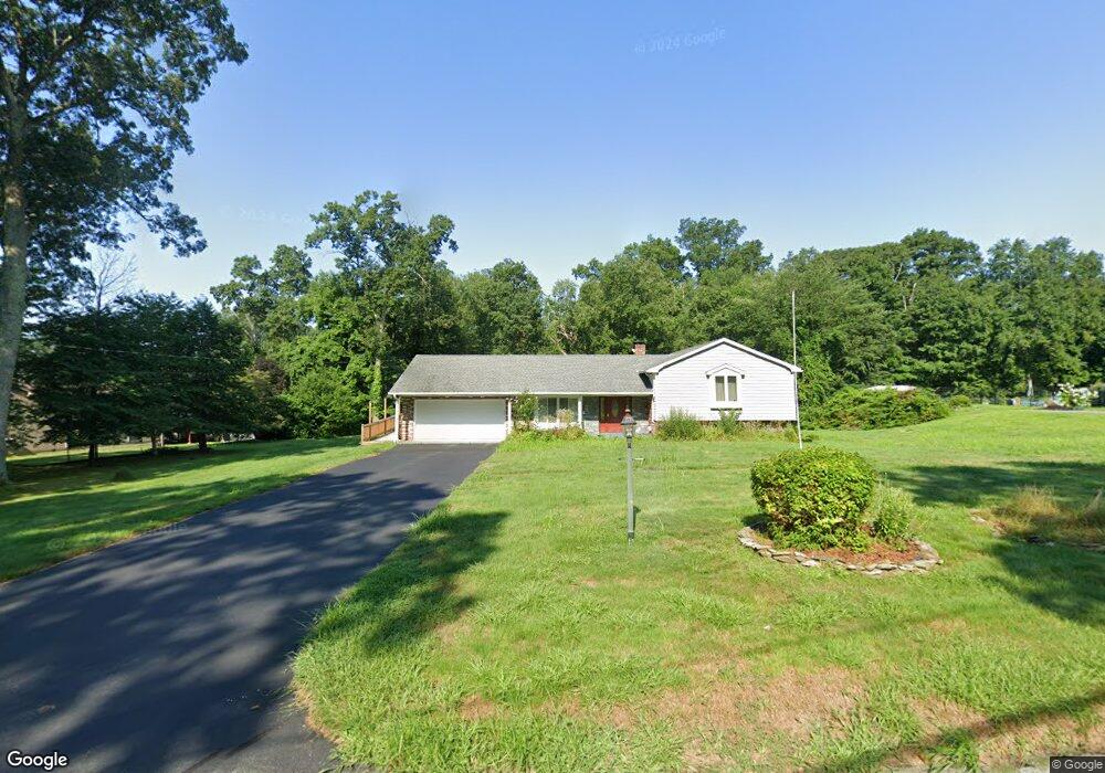
3029 David Ave Danielson, CT 06239
Estimated Value: $390,000 - $427,000
About This Home
This home is located at 3029 David Ave, Danielson, CT 06239 and is currently estimated at $409,917, approximately $270 per square foot. 3029 David Ave is a home located in Windham County with nearby schools including Killingly Central School, Killingly Memorial School, and Killingly Intermediate School.
Ownership History
We collect this data history from publicly available records. To have your information removed, we recommend requesting removal directly through your county’s website.
Purchase Details
Home Financials for this Owner
Home Financials are based on the most recent Mortgage that was taken out on this home.Home Values in the Area
Average Home Value in this Area
Purchase History
We collect this data history from publicly available records. To have your information removed, we recommend requesting removal directly through your county’s website.
| Date | Buyer | Sale Price | Title Company |
|---|---|---|---|
| $146,500 | -- | ||
| $146,500 | -- |
Mortgage History
We collect this data history from publicly available records. To have your information removed, we recommend requesting removal directly through your county’s website.
| Date | Status | Borrower | Loan Amount |
|---|---|---|---|
| Open | $144,600 | ||
| Closed | $146,500 |
Tax History
We collect this data history from publicly available records. To have your information removed, we recommend requesting removal directly through your county’s website.
| Year | Tax Paid | Tax Assessment Tax Assessment Total Assessment is a certain percentage of the fair market value that is determined by local assessors to be the total taxable value of land and additions on the property. | Land | Improvement |
|---|---|---|---|---|
| 2025 | $5,370 | $231,080 | $42,700 | $188,380 |
| 2024 | $5,109 | $231,080 | $42,700 | $188,380 |
| 2023 | $4,863 | $167,300 | $35,140 | $132,160 |
| 2022 | $4,572 | $167,300 | $35,140 | $132,160 |
| 2021 | $4,557 | $167,300 | $35,140 | $132,160 |
| 2020 | $4,474 | $167,300 | $35,140 | $132,160 |
| 2019 | $4,544 | $167,300 | $35,140 | $132,160 |
| 2017 | $3,977 | $138,530 | $28,140 | $110,390 |
| 2016 | $3,875 | $134,960 | $28,140 | $106,820 |
| 2015 | $3,875 | $134,960 | $28,140 | $106,820 |
| 2014 | $3,767 | $134,960 | $28,140 | $106,820 |
Map
- 156 Cranberry Bog Rd
- 175 Cranberry Bog Rd
- 64 Westcott Rd
- 44 Polly Ave
- 99 Halls Hill Rd
- 199 Mashentuck Rd
- 175 Mashentuck Rd
- 560 S Frontage Rd
- 100 Hubbard Hill Rd
- 0 Cook Hill Rd Unit 24135933
- 612 Cook Hill Rd
- 113 Hawkins St
- 193 E Franklin St
- 16 Shumway Ave
- 41 Margaret Henry Rd
- 25 Klocek Rd
- 94 & 100 Hubbard Hil Klocek Rd
- 24 Joan St
- 63 Reynolds St
- Lot 2 Klosek Rd
- 3021 David Ave
- 3035 David Ave
- 30 Cranberry Bog Rd
- 3020 David Ave
- 3024 David Ave
- 42 Cranberry Bog Rd
- 3014 David Ave
- 3030 David Ave
- 3043 David Ave
- 50 Cranberry Bog Rd
- 3036 David Ave
- 18 Cranberry Bog Rd
- 29 Cranberry Bog Rd
- 25 Cranberry Bog Rd
- 56 Cranberry Bog Rd
- 3044 David Ave
- 3049 David Ave
- 45 Cranberry Bog Rd
- 3050 David Ave
- 59 Cranberry Bog Rd
Ask me questions while you tour the home.