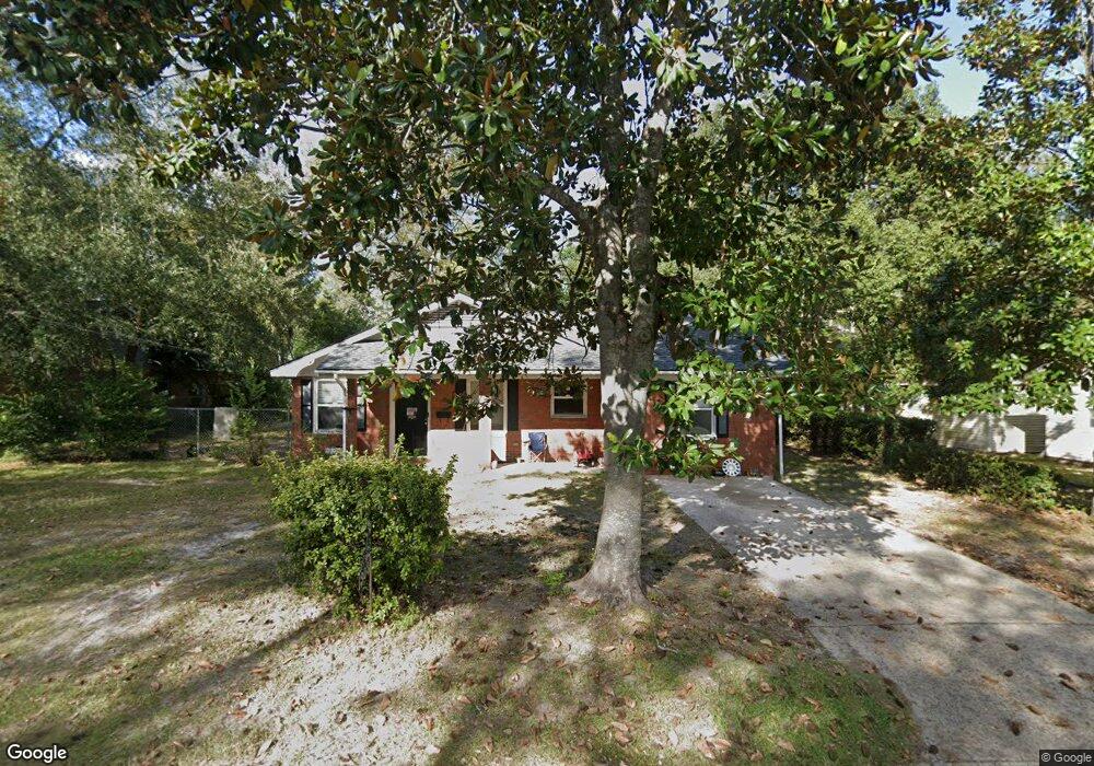
303 Baltimore Ave Waycross, GA 31501
Estimated Value: $142,000 - $179,000
3
Beds
2
Baths
1,646
Sq Ft
$99/Sq Ft
Est. Value
About This Home
This home is located at 303 Baltimore Ave, Waycross, GA 31501 and is currently estimated at $163,722, approximately $99 per square foot. 303 Baltimore Ave is a home located in Ware County with nearby schools including Williams Heights Elementary School, Waycross Middle School, and Ware County High School.
Ownership History
Date
Name
Owned For
Owner Type
Purchase Details
Closed on
Jun 10, 2022
Sold by
Rocket Mtg Llc
Bought by
Daou Nassib Simon and Daou Cecilia
Current Estimated Value
Purchase Details
Closed on
Apr 16, 1998
Sold by
Weaver John R and Weaver Patr
Bought by
Marr Patricia P
Purchase Details
Closed on
Apr 1, 1992
Bought by
Weaver John R and Weaver Patr
Create a Home Valuation Report for This Property
The Home Valuation Report is an in-depth analysis detailing your home's value as well as a comparison with similar homes in the area
Home Values in the Area
Average Home Value in this Area
Purchase History
| Date | Buyer | Sale Price | Title Company |
|---|---|---|---|
| Daou Nassib Simon | $95,955 | -- | |
| Marr Patricia P | $50,700 | -- | |
| Weaver John R | $43,500 | -- |
Source: Public Records
Tax History Compared to Growth
Tax History
| Year | Tax Paid | Tax Assessment Tax Assessment Total Assessment is a certain percentage of the fair market value that is determined by local assessors to be the total taxable value of land and additions on the property. | Land | Improvement |
|---|---|---|---|---|
| 2024 | $1,713 | $50,706 | $3,520 | $47,186 |
| 2023 | $1,749 | $45,461 | $2,471 | $42,990 |
| 2022 | $1,349 | $45,461 | $2,471 | $42,990 |
| 2021 | $1,209 | $37,325 | $2,471 | $34,854 |
| 2020 | $1,168 | $35,583 | $2,471 | $33,112 |
| 2019 | $1,108 | $32,969 | $2,471 | $30,498 |
| 2018 | $1,087 | $31,879 | $2,471 | $29,408 |
| 2017 | $1,055 | $31,879 | $2,471 | $29,408 |
| 2016 | $1,055 | $31,879 | $2,471 | $29,408 |
| 2015 | $1,060 | $31,879 | $2,471 | $29,408 |
| 2014 | $1,058 | $31,879 | $2,471 | $29,408 |
| 2013 | -- | $38,604 | $2,470 | $36,133 |
Source: Public Records
Map
Nearby Homes
- 807 College St
- 511 Richmond Ave
- 1101 Cherokee Dr
- 506 Magnolia Dr
- 707 Euclid Ave
- 808 Satilla Blvd
- 1701 Satilla Blvd
- 0 Saint Marys Dr Unit (TRACT 2 0.25 ACRES)
- 1405 Grove Ave
- .22 Alice St
- 713 Magnolia Dr
- 706 Cherokee Cir
- 415 Dewey St
- 301 Riverside Dr
- 502 Dewey St
- 903 Atlantic Ave
- 907 Euclid Ave
- 1504 Habersham Dr
- 310 Butler St
- 1001 Coral Rd
- 301 Baltimore Ave
- 1201 Scruggs St
- 1211 Scruggs St
- 302 Pennsylvania Ave
- 300 Pennsylvania Ave
- 1009 Scruggs St
- 304 Baltimore Ave
- 1004 College St
- 217 Baltimore Ave
- 1005 Scruggs St
- 208 Pennsylvania Ave
- 0 Pennsylvania Ave
- 1003 College St
- 1003 Scruggs St
- 1000 College St
- 211 Baltimore Ave
- 206 Pennsylvania Ave
- 1010 Scruggs St
- 1010 Scruggs St Unit ST
- 204 Pennsylvania Ave