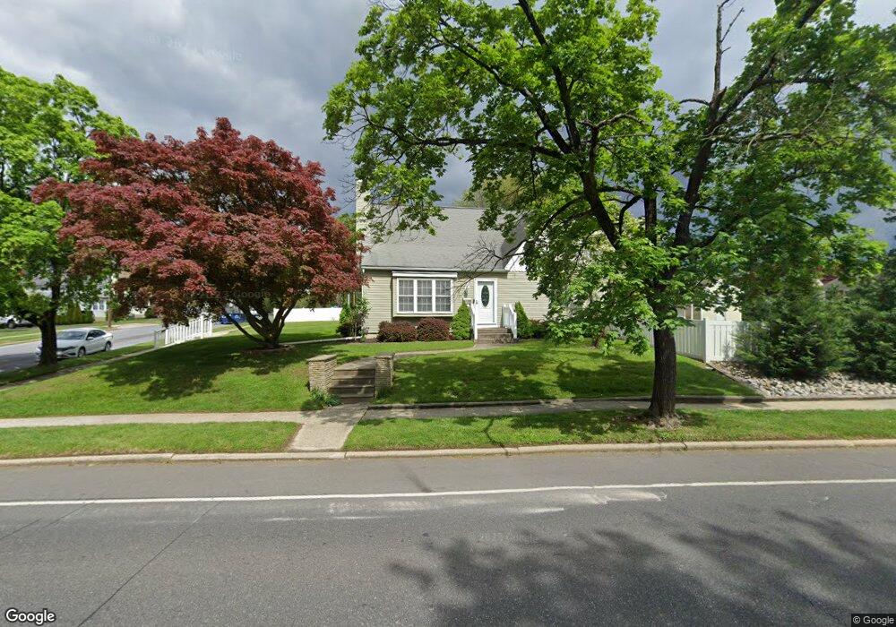
303 Main St Mantua, NJ 08051
Mantua Township NeighborhoodEstimated Value: $349,000 - $429,000
--
Bed
--
Bath
1,868
Sq Ft
$203/Sq Ft
Est. Value
About This Home
This home is located at 303 Main St, Mantua, NJ 08051 and is currently estimated at $379,366, approximately $203 per square foot. 303 Main St is a home located in Gloucester County with nearby schools including Centre City School, Clearview Regional Middle School, and Clearview Regional High School.
Ownership History
Date
Name
Owned For
Owner Type
Purchase Details
Closed on
Jul 30, 2012
Sold by
Tillman Michael and Tillman Lisa A
Bought by
Tillman Michael
Current Estimated Value
Home Financials for this Owner
Home Financials are based on the most recent Mortgage that was taken out on this home.
Original Mortgage
$204,000
Outstanding Balance
$141,255
Interest Rate
3.66%
Mortgage Type
New Conventional
Estimated Equity
$238,111
Purchase Details
Closed on
Dec 30, 1998
Sold by
Schultz James and Schultz Janice
Bought by
Tillman Michael and Tillman Lisa A
Home Financials for this Owner
Home Financials are based on the most recent Mortgage that was taken out on this home.
Original Mortgage
$113,906
Interest Rate
6.84%
Mortgage Type
FHA
Create a Home Valuation Report for This Property
The Home Valuation Report is an in-depth analysis detailing your home's value as well as a comparison with similar homes in the area
Home Values in the Area
Average Home Value in this Area
Purchase History
| Date | Buyer | Sale Price | Title Company |
|---|---|---|---|
| Tillman Michael | -- | Peoples Choice Title And Set | |
| Tillman Michael | $114,000 | -- |
Source: Public Records
Mortgage History
| Date | Status | Borrower | Loan Amount |
|---|---|---|---|
| Open | Tillman Michael | $204,000 | |
| Closed | Tillman Michael | $113,906 |
Source: Public Records
Tax History Compared to Growth
Tax History
| Year | Tax Paid | Tax Assessment Tax Assessment Total Assessment is a certain percentage of the fair market value that is determined by local assessors to be the total taxable value of land and additions on the property. | Land | Improvement |
|---|---|---|---|---|
| 2025 | $7,565 | $293,800 | $56,000 | $237,800 |
| 2024 | $7,486 | $293,800 | $56,000 | $237,800 |
| 2023 | $7,486 | $293,800 | $56,000 | $237,800 |
| 2022 | $6,394 | $182,800 | $40,000 | $142,800 |
| 2021 | $6,442 | $182,800 | $40,000 | $142,800 |
| 2020 | $6,391 | $182,800 | $40,000 | $142,800 |
| 2019 | $6,283 | $182,800 | $40,000 | $142,800 |
| 2018 | $6,193 | $182,800 | $40,000 | $142,800 |
| 2017 | $6,100 | $182,800 | $40,000 | $142,800 |
| 2016 | $6,031 | $182,800 | $40,000 | $142,800 |
| 2015 | $5,883 | $182,800 | $40,000 | $142,800 |
| 2014 | $5,685 | $182,800 | $40,000 | $142,800 |
Source: Public Records
Map
Nearby Homes
- 8 Barry Dr
- 325 Bridgeton Pike
- 1215 Tristram Cir
- 119 Monroe Ave
- 1134 Tristram Cir Unit 4
- 47 New Jersey Ave
- 1145 Tristram Cir
- 1147 Tristram Cir Unit 1147
- 748 Dartmouth Dr
- 1433 Tristram Cir
- 505 W Mantua Ave
- 111 Cove Rd
- 125 Ivy Ln
- 735 Glenside Dr
- 261 Tony Cir
- 204 W Landing Rd
- 75 Hickory Ave
- 485 Harrison Ave
- 26 Woodstream Ct
- 41 Woodbrook Dr Unit C041