303 N Cannon Blvd Kannapolis, NC 28083
Estimated Value: $600,000 - $666,000
4
Beds
5
Baths
3,578
Sq Ft
$176/Sq Ft
Est. Value
About This Home
This home is located at 303 N Cannon Blvd, Kannapolis, NC 28083 and is currently estimated at $628,237, approximately $175 per square foot. 303 N Cannon Blvd is a home located in Cabarrus County with nearby schools including North Kannapolis Elementary School, Kannapolis Middle, and A.L. Brown High School.
Ownership History
Date
Name
Owned For
Owner Type
Purchase Details
Closed on
Jul 10, 1998
Sold by
Marlin Dave B and Marlin Rebecca M
Bought by
Forrest Lee N and Forrest Ashley M
Current Estimated Value
Home Financials for this Owner
Home Financials are based on the most recent Mortgage that was taken out on this home.
Original Mortgage
$300,000
Outstanding Balance
$61,607
Interest Rate
7.04%
Mortgage Type
Purchase Money Mortgage
Estimated Equity
$566,630
Purchase Details
Closed on
Feb 1, 1988
Purchase Details
Closed on
May 1, 1983
Create a Home Valuation Report for This Property
The Home Valuation Report is an in-depth analysis detailing your home's value as well as a comparison with similar homes in the area
Home Values in the Area
Average Home Value in this Area
Purchase History
| Date | Buyer | Sale Price | Title Company |
|---|---|---|---|
| Forrest Lee N | $318,000 | -- | |
| -- | $185,000 | -- | |
| -- | $148,000 | -- |
Source: Public Records
Mortgage History
| Date | Status | Borrower | Loan Amount |
|---|---|---|---|
| Open | Forrest Lee N | $300,000 |
Source: Public Records
Tax History Compared to Growth
Tax History
| Year | Tax Paid | Tax Assessment Tax Assessment Total Assessment is a certain percentage of the fair market value that is determined by local assessors to be the total taxable value of land and additions on the property. | Land | Improvement |
|---|---|---|---|---|
| 2025 | $5,822 | $512,730 | $90,780 | $421,950 |
| 2024 | $5,822 | $512,730 | $90,780 | $421,950 |
| 2023 | $5,304 | $387,130 | $90,780 | $296,350 |
| 2022 | $5,304 | $387,130 | $90,780 | $296,350 |
| 2021 | $5,304 | $387,130 | $90,780 | $296,350 |
| 2020 | $5,304 | $387,130 | $90,780 | $296,350 |
| 2019 | $4,722 | $344,680 | $87,290 | $257,390 |
| 2018 | $4,653 | $344,680 | $87,290 | $257,390 |
| 2017 | $4,584 | $344,680 | $87,290 | $257,390 |
| 2016 | $4,584 | $352,040 | $87,290 | $264,750 |
| 2015 | $4,436 | $352,040 | $87,290 | $264,750 |
| 2014 | $4,436 | $352,040 | $87,290 | $264,750 |
Source: Public Records
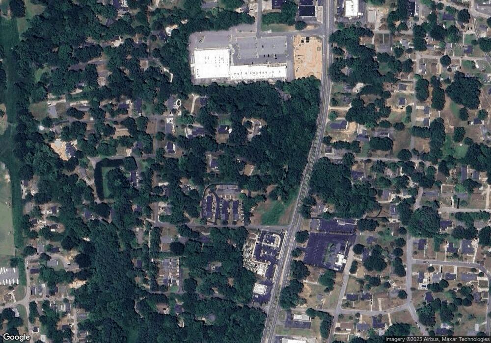
Map
Nearby Homes
- 302 Melinda Ave
- 502 Helen St
- 1102 Lane St
- 604 Pearl Ave
- 303 E 4th St
- 406 Ruth Ave
- 904 Venus St
- 704 S Harding Ave
- 519 N Rose Ave
- 704 Gem St Unit 17
- 311 Jean Ave
- 818 Skyland St
- 209 James St
- 203 Allen St
- 1406 Shepard St
- 100 N Ridge Ave
- 1218 Martin Luther King Junior Ave
- 132 Kennedy Ave
- 1202 Woodlawn St
- 1526 Shepard St
- 639 Hunter Oak Dr Unit B10
- 633 Hunter Oak Dr
- 627 Hunter Oak Dr Unit B8
- 627 Hunter Oak Dr Unit 627
- 621 Hunter Oak Dr
- 621 Hunter Oak Dr Unit 7
- 615 Hunter Oak Dr
- 330 Idlewood Dr
- 315 Silverleaf Cir
- 315 Silverleaf Cir Unit E24
- 322 Wisteria Ln
- 311 Silverleaf Cir
- 311 Silverleaf Cir Unit E23
- 311 Silverleaf Cir Unit none
- 318 Wisteria Ln Unit 26
- 307 Silverleaf Cir
- 301 N Cannon Blvd
- 314 Wisteria Ln Unit 27
- 317 Wisteria Ln
- 317 Wisteria Ln Unit 5