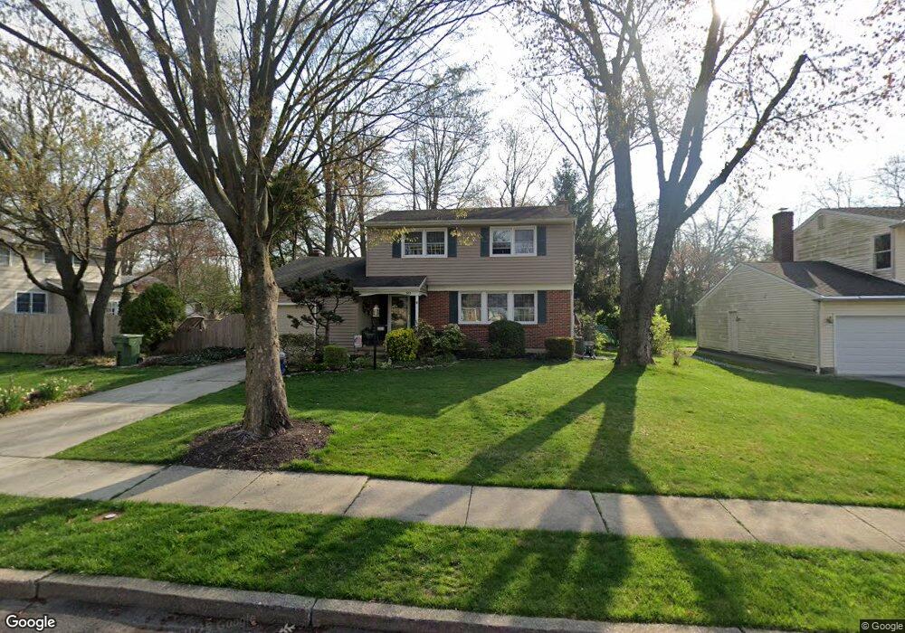
303 Provincetown Rd Cherry Hill, NJ 08034
Estimated Value: $402,240 - $501,000
--
Bed
--
Bath
1,825
Sq Ft
$256/Sq Ft
Est. Value
About This Home
This home is located at 303 Provincetown Rd, Cherry Hill, NJ 08034 and is currently estimated at $468,060, approximately $256 per square foot. 303 Provincetown Rd is a home located in Camden County with nearby schools including James H. Johnson School, John A Carusi Middle School, and Cherry Hill High-West High School.
Ownership History
Date
Name
Owned For
Owner Type
Purchase Details
Closed on
Mar 31, 1994
Sold by
Arace Michael
Bought by
Mcshane Maureen
Current Estimated Value
Home Financials for this Owner
Home Financials are based on the most recent Mortgage that was taken out on this home.
Original Mortgage
$113,000
Interest Rate
8.29%
Purchase Details
Closed on
Jan 6, 1988
Bought by
Ryan William + Barbara
Create a Home Valuation Report for This Property
The Home Valuation Report is an in-depth analysis detailing your home's value as well as a comparison with similar homes in the area
Home Values in the Area
Average Home Value in this Area
Purchase History
| Date | Buyer | Sale Price | Title Company |
|---|---|---|---|
| Mcshane Maureen | $130,000 | -- | |
| Ryan William + Barbara | $142,500 | -- |
Source: Public Records
Mortgage History
| Date | Status | Borrower | Loan Amount |
|---|---|---|---|
| Previous Owner | Mcshane Maureen | $113,000 |
Source: Public Records
Tax History Compared to Growth
Tax History
| Year | Tax Paid | Tax Assessment Tax Assessment Total Assessment is a certain percentage of the fair market value that is determined by local assessors to be the total taxable value of land and additions on the property. | Land | Improvement |
|---|---|---|---|---|
| 2025 | $9,458 | $212,100 | $68,600 | $143,500 |
| 2024 | $8,912 | $212,100 | $68,600 | $143,500 |
| 2023 | $8,912 | $212,100 | $68,600 | $143,500 |
| 2022 | $8,666 | $212,100 | $68,600 | $143,500 |
| 2021 | $8,694 | $212,100 | $68,600 | $143,500 |
| 2020 | $8,588 | $212,100 | $68,600 | $143,500 |
| 2019 | $8,584 | $212,100 | $68,600 | $143,500 |
| 2018 | $8,367 | $207,300 | $68,600 | $138,700 |
| 2017 | $8,253 | $207,300 | $68,600 | $138,700 |
| 2016 | $8,143 | $207,300 | $68,600 | $138,700 |
| 2015 | $7,764 | $207,300 | $68,600 | $138,700 |
| 2014 | $7,675 | $207,300 | $68,600 | $138,700 |
Source: Public Records
Map
Nearby Homes
- 307 Provincetown Cir
- 300 Portsmouth Rd
- 318 Provincetown Rd
- 175 Mansfield Blvd N
- 16 Moore Ave
- 195 Pearlcroft Rd
- 1010 Salem Rd
- 31 Moore Ave
- 140 Uxbridge Unit C0140
- 515 Kresson Rd
- 116 Split Rail Dr
- 204 Tavistock
- 203 Horse Shoe Ct
- 9 Maplebrook Ct
- 290 Tavistock
- 505 Fern Ave
- 205 Park Ln
- 1324 Charleston Rd
- 316 N Woodstock Dr
- 412 E Summit Ave
- 305 Provincetown Rd
- 301 Provincetown Cir
- 304 Provincetown Rd
- 300 Provincetown Cir
- 201 Provincetown Rd
- 306 Provincetown Rd
- 206 Provincetown Rd
- 204 Provincetown Rd
- 208 Provincetown Rd
- 303 Portsmouth Rd
- 202 Provincetown Rd
- 301 Portsmouth Rd
- 305 Portsmouth Rd
- 210 Provincetown Rd
- 200 Provincetown Rd
- 307 Portsmouth Rd
- 309 Portsmouth Rd
- 212 Provincetown Rd
- 214 Provincetown Rd
- 313 Portsmouth Rd