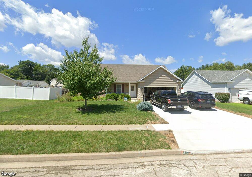
303 Stonewood Dr East Peoria, IL 61611
Estimated Value: $235,000 - $252,551
3
Beds
2
Baths
1,292
Sq Ft
$190/Sq Ft
Est. Value
About This Home
This home is located at 303 Stonewood Dr, East Peoria, IL 61611 and is currently estimated at $244,888, approximately $189 per square foot. 303 Stonewood Dr is a home located in Tazewell County with nearby schools including Lasalle Elementary School, Parkview Jr High School, and East Peoria High School.
Ownership History
Date
Name
Owned For
Owner Type
Purchase Details
Closed on
Jan 19, 2006
Sold by
Cole Valley Llc
Bought by
Stuart Robert J and Stuart Monica S
Current Estimated Value
Home Financials for this Owner
Home Financials are based on the most recent Mortgage that was taken out on this home.
Original Mortgage
$131,782
Outstanding Balance
$74,727
Interest Rate
6.42%
Mortgage Type
Fannie Mae Freddie Mac
Estimated Equity
$170,161
Create a Home Valuation Report for This Property
The Home Valuation Report is an in-depth analysis detailing your home's value as well as a comparison with similar homes in the area
Home Values in the Area
Average Home Value in this Area
Purchase History
| Date | Buyer | Sale Price | Title Company |
|---|---|---|---|
| Stuart Robert J | $165,000 | None Available |
Source: Public Records
Mortgage History
| Date | Status | Borrower | Loan Amount |
|---|---|---|---|
| Open | Stuart Robert J | $131,782 |
Source: Public Records
Tax History Compared to Growth
Tax History
| Year | Tax Paid | Tax Assessment Tax Assessment Total Assessment is a certain percentage of the fair market value that is determined by local assessors to be the total taxable value of land and additions on the property. | Land | Improvement |
|---|---|---|---|---|
| 2024 | $5,419 | $70,430 | $11,670 | $58,760 |
| 2023 | $5,419 | $64,660 | $10,710 | $53,950 |
| 2022 | $5,155 | $59,810 | $9,910 | $49,900 |
| 2021 | $4,892 | $57,510 | $9,530 | $47,980 |
| 2020 | $4,729 | $57,510 | $9,530 | $47,980 |
| 2019 | $4,689 | $57,510 | $9,530 | $47,980 |
| 2018 | $4,569 | $57,510 | $9,530 | $47,980 |
| 2017 | $4,522 | $57,510 | $9,530 | $47,980 |
| 2016 | $4,747 | $60,930 | $14,130 | $46,800 |
| 2015 | $4,536 | $0 | $0 | $0 |
| 2013 | $4,568 | $59,030 | $13,690 | $45,340 |
Source: Public Records
Map
Nearby Homes
- 101 Woodbrook Ct
- 2217 Springfield Rd
- 1604 Springfield Rd
- 106 Field Grove Rd
- 1406 Springfield Rd
- 129 Glenridge Dr
- 108 Kohl St
- 515 Briarbrook Dr
- 409 Briarbrook Dr
- 404 Rainbow Dr
- 301 Briarbrook Dr
- Lot 1 Briarbrook Dr
- Lot 2 Briarbrook Dr
- 015 Harris Rd
- Lot 4 Harris Rd
- 557 Groveland St
- 1004 Springfield Rd
- 104 Lewis Ct
- 120 Gerber Ct
- 529 Carola St
- 305 Stonewood Dr
- 104 Woodbrook Ct
- 332 Stonewood Dr
- 307 Stonewood Dr
- 108 Woodbrook Ct
- 100 Parkedge Ct
- 101 Parkedge Ct
- 112 Woodbrook Ct
- 300 Stonewood Dr
- 309 Stonewood Dr
- 103 Country Ridge Ct
- 103 Woodbrook Ct
- 102 Parkedge Ct
- 105 Woodbrook Ct
- 107 Woodbrook Ct
- 111 Woodbrook Ct
- 311 Stonewood Dr
- 306 Stonewood Dr