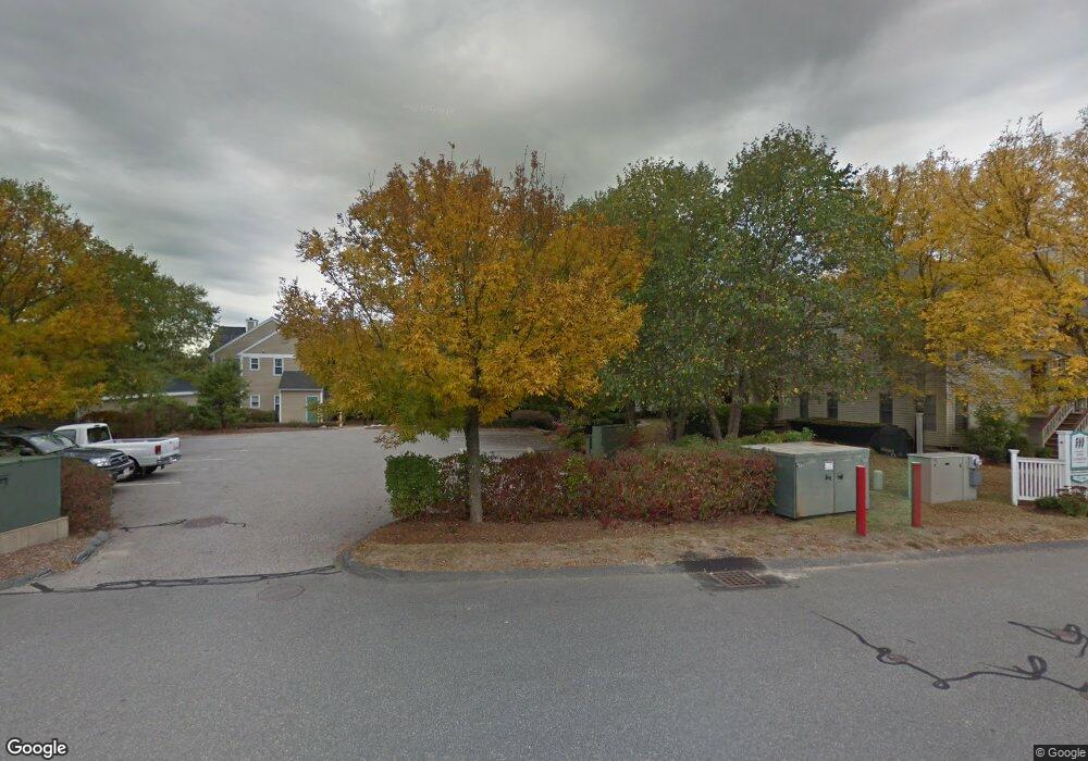
303 Tilden Commons Ln Braintree, MA 02184
South Braintree NeighborhoodEstimated Value: $518,000 - $627,000
2
Beds
2
Baths
1,454
Sq Ft
$393/Sq Ft
Est. Value
About This Home
This home is located at 303 Tilden Commons Ln, Braintree, MA 02184 and is currently estimated at $571,376, approximately $392 per square foot. 303 Tilden Commons Ln is a home located in Norfolk County with nearby schools including First Baptist Christian School, Boston Higashi School, and Thayer Academy.
Ownership History
Date
Name
Owned For
Owner Type
Purchase Details
Closed on
Apr 27, 1999
Sold by
Cook Daniel S and Cook Kathleen M
Bought by
Obrien George E
Current Estimated Value
Home Financials for this Owner
Home Financials are based on the most recent Mortgage that was taken out on this home.
Original Mortgage
$100,000
Interest Rate
7.02%
Mortgage Type
Purchase Money Mortgage
Purchase Details
Closed on
Oct 3, 1995
Sold by
Devon Wood Lp
Bought by
Cook Daniel S and Cook Kathleen M
Home Financials for this Owner
Home Financials are based on the most recent Mortgage that was taken out on this home.
Original Mortgage
$135,000
Interest Rate
7.89%
Mortgage Type
Purchase Money Mortgage
Create a Home Valuation Report for This Property
The Home Valuation Report is an in-depth analysis detailing your home's value as well as a comparison with similar homes in the area
Home Values in the Area
Average Home Value in this Area
Purchase History
| Date | Buyer | Sale Price | Title Company |
|---|---|---|---|
| Obrien George E | $210,000 | -- | |
| Cook Daniel S | $150,565 | -- |
Source: Public Records
Mortgage History
| Date | Status | Borrower | Loan Amount |
|---|---|---|---|
| Open | Cook Daniel S | $104,000 | |
| Closed | Cook Daniel S | $100,000 | |
| Previous Owner | Cook Daniel S | $135,000 |
Source: Public Records
Tax History Compared to Growth
Tax History
| Year | Tax Paid | Tax Assessment Tax Assessment Total Assessment is a certain percentage of the fair market value that is determined by local assessors to be the total taxable value of land and additions on the property. | Land | Improvement |
|---|---|---|---|---|
| 2025 | $5,464 | $547,500 | $0 | $547,500 |
| 2024 | $4,864 | $513,100 | $0 | $513,100 |
| 2023 | $4,354 | $446,100 | $0 | $446,100 |
| 2022 | $4,141 | $416,200 | $0 | $416,200 |
| 2021 | $4,058 | $407,800 | $0 | $407,800 |
| 2020 | $3,860 | $391,500 | $0 | $391,500 |
| 2019 | $3,775 | $374,100 | $0 | $374,100 |
| 2018 | $3,638 | $345,200 | $0 | $345,200 |
| 2017 | $3,506 | $326,400 | $0 | $326,400 |
| 2016 | $3,328 | $303,100 | $0 | $303,100 |
| 2015 | $3,239 | $292,600 | $0 | $292,600 |
| 2014 | $3,166 | $277,200 | $0 | $277,200 |
Source: Public Records
Map
Nearby Homes
- 134 Tyson Commons Ln
- 30 Bradford Commons Ln
- 68 Massapoag St Unit 7
- 308 Forest St
- 16 Jay Rd
- 24 Fisher Rd
- 211 Randolph St
- 193 Randolph St
- 30 Thetford Ave
- 1501 Liberty St
- 441 Grove St
- 92 Mercury St
- 432 Grove St
- 972 Liberty St
- 262 West St
- 255 West St
- 117 Amherst Rd
- 256 Evergreen Ave
- 22 Medallion Rd
- 115 Richard Rd
- 324 Tilden Commons Ln
- 323 Tilden Commons Ln
- 322 Tilden Commons Ln
- 321 Tilden Commons Ln
- 320 Tilden Commons Ln
- 319 Tilden Commons Ln
- 318 Tilden Commons Ln
- 316 Tilden Commons Ln
- 315 Tilden Commons Ln
- 314 Tilden Commons Ln
- 313 Tilden Commons Ln
- 312 Tilden Commons Ln
- 311 Tilden Commons Ln
- 310 Tilden Commons Ln
- 309 Tilden Commons Ln
- 308 Tilden Commons Ln
- 307 Tilden Commons Ln
- 306 Tilden Commons Ln
- 305 Tilden Commons Ln
- 304 Tilden Commons Ln