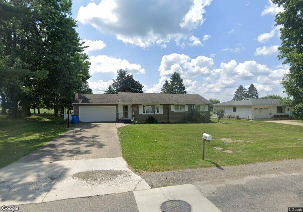
303 W Elm St Reading, MI 49274
Estimated Value: $153,000 - $173,410
3
Beds
1
Bath
1,092
Sq Ft
$148/Sq Ft
Est. Value
About This Home
This home is located at 303 W Elm St, Reading, MI 49274 and is currently estimated at $161,603, approximately $147 per square foot. 303 W Elm St is a home located in Hillsdale County with nearby schools including Reynolds Elementary School, Reading High School, and Cooper Amish School.
Ownership History
Date
Name
Owned For
Owner Type
Purchase Details
Closed on
Aug 28, 2009
Sold by
Walston Daniel L and Warner Peggie Ann
Bought by
Bailey Michael R and Bailey Phyllis J
Current Estimated Value
Home Financials for this Owner
Home Financials are based on the most recent Mortgage that was taken out on this home.
Original Mortgage
$135,000
Interest Rate
5.28%
Mortgage Type
New Conventional
Purchase Details
Closed on
Dec 7, 1990
Sold by
Walston Ina L
Bought by
Walston, Ina L Trust
Purchase Details
Closed on
May 14, 1990
Sold by
Walston Robert W
Bought by
Walston James T and Walston Ina L
Create a Home Valuation Report for This Property
The Home Valuation Report is an in-depth analysis detailing your home's value as well as a comparison with similar homes in the area
Purchase History
| Date | Buyer | Sale Price | Title Company |
|---|---|---|---|
| Bailey Michael R | $68,000 | Public Title Agency | |
| Walston, Ina L Trust | -- | -- | |
| Walston James T | $30,000 | -- |
Source: Public Records
Mortgage History
| Date | Status | Borrower | Loan Amount |
|---|---|---|---|
| Closed | Bailey Michael R | $135,000 |
Source: Public Records
Tax History
| Year | Tax Paid | Tax Assessment Tax Assessment Total Assessment is a certain percentage of the fair market value that is determined by local assessors to be the total taxable value of land and additions on the property. | Land | Improvement |
|---|---|---|---|---|
| 2025 | $771 | $66,300 | $0 | $0 |
| 2024 | $8 | $64,200 | $0 | $0 |
| 2023 | $719 | $48,600 | $0 | $0 |
| 2022 | $1,097 | $40,200 | $0 | $0 |
| 2021 | $1,067 | $38,400 | $0 | $0 |
| 2020 | $1,058 | $33,500 | $0 | $0 |
| 2019 | $1,024 | $32,300 | $0 | $0 |
| 2018 | $984 | $32,700 | $0 | $0 |
| 2017 | $954 | $31,500 | $0 | $0 |
| 2016 | $946 | $30,800 | $0 | $0 |
| 2015 | $606 | $30,800 | $0 | $0 |
| 2013 | -- | $24,990 | $0 | $0 |
| 2012 | $598 | $25,450 | $0 | $0 |
Source: Public Records
Map
Nearby Homes
- 0 W Silver St Unit 25044322
- 309 S Main St
- 123 N Main St
- 108 Lynn St
- V L Long Lake Rd
- V/L Long Lake Rd
- 5411 Lilac Rd
- 5160 Quackenbush Rd
- 5100 Long Lake Rd
- V L Long Lake Rd 2
- 7944 Gilmore Rd
- 3870 Rus Dic Dr
- 9949 Indian Trail
- 4427 Carpenter Rd
- 4111 Blair Rd
- 490 Kelley Rd
- 6524 W Montgomery Rd
- 8875 Kellogg Dr
- 0 Dimmers Rd
- 9059 Kellogg Dr
Your Personal Tour Guide
Ask me questions while you tour the home.