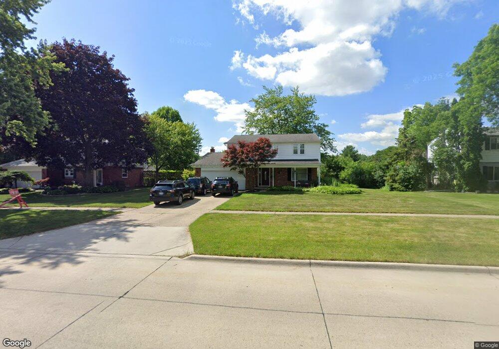
30311 Lyndon St Unit Bldg-Unit Livonia, MI 48154
Estimated Value: $359,000 - $384,436
4
Beds
3
Baths
1,802
Sq Ft
$208/Sq Ft
Est. Value
About This Home
This home is located at 30311 Lyndon St Unit Bldg-Unit, Livonia, MI 48154 and is currently estimated at $374,609, approximately $207 per square foot. 30311 Lyndon St Unit Bldg-Unit is a home located in Wayne County with nearby schools including Roosevelt Elementary School, Emerson Middle School, and Cooper Upper Elementary School.
Ownership History
Date
Name
Owned For
Owner Type
Purchase Details
Closed on
Feb 16, 2018
Sold by
Boone Danielle
Bought by
Scott Michael
Current Estimated Value
Home Financials for this Owner
Home Financials are based on the most recent Mortgage that was taken out on this home.
Original Mortgage
$214,225
Outstanding Balance
$181,656
Interest Rate
4.04%
Mortgage Type
New Conventional
Estimated Equity
$192,953
Purchase Details
Closed on
Jul 15, 2015
Sold by
Larsen Madrine Lee
Bought by
Boone Danielle
Purchase Details
Closed on
Aug 31, 2014
Sold by
Boone Danielle
Bought by
Caliber Home Loans Inc
Purchase Details
Closed on
Apr 13, 2007
Sold by
Larsen David A
Bought by
Larsen Madrine Lee
Create a Home Valuation Report for This Property
The Home Valuation Report is an in-depth analysis detailing your home's value as well as a comparison with similar homes in the area
Home Values in the Area
Average Home Value in this Area
Purchase History
| Date | Buyer | Sale Price | Title Company |
|---|---|---|---|
| Scott Michael | $225,500 | None Available | |
| Boone Danielle | $211,000 | Title Connect Llc | |
| Caliber Home Loans Inc | $168,750 | None Available | |
| Larsen Madrine Lee | -- | None Available |
Source: Public Records
Mortgage History
| Date | Status | Borrower | Loan Amount |
|---|---|---|---|
| Open | Scott Michael | $214,225 |
Source: Public Records
Tax History Compared to Growth
Tax History
| Year | Tax Paid | Tax Assessment Tax Assessment Total Assessment is a certain percentage of the fair market value that is determined by local assessors to be the total taxable value of land and additions on the property. | Land | Improvement |
|---|---|---|---|---|
| 2025 | $2,869 | $172,700 | $0 | $0 |
| 2024 | $2,869 | $163,200 | $0 | $0 |
| 2023 | $2,737 | $146,300 | $0 | $0 |
| 2022 | $4,893 | $133,500 | $0 | $0 |
| 2021 | $4,754 | $125,900 | $0 | $0 |
| 2019 | $4,578 | $110,300 | $0 | $0 |
| 2018 | $2,195 | $105,600 | $0 | $0 |
| 2017 | $4,467 | $100,800 | $0 | $0 |
| 2016 | $4,177 | $100,800 | $0 | $0 |
| 2015 | $7,171 | $81,380 | $0 | $0 |
| 2012 | -- | $68,330 | $19,130 | $49,200 |
Source: Public Records
Map
Nearby Homes
- 30831 Lyndon St
- 29831 Oakley St
- 29631 Lyndon St
- 14127 Hillcrest St
- 30261 Buckingham St
- 14292 Hubbell St
- 31221 Lyndon St
- 31126 Grennada St
- 14962 Beatrice St
- 29760 Hoy St
- 14154 Hubbell St
- 14164 Bainbridge St
- 14327 Arden St
- 15345 Bainbridge St
- 14563 Melrose St
- 14109 Arden St
- 29109 Perth St
- 31005 Roycroft St
- 14677 Auburndale St
- 15608 Hidden Ln
- 30311 Lyndon St
- 30299 Lyndon St
- 30333 Lyndon St
- 30310 Oakview St
- 30340 Oakview St
- 30320 Oakview St
- 30277 Lyndon St
- 30365 Lyndon St
- 30280 Oakview St
- 30370 Oakview St
- 30255 Lyndon St
- 30262 Oakview St
- 14401 Doris St
- 30203 Lyndon St
- 14402 Doris St
- 30246 Oakview St
- 14404 Henry Ruff St
- 30200 Lyndon St
- 30425 Lyndon St
- 14387 Doris St