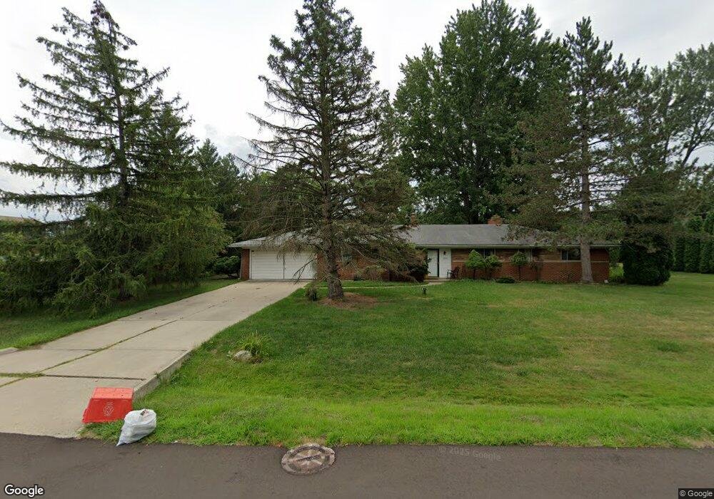
30311 Rushmore Cir Franklin, MI 48025
Estimated Value: $358,731 - $497,000
2
Beds
2
Baths
1,894
Sq Ft
$221/Sq Ft
Est. Value
About This Home
This home is located at 30311 Rushmore Cir, Franklin, MI 48025 and is currently estimated at $419,433, approximately $221 per square foot. 30311 Rushmore Cir is a home located in Oakland County with nearby schools including Wylie E. Groves High School, West Maple Elementary School, and Berkshire Middle School.
Ownership History
Date
Name
Owned For
Owner Type
Purchase Details
Closed on
Oct 25, 2006
Sold by
Friedman Mildred and Mildred Friedman Revocable Liv
Bought by
Gay Joseph M and Gay Karen E Knox
Current Estimated Value
Home Financials for this Owner
Home Financials are based on the most recent Mortgage that was taken out on this home.
Original Mortgage
$180,500
Outstanding Balance
$106,115
Interest Rate
6.38%
Mortgage Type
Purchase Money Mortgage
Estimated Equity
$313,318
Purchase Details
Closed on
Dec 19, 2002
Sold by
Friedman Mildred
Bought by
Mildred Friedman Tr
Create a Home Valuation Report for This Property
The Home Valuation Report is an in-depth analysis detailing your home's value as well as a comparison with similar homes in the area
Home Values in the Area
Average Home Value in this Area
Purchase History
| Date | Buyer | Sale Price | Title Company |
|---|---|---|---|
| Gay Joseph M | $180,500 | Alpha Title Agency Inc | |
| Mildred Friedman Tr | -- | -- |
Source: Public Records
Mortgage History
| Date | Status | Borrower | Loan Amount |
|---|---|---|---|
| Open | Gay Joseph M | $180,500 |
Source: Public Records
Tax History
| Year | Tax Paid | Tax Assessment Tax Assessment Total Assessment is a certain percentage of the fair market value that is determined by local assessors to be the total taxable value of land and additions on the property. | Land | Improvement |
|---|---|---|---|---|
| 2025 | $2,256 | $140,070 | $0 | $0 |
| 2024 | $2,620 | $130,950 | $0 | $0 |
| 2023 | $2,484 | $126,470 | $0 | $0 |
| 2022 | $2,688 | $120,430 | $0 | $0 |
| 2021 | $2,677 | $116,560 | $0 | $0 |
| 2020 | $2,285 | $103,130 | $0 | $0 |
| 2019 | $2,082 | $97,300 | $0 | $0 |
| 2018 | $2,698 | $99,720 | $0 | $0 |
| 2017 | $2,735 | $99,720 | $0 | $0 |
| 2016 | $3,615 | $98,340 | $0 | $0 |
| 2015 | -- | $88,680 | $0 | $0 |
| 2014 | -- | $80,020 | $0 | $0 |
| 2011 | -- | $64,470 | $0 | $0 |
Source: Public Records
Map
Nearby Homes
- 30476 Birchway Dr
- 30526 Birchway Dr
- 30485 Helmandale Dr
- 30030 Wildbrook Dr Unit 102
- 24100 Wildbrook Ct
- 24235 Wildbrook Ct
- 24100 Wildbrook Ct Unit 101
- 29950 Forest Dr
- 23715 Overlook Cir
- 25039 Woodvale Dr N Unit H25
- 25033 Woodvale Dr N Unit G24
- 25047 Woodvale Dr S Unit D15
- 25035 Woodvale Dr S
- 29413 Timberwood Ln
- 25064 Champlaign Dr Unit 9B
- 25006 Chambley Dr Unit 8C
- 29161 Village Rd
- 29332 Wellington Rd W
- 29322 Wellington Rd W Unit K 111
- 29200 Wildbrook Dr
- 30345 Rushmore Cir
- 30120 Helmandale Dr
- 30150 Helmandale Dr
- 30310 Rushmore Cir
- 30354 Rushmore Cir
- 30375 Rushmore Cir
- 30180 Helmandale Dr
- 30125 Helmandale Dr
- 30145 Helmandale Dr
- 30425 Rushmore Cir
- 30430 Rushmore Cir
- 30240 Helmandale Dr
- 30185 Helmandale Dr
- 30475 Birchway Dr
- 30100 Telegraph Rd Turnberry Blvd
- 30400 Helmandale Dr
- 30445 Rushmore Cir
- 30225 Helmandale Dr
- 30470 Rushmore Cir
- 30205 Helmandale Dr
Your Personal Tour Guide
Ask me questions while you tour the home.