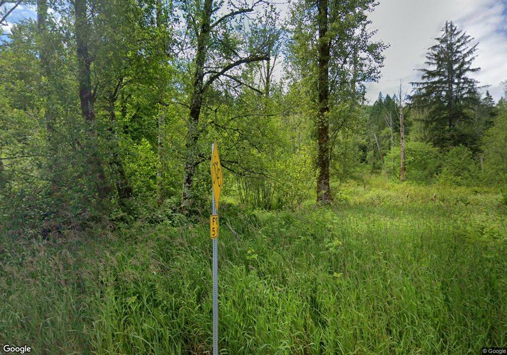
30313 State Route 530 NE Arlington, WA 98223
Estimated Value: $461,000
2
Beds
1
Bath
960
Sq Ft
$480/Sq Ft
Est. Value
About This Home
This home is located at 30313 State Route 530 NE, Arlington, WA 98223 and is currently estimated at $461,000, approximately $480 per square foot. 30313 State Route 530 NE is a home with nearby schools including Darrington Elementary School and Darrington High School.
Ownership History
Date
Name
Owned For
Owner Type
Purchase Details
Closed on
May 20, 2019
Sold by
Sackett Louis
Bought by
Rasmussen Brent and Rasmussen Brandi
Current Estimated Value
Home Financials for this Owner
Home Financials are based on the most recent Mortgage that was taken out on this home.
Original Mortgage
$290,700
Outstanding Balance
$255,584
Interest Rate
4.2%
Mortgage Type
New Conventional
Estimated Equity
$205,416
Purchase Details
Closed on
Mar 17, 2017
Sold by
Sackell Louis
Bought by
Marzolf Bart
Create a Home Valuation Report for This Property
The Home Valuation Report is an in-depth analysis detailing your home's value as well as a comparison with similar homes in the area
Home Values in the Area
Average Home Value in this Area
Purchase History
| Date | Buyer | Sale Price | Title Company |
|---|---|---|---|
| Rasmussen Brent | $306,000 | Chicago Title | |
| Marzolf Bart | -- | Chicago Title Insurance Co |
Source: Public Records
Mortgage History
| Date | Status | Borrower | Loan Amount |
|---|---|---|---|
| Open | Rasmussen Brent | $290,700 |
Source: Public Records
Tax History Compared to Growth
Tax History
| Year | Tax Paid | Tax Assessment Tax Assessment Total Assessment is a certain percentage of the fair market value that is determined by local assessors to be the total taxable value of land and additions on the property. | Land | Improvement |
|---|---|---|---|---|
| 2025 | $2,585 | $429,400 | $235,800 | $193,600 |
| 2024 | $2,585 | $380,100 | $199,200 | $180,900 |
| 2023 | $3,046 | $443,100 | $253,500 | $189,600 |
| 2022 | $2,566 | $318,800 | $159,400 | $159,400 |
| 2020 | $2,101 | $234,800 | $125,400 | $109,400 |
| 2019 | $2,011 | $221,900 | $116,000 | $105,900 |
| 2018 | $2,098 | $181,300 | $80,500 | $100,800 |
| 2017 | $1,907 | $161,000 | $60,000 | $101,000 |
| 2016 | $1,857 | $137,100 | $41,400 | $95,700 |
| 2015 | $2,154 | $146,900 | $52,300 | $94,600 |
| 2013 | $2,014 | $140,600 | $61,100 | $79,500 |
Source: Public Records
Map
Nearby Homes
- 33110 State Route 530 NE
- 305th 138th St NE
- 34228 310th Place NE
- 31001 356th Ave NE
- 31511 367th Ave NE
- 36817 State Route 530 NE
- 38324 State Route 530 NE
- 31015 W Whitehorse Dr
- 39615 309th St NE
- 30600 412th Dr NE
- 27525 W Lake Riley Rd
- 35046 N Shore Dr
- 34989 N Shore Dr
- 18 Xxx Jim Creek Rd
- 34354 S Shore Dr
- 0 XXXXX S Shore Dr
- 32966 S Shore Dr
- 34750 S Shore Dr
- 6 Stillaguamish
- 33571 Cliff Rd
- 30427 State Route 530 NE
- 31830 State Route 530 NE
- 30516 State Route 530 NE
- 30214 State Route 530 NE
- 31010 State Route 530 NE
- 31020 State Route 530 NE
- 30023 State Route 530 NE
- 29826 State Route 530 NE
- 29724 State Route 530 NE
- 29710 State Route 530 NE
- 31414 State Route 530 NE
- 29520 State Route 530 NE
- 29415 State Route 530 NE
- 29426 State Route 530 NE
- 29425 State Route 530 NE
- 29425 State Route 530 NE
- 29230 State Route 530 NE
- 31523 State Route 530 NE
- 31608 State Route 530 NE
- 31608 Sr530 NE
