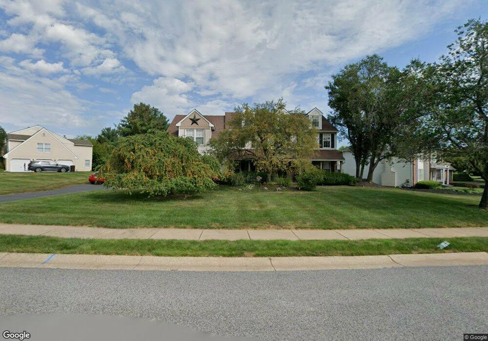
3032 Pawlings Ford Rd Lansdale, PA 19446
Estimated Value: $827,000 - $866,000
4
Beds
3
Baths
3,264
Sq Ft
$260/Sq Ft
Est. Value
About This Home
This home is located at 3032 Pawlings Ford Rd, Lansdale, PA 19446 and is currently estimated at $848,886, approximately $260 per square foot. 3032 Pawlings Ford Rd is a home located in Montgomery County with nearby schools including Worcester Elementary School, Skyview Upper Elementary School, and Arcola Intermediate School.
Ownership History
Date
Name
Owned For
Owner Type
Purchase Details
Closed on
Feb 28, 1999
Sold by
Kordenbrock Robert J and Kordenbrock Nancy M
Bought by
Davis Samuel W and Davis Nan G
Current Estimated Value
Purchase Details
Closed on
Jan 29, 1997
Sold by
Barker Nicholas P and Barker Deborah M
Bought by
Kordenbrock Robert J and Kordenbrock Nancy M
Create a Home Valuation Report for This Property
The Home Valuation Report is an in-depth analysis detailing your home's value as well as a comparison with similar homes in the area
Home Values in the Area
Average Home Value in this Area
Purchase History
| Date | Buyer | Sale Price | Title Company |
|---|---|---|---|
| Davis Samuel W | $297,500 | -- | |
| Kordenbrock Robert J | $293,000 | -- |
Source: Public Records
Tax History Compared to Growth
Tax History
| Year | Tax Paid | Tax Assessment Tax Assessment Total Assessment is a certain percentage of the fair market value that is determined by local assessors to be the total taxable value of land and additions on the property. | Land | Improvement |
|---|---|---|---|---|
| 2025 | $10,671 | $281,720 | $87,720 | $194,000 |
| 2024 | $10,671 | $281,720 | $87,720 | $194,000 |
| 2023 | $10,235 | $281,720 | $87,720 | $194,000 |
| 2022 | $10,037 | $281,720 | $87,720 | $194,000 |
| 2021 | $9,839 | $281,720 | $87,720 | $194,000 |
| 2020 | $9,657 | $281,720 | $87,720 | $194,000 |
| 2019 | $9,562 | $281,720 | $87,720 | $194,000 |
| 2018 | $1,098 | $281,720 | $87,720 | $194,000 |
| 2017 | $9,195 | $281,720 | $87,720 | $194,000 |
| 2016 | $9,085 | $281,720 | $87,720 | $194,000 |
| 2015 | $8,762 | $281,720 | $87,720 | $194,000 |
| 2014 | $8,762 | $281,720 | $87,720 | $194,000 |
Source: Public Records
Map
Nearby Homes
- 1939 Penngrove Terrace
- 2806 Morris Rd
- 937 General Nash Dr
- 2203 Weber Rd
- 1825 Flintlock Cir
- 210 Berwick Place Unit 20E
- 1653 Bridle Path Dr
- 4 Anglesey
- 1625 Clearbrook Rd
- 1116 Dogwood Ct
- 1811 Hollow Rd
- 803 Poplar Ct
- 3180 Zacharias Rd
- 2725 Skippack Pike
- 1716 Landis Rd
- 2696 Capri Ln
- 1401 Oak Cir
- 641 Jones Ave
- 643 Jones Ave
- 984 Independence Ln Unit 13
- 3034 Pawlings Ford Rd
- 3030 Pawlings Ford Rd
- 3036 Pawlings Ford Rd
- 3027 Pawlings Ford Rd
- 2286 Locust Dr
- 3031 Pawlings Ford Rd
- 2284 Locust Dr
- 3029 Pawlings Ford Rd
- 3033 Pawlings Ford Rd
- 2288 Locust Dr
- 3038 Pawlings Ford Rd
- 3035 Pawlings Ford Rd
- 3026 Pawlings Ford Rd
- 3025 Pawlings Ford Rd
- 2290 Locust Dr
- 3023 Pawlings Ford Rd
- 3037 Pawlings Ford Rd
- 3040 Pawlings Ford Rd
- 3039 Pawlings Ford Rd
- 3021 Pawlings Ford Rd