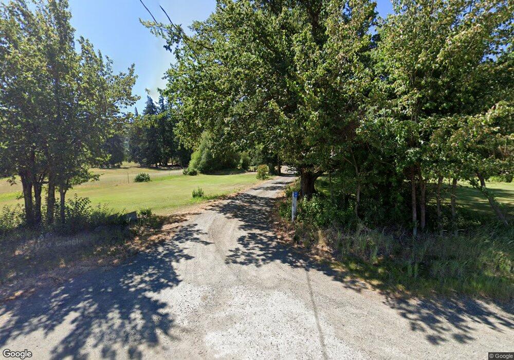
3032 Upper Peoh Point Rd Cle Elum, WA 98922
Estimated Value: $627,000 - $788,000
2
Beds
1
Bath
2,176
Sq Ft
$332/Sq Ft
Est. Value
About This Home
This home is located at 3032 Upper Peoh Point Rd, Cle Elum, WA 98922 and is currently estimated at $722,572, approximately $332 per square foot. 3032 Upper Peoh Point Rd is a home located in Kittitas County with nearby schools including Cle Elum Roslyn Elementary School, Walter Strom Middle School, and Cle Elum Roslyn High School.
Ownership History
Date
Name
Owned For
Owner Type
Purchase Details
Closed on
Oct 29, 2021
Sold by
Curry David V and Kelly Deborah L
Bought by
Foust Jeffrey A and Foust Marilyn J
Current Estimated Value
Home Financials for this Owner
Home Financials are based on the most recent Mortgage that was taken out on this home.
Original Mortgage
$392,000
Outstanding Balance
$358,648
Interest Rate
2.88%
Mortgage Type
New Conventional
Estimated Equity
$363,924
Purchase Details
Closed on
Jun 6, 2018
Sold by
Peterson Wescott W
Bought by
Curry David V and Kelly Deborah L
Create a Home Valuation Report for This Property
The Home Valuation Report is an in-depth analysis detailing your home's value as well as a comparison with similar homes in the area
Home Values in the Area
Average Home Value in this Area
Purchase History
| Date | Buyer | Sale Price | Title Company |
|---|---|---|---|
| Foust Jeffrey A | -- | None Available | |
| Curry David V | -- | None Available |
Source: Public Records
Mortgage History
| Date | Status | Borrower | Loan Amount |
|---|---|---|---|
| Open | Foust Jeffrey A | $392,000 |
Source: Public Records
Tax History Compared to Growth
Tax History
| Year | Tax Paid | Tax Assessment Tax Assessment Total Assessment is a certain percentage of the fair market value that is determined by local assessors to be the total taxable value of land and additions on the property. | Land | Improvement |
|---|---|---|---|---|
| 2025 | $3,434 | $583,870 | $224,150 | $359,720 |
| 2023 | $3,434 | $519,200 | $184,150 | $335,050 |
| 2022 | $3,158 | $433,780 | $149,150 | $284,630 |
| 2021 | $3,245 | $428,110 | $149,150 | $278,960 |
| 2019 | $2,498 | $327,740 | $114,150 | $213,590 |
| 2018 | $2,291 | $285,020 | $114,150 | $170,870 |
| 2017 | $2,291 | $285,020 | $114,150 | $170,870 |
| 2016 | $2,349 | $291,350 | $120,480 | $170,870 |
| 2015 | $2,087 | $291,350 | $120,480 | $170,870 |
| 2013 | -- | $241,040 | $93,300 | $147,740 |
Source: Public Records
Map
Nearby Homes
- 31 Groeschell Rd
- 70 Farmhouse Way
- 491 Pease Rd
- 1721 Forest Ridge Dr
- 31 Forest Ridge Dr
- 181 Elk Rd
- 120 Noble Place
- 0 XXX Westside Rd
- 500 Colfax Rd
- 208 Sage Brook Ln
- 220 Sage Brook Ln
- 0 NKA Milwaukee Ave
- 911 Westside Rd
- 501 Cleveland Ave
- 513 Cleveland Ave
- 713 Main St
- 0 NKA Anders Dr
- 505 6th St
- 741 McDonald Rd
- 819 E 1st St
- 3001 Upper Peoh Point Rd
- 111 Alice Rd
- 3030 Upper Peoh Point Rd
- 0 Alice Rd Unit 1299511
- 0 Alice Rd Unit 107818
- 0 Alice Rd Unit 1142839
- 0 Alice Rd Unit 1792836
- 0 Alice Rd Unit 1769300
- 40 Big House Rd
- 2241 Forest Ridge Dr
- 1610 Forest Ridge Dr
- 2906 Upper Peoh Point Rd
- 2501 Upper Peoh Point Rd
- 491 Alice Rd
- 791 Alice Rd
- 871 Alice Rd
- 220 Big House Rd
- 780 Alice Rd
- 0 Off Alice Rd Unit 28120708
- 680 Alice Rd
