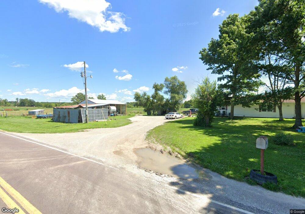
3033 State Route W Fayette, MO 65248
Estimated Value: $197,000 - $354,463
4
Beds
--
Bath
2,088
Sq Ft
$140/Sq Ft
Est. Value
About This Home
This home is located at 3033 State Route W, Fayette, MO 65248 and is currently estimated at $292,821, approximately $140 per square foot. 3033 State Route W is a home with nearby schools including Laurence J. Daly Elementary School, William N. Clark Middle School, and Fayette High School.
Create a Home Valuation Report for This Property
The Home Valuation Report is an in-depth analysis detailing your home's value as well as a comparison with similar homes in the area
Home Values in the Area
Average Home Value in this Area
Tax History Compared to Growth
Tax History
| Year | Tax Paid | Tax Assessment Tax Assessment Total Assessment is a certain percentage of the fair market value that is determined by local assessors to be the total taxable value of land and additions on the property. | Land | Improvement |
|---|---|---|---|---|
| 2025 | $1,154 | $15,870 | $0 | $0 |
| 2024 | $1,154 | $14,450 | $0 | $0 |
| 2023 | $1,051 | $14,450 | $0 | $0 |
| 2022 | $1,051 | $14,450 | $0 | $0 |
| 2021 | $990 | $14,450 | $0 | $0 |
| 2020 | $993 | $14,580 | $0 | $0 |
| 2019 | $1,004 | $14,610 | $0 | $0 |
| 2018 | $898 | $14,610 | $0 | $0 |
| 2017 | $897 | $14,610 | $0 | $0 |
| 2016 | $896 | $14,610 | $0 | $0 |
| 2015 | -- | $14,610 | $0 | $0 |
| 2014 | -- | $14,580 | $0 | $0 |
| 2013 | -- | $14,580 | $0 | $0 |
| 2012 | -- | $14,580 | $0 | $0 |
Source: Public Records
Map
Nearby Homes
- TR 4E
- 421 County Road 431
- 165 Marshall Ct
- 2240 Missouri 240
- 1740 Highway 240
- TR 4D 7 9 Ac Mo 240
- TR 4F
- 7100 N Sycamore
- 11316 W Bradley Ln
- 9950 N Herman Nichols
- 4201 Missouri 240
- 142 County Road 402
- 505A AND B W Walnut St
- 12500 W Rocheport Gravel Rd
- 39 County Road 439
- 637 County Road 102
- 0 N Evert School Rd
- 000 W Graham Rd
- 102 S Gaw St
- 107 Cravens St