Estimated Value: $3,994,670
--
Bed
--
Bath
7,286
Sq Ft
$548/Sq Ft
Est. Value
About This Home
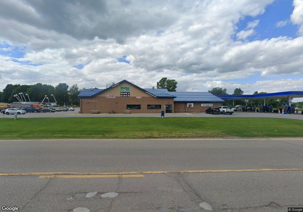
This home is located at 3034 Lansing Rd, Perry, MI 48872 and is currently estimated at $3,994,670, approximately $548 per square foot. 3034 Lansing Rd is a home located in Shiawassee County with nearby schools including Perry Elementary School, Perry Middle School, and Perry High School.
Ownership History
Date
Name
Owned For
Owner Type
Purchase Details
Closed on
Dec 6, 2024
Sold by
Roadtrip Sunoco Properties Llc
Bought by
Spartan Stores Fuel Llc
Current Estimated Value
Purchase Details
Closed on
Aug 31, 2020
Sold by
Markham Properties Iv Llc
Bought by
Roadtrip Sunoco Properties Llc
Home Financials for this Owner
Home Financials are based on the most recent Mortgage that was taken out on this home.
Original Mortgage
$1,592,707
Interest Rate
2.9%
Mortgage Type
Future Advance Clause Open End Mortgage
Create a Home Valuation Report for This Property
The Home Valuation Report is an in-depth analysis detailing your home's value as well as a comparison with similar homes in the area
Home Values in the Area
Average Home Value in this Area
Purchase History
| Date | Buyer | Sale Price | Title Company |
|---|---|---|---|
| Spartan Stores Fuel Llc | $3,630,031 | None Listed On Document | |
| Spartan Stores Fuel Llc | $3,630,031 | None Listed On Document | |
| Roadtrip Sunoco Properties Llc | -- | Transnation Title Agency |
Source: Public Records
Mortgage History
| Date | Status | Borrower | Loan Amount |
|---|---|---|---|
| Previous Owner | Roadtrip Sunoco Properties Llc | $1,592,707 |
Source: Public Records
Tax History Compared to Growth
Tax History
| Year | Tax Paid | Tax Assessment Tax Assessment Total Assessment is a certain percentage of the fair market value that is determined by local assessors to be the total taxable value of land and additions on the property. | Land | Improvement |
|---|---|---|---|---|
| 2025 | $31,526 | $912,500 | $0 | $0 |
| 2024 | $29,813 | $562,900 | $0 | $0 |
| 2023 | $18,392 | $521,000 | $0 | $0 |
| 2022 | $28,203 | $485,700 | $0 | $0 |
| 2021 | $26,890 | $509,700 | $0 | $0 |
| 2020 | $26,783 | $494,200 | $0 | $0 |
| 2019 | $26,125 | $424,900 | $0 | $0 |
| 2018 | $25,625 | $424,900 | $0 | $0 |
| 2017 | $24,630 | $404,200 | $0 | $0 |
| 2016 | -- | $404,200 | $0 | $0 |
| 2015 | -- | $401,400 | $0 | $0 |
| 2014 | $169 | $428,400 | $0 | $0 |
Source: Public Records
Map
Nearby Homes
- 10980 S M 52
- 402 W Rolfe St
- 368 Green
- 00 W Riverview Dr
- 321 Lamb St
- The Nantucket Plan at Perry Lakes
- The Newton Plan at Perry Lakes
- The Newcastle Plan at Perry Lakes
- The Hartwell Plan at Perry Lakes
- The Hatfield Plan at Perry Lakes
- The Norway Plan at Perry Lakes
- 606 Launch Point Dr
- 605 Landbridge
- 5691 Michigan 52
- 0 M-52 Hwy Unit 261982
- 220 E 3rd St
- 422 E 2nd St
- 310 E Orchard St
- 0 E Lansing Rd
- 11175 S Morrice Rd
- 3034 Lansing Rd
- 3400 W Lansing Rd
- 3400 Lansing Rd
- 3105 Lansing Rd
- 3105 Lansing Rd
- 3115 Lansing Rd
- 7375 W Lansing Rd
- 10980 S M-52
- 3100 Britton Rd
- 3100 Britton Rd
- 3100 W Britton Rd
- 0 Britton Rd Unit 218055319
- 0 Britton Rd
- 0 Britton Rd Unit G31307552
- 0 Britton Rd Unit G50029654
- 0 Britton Rd Unit L261453
- 0 Britton Rd Unit 189583
- 0 Britton Rd Unit 189579
- 0 Britton Rd Unit 189585
- 0 Britton Rd Unit 68675