30341 S Oswalt Rd Colton, OR 97017
Estimated Value: $525,000 - $680,000
3
Beds
1
Bath
1,150
Sq Ft
$520/Sq Ft
Est. Value
About This Home
This home is located at 30341 S Oswalt Rd, Colton, OR 97017 and is currently estimated at $597,535, approximately $519 per square foot. 30341 S Oswalt Rd is a home located in Clackamas County with nearby schools including Colton Elementary School, Colton Middle School, and Colton High School.
Ownership History
Date
Name
Owned For
Owner Type
Purchase Details
Closed on
May 11, 2012
Sold by
Haines Alvin L
Bought by
Haines Alvin L and Haines Mary Grace
Current Estimated Value
Purchase Details
Closed on
Sep 30, 1997
Sold by
Shreve William D and Shreve Carol J
Bought by
Haines Alvin L
Home Financials for this Owner
Home Financials are based on the most recent Mortgage that was taken out on this home.
Original Mortgage
$130,950
Outstanding Balance
$20,240
Interest Rate
7.44%
Estimated Equity
$577,295
Purchase Details
Closed on
May 13, 1996
Sold by
Browne Beverly A
Bought by
Shreve William D and Shreve Carol J
Create a Home Valuation Report for This Property
The Home Valuation Report is an in-depth analysis detailing your home's value as well as a comparison with similar homes in the area
Home Values in the Area
Average Home Value in this Area
Purchase History
| Date | Buyer | Sale Price | Title Company |
|---|---|---|---|
| Haines Alvin L | -- | First American | |
| Haines Alvin L | $163,700 | Stewart Title | |
| Shreve William D | $75,000 | Stewart Title |
Source: Public Records
Mortgage History
| Date | Status | Borrower | Loan Amount |
|---|---|---|---|
| Open | Haines Alvin L | $130,950 |
Source: Public Records
Tax History Compared to Growth
Tax History
| Year | Tax Paid | Tax Assessment Tax Assessment Total Assessment is a certain percentage of the fair market value that is determined by local assessors to be the total taxable value of land and additions on the property. | Land | Improvement |
|---|---|---|---|---|
| 2025 | $2,977 | $253,743 | -- | -- |
| 2024 | $3,002 | $246,353 | -- | -- |
| 2023 | $3,002 | $239,178 | $0 | $0 |
| 2022 | $2,818 | $232,212 | $0 | $0 |
| 2021 | $2,683 | $225,449 | $0 | $0 |
| 2020 | $2,609 | $218,883 | $0 | $0 |
| 2019 | $2,531 | $212,508 | $0 | $0 |
| 2018 | $2,472 | $206,318 | $0 | $0 |
| 2017 | $2,406 | $200,309 | $0 | $0 |
| 2016 | $2,320 | $194,475 | $0 | $0 |
| 2015 | $2,256 | $188,811 | $0 | $0 |
| 2014 | $2,049 | $183,312 | $0 | $0 |
Source: Public Records
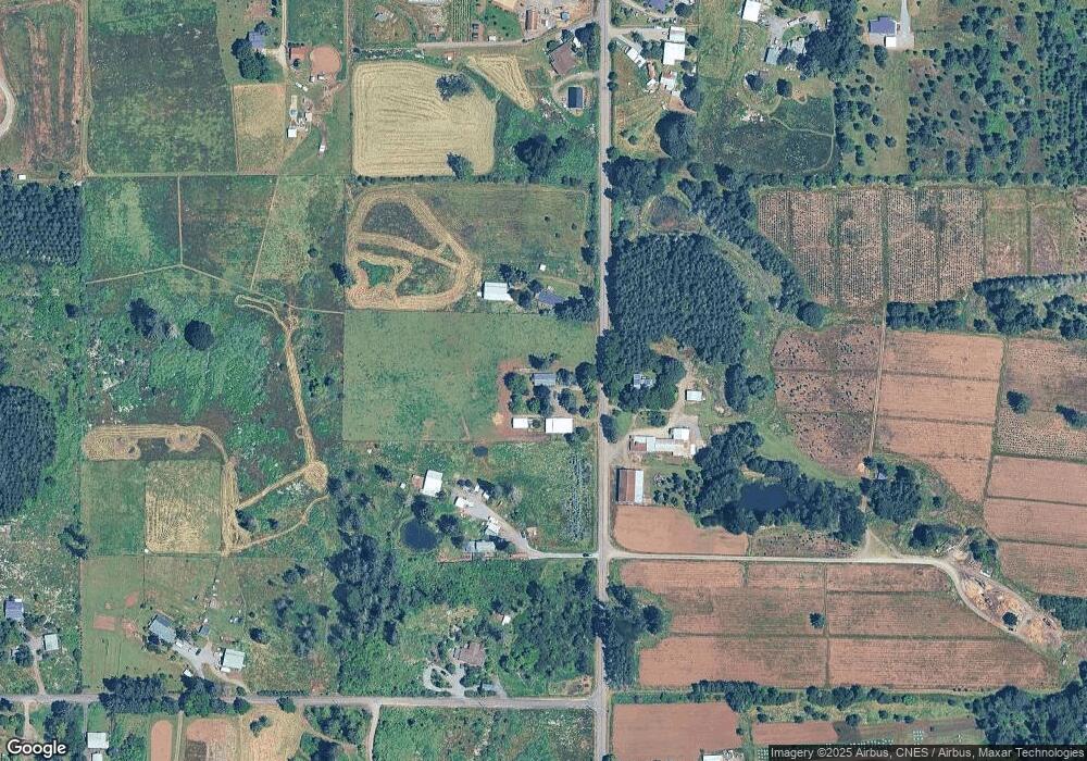
Map
Nearby Homes
- 19807 S Highway 211
- 19345 S Rockney Rd
- 30811 S Oswalt Rd
- 30725 S Wall St
- 29882 S Hult Rd
- 19400 S Frank Rd
- 30850 S Marian St
- 30886 S Marian St
- 18863 S Norry Ct
- 18247 S Highway 211
- 18215 Oregon 211
- 32553 S Dhooghe Rd
- 0 S Hult Rd
- 29555 S Beavercreek Rd
- 27882 S Mote Ln
- 22816 S Bonney Rd
- 23456 S Schieffer Rd
- 16290 S Riverview Rd
- 30142 S Meadowbrook Ln
- 23533 S Bonney Rd
- 30356 S Oswalt Rd
- 30431 S Oswalt Rd
- 30301 S Oswalt Rd
- 19943 S Harper Rd
- 30173 S Oswalt Rd
- 31155 S Oswalt Rd
- 30200 S Oswalt Rd
- 19858 S Harper Rd
- 19978 S Highway 211
- 19858 S Highway 211
- 30576 S Oswalt Rd
- 19877 S Harper Rd
- 20068 S Highway 211
- 30190 S Oswalt Rd
- 30606 S Oswalt Rd
- 19768 S Harper Rd
- 19733 S Harper Rd
- 30610 S Oswalt Rd
- 19927 S Highway 211
- 19728 S Harper Rd