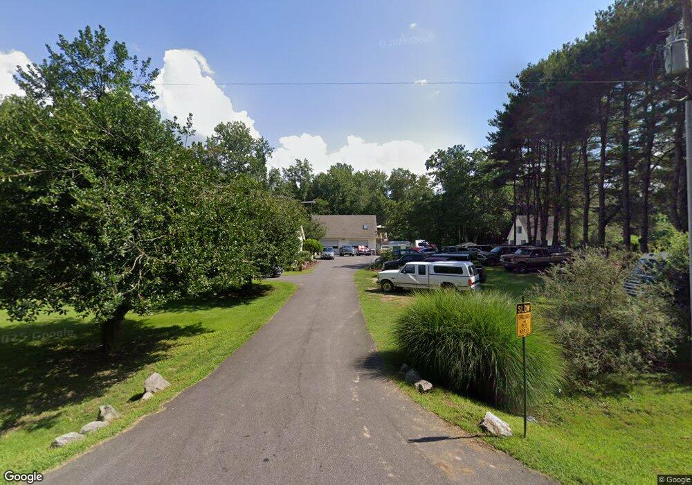
30343 Kates Point Rd Trappe, MD 21673
Estimated Value: $443,105 - $705,000
Studio
2
Baths
2,409
Sq Ft
$238/Sq Ft
Est. Value
About This Home
This home is located at 30343 Kates Point Rd, Trappe, MD 21673 and is currently estimated at $572,276, approximately $237 per square foot. 30343 Kates Point Rd is a home located in Talbot County with nearby schools including White Marsh Elementary School, Easton Middle School, and Easton High School.
Ownership History
Date
Name
Owned For
Owner Type
Purchase Details
Closed on
Sep 2, 1988
Sold by
Gooding Charles L
Bought by
Mullins Thomas I and Mullins Carol J
Current Estimated Value
Purchase Details
Closed on
Oct 27, 1986
Sold by
Armstrong Robert V
Bought by
Gooding Charles L
Create a Home Valuation Report for This Property
The Home Valuation Report is an in-depth analysis detailing your home's value as well as a comparison with similar homes in the area
Home Values in the Area
Average Home Value in this Area
Purchase History
| Date | Buyer | Sale Price | Title Company |
|---|---|---|---|
| Mullins Thomas I | $19,000 | -- | |
| Gooding Charles L | $25,000 | -- |
Source: Public Records
Tax History
| Year | Tax Paid | Tax Assessment Tax Assessment Total Assessment is a certain percentage of the fair market value that is determined by local assessors to be the total taxable value of land and additions on the property. | Land | Improvement |
|---|---|---|---|---|
| 2025 | $1,918 | $388,600 | $0 | $0 |
| 2024 | $1,865 | $359,600 | $0 | $0 |
| 2023 | $1,645 | $330,600 | $87,200 | $243,400 |
| 2022 | $1,643 | $326,167 | $0 | $0 |
| 2021 | $1,557 | $321,733 | $0 | $0 |
| 2020 | $1,557 | $317,300 | $87,200 | $230,100 |
| 2019 | $1,556 | $316,267 | $0 | $0 |
| 2018 | $1,512 | $315,233 | $0 | $0 |
| 2017 | $1,450 | $314,200 | $0 | $0 |
| 2016 | $1,382 | $314,200 | $0 | $0 |
| 2015 | $1,289 | $314,300 | $0 | $0 |
| 2014 | $1,289 | $319,300 | $0 | $0 |
Source: Public Records
Map
Nearby Homes
- 1231 Lake Meade Dr
- 1233 Lake Meade Dr
- 3750 Windy Hill Rd
- 4108 Saulsbury Rd
- 30423 Baynard Rd
- 3859 Rumsey Dr
- 4108 Saulsbury Ln
- 1662 Lake Placid Dr
- 1666 Lake Placid Dr
- 1561 Lake Tahoe Dr
- 1531 Lake Tahoe Dr
- 1305 Lake Lucerne Ln
- 1557 Lake Tahoe Dr
- 1553 Lake Tahoe Dr
- Charleston slab Plan at Lakeside at Trappe - Signature
- Alan Plan at Lakeside at Trappe - Signature
- Broadmoor Plan at Lakeside at Trappe - Signature
- Devonshire Front Load Garage Plan at Lakeside at Trappe - Townhomes
- Elmwood Front Load Garage Plan at Lakeside at Trappe - Townhomes
- Davidson Plan at Lakeside at Trappe - Signature
- 30327 Kates Point Rd
- 30319 Kates Point Rd
- 30367 Kates Point Rd
- 3745 Koogler Rd
- 3721 Koogler Rd
- 3785 Koogler Rd
- 3801 Koogler Rd
- 3821 Koogler Rd
- 3835 Koogler Rd
- 1235 Lake Meade Dr
- 30391 Taylor Rd
- Barber Rd
- 30388 Barber Rd
- 30560 Kates Point Rd
- 30137 Barber Rd
- 30123 Barber Rd
- 30101 Barber Rd
- 3591 Brummell Dr
- 30080 Barber Rd
- 3633 Barber Heights Rd
Your Personal Tour Guide
Ask me questions while you tour the home.