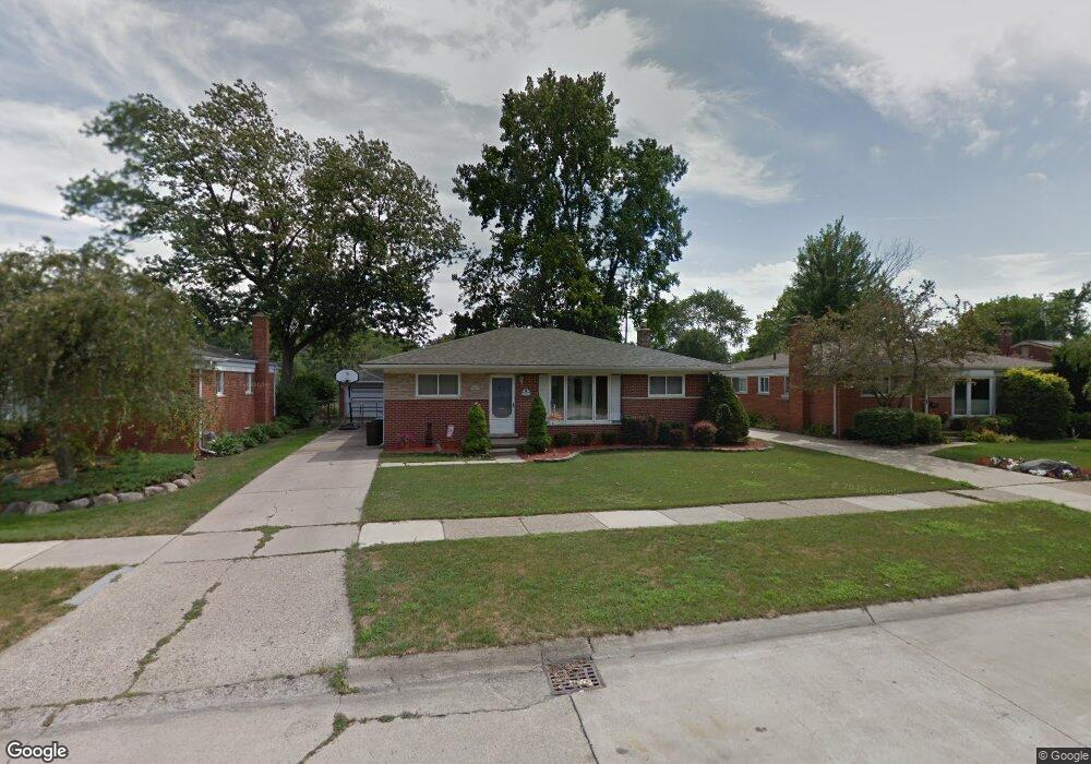
30347 Ledgecliff Ave Westland, MI 48185
Estimated Value: $264,000 - $293,000
--
Bed
2
Baths
1,375
Sq Ft
$203/Sq Ft
Est. Value
About This Home
This home is located at 30347 Ledgecliff Ave, Westland, MI 48185 and is currently estimated at $278,573, approximately $202 per square foot. 30347 Ledgecliff Ave is a home located in Wayne County with nearby schools including Hayes Elementary School, Cooper Upper Elementary School, and Emerson Middle School.
Ownership History
Date
Name
Owned For
Owner Type
Purchase Details
Closed on
Apr 28, 2020
Sold by
Wenson Paul E and Mcgeorge Karen
Bought by
Paul E Wenson Trust
Current Estimated Value
Purchase Details
Closed on
Dec 28, 2001
Sold by
Matyas Kasey M
Bought by
Mcgeorge Karen
Home Financials for this Owner
Home Financials are based on the most recent Mortgage that was taken out on this home.
Original Mortgage
$120,000
Interest Rate
6.93%
Purchase Details
Closed on
Aug 18, 2000
Sold by
Creesy Edward L
Bought by
Matyas Kasey M
Create a Home Valuation Report for This Property
The Home Valuation Report is an in-depth analysis detailing your home's value as well as a comparison with similar homes in the area
Home Values in the Area
Average Home Value in this Area
Purchase History
| Date | Buyer | Sale Price | Title Company |
|---|---|---|---|
| Paul E Wenson Trust | -- | None Available | |
| Mcgeorge Karen | $175,000 | -- | |
| Matyas Kasey M | $170,000 | -- |
Source: Public Records
Mortgage History
| Date | Status | Borrower | Loan Amount |
|---|---|---|---|
| Previous Owner | Mcgeorge Karen | $120,000 |
Source: Public Records
Tax History Compared to Growth
Tax History
| Year | Tax Paid | Tax Assessment Tax Assessment Total Assessment is a certain percentage of the fair market value that is determined by local assessors to be the total taxable value of land and additions on the property. | Land | Improvement |
|---|---|---|---|---|
| 2025 | $2,686 | $124,600 | $0 | $0 |
| 2024 | $2,686 | $117,400 | $0 | $0 |
| 2023 | $2,564 | $107,700 | $0 | $0 |
| 2022 | $2,918 | $95,700 | $0 | $0 |
| 2021 | $2,844 | $91,000 | $0 | $0 |
| 2020 | $2,815 | $83,800 | $0 | $0 |
| 2019 | $2,682 | $78,700 | $0 | $0 |
| 2018 | $2,165 | $71,300 | $0 | $0 |
| 2017 | $870 | $69,600 | $0 | $0 |
| 2016 | $2,547 | $68,500 | $0 | $0 |
| 2015 | $5,270 | $62,530 | $0 | $0 |
| 2013 | $5,105 | $52,210 | $0 | $0 |
| 2012 | $2,355 | $53,060 | $0 | $0 |
Source: Public Records
Map
Nearby Homes
- 7505 Donna St
- 7715 Donna St
- 7721 Carrousel Blvd
- 7637 Melvin Ave
- 7841 Randy Dr
- 6747 Burnly St
- 6705 Whitby St
- 30604 Ann Arbor Trail
- 30614 Ann Arbor Trail
- 29801 Bridge St
- 29639 Shacket St
- 30711 Lonnie Blvd
- 29498 Bridge St
- 8148 Randy Dr
- 8157 Gary Ave
- 8037 Beatrice
- 8177 Gary Ave
- 6557 Huntleigh St
- 31208 Windsor St
- 6484 Huntleigh St
- 30335 Ledgecliff Ave
- 30359 Ledgecliff Ave
- 30371 Ledgecliff Ave
- 30325 Ledgecliff Ave
- 30348 Ledgecliff Ave
- 30401 Ledgecliff Ave
- 30360 Ledgecliff Ave
- 30336 Ledgecliff Ave
- 30315 Ledgecliff Ave
- 30372 Ledgecliff Ave
- 30316 Ledgecliff Ave
- 30415 Ledgecliff Ave
- 30400 Ledgecliff Ave
- 30305 Ledgecliff Ave
- 7419 Donna St
- 30401 Avon Ct
- 30412 Ledgecliff Ave
- 30427 Ledgecliff Ave
- 30395 Avon Ct
- 7400 Donna St