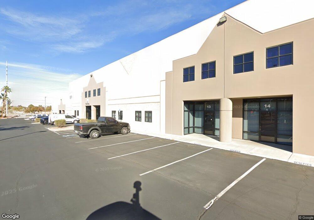
3035 E Patrick Ln Unit 14 Las Vegas, NV 89120
Paradise Valley East Neighborhood
--
Bed
--
Bath
39,902
Sq Ft
3.01
Acres
About This Home
This home is located at 3035 E Patrick Ln Unit 14, Las Vegas, NV 89120. 3035 E Patrick Ln Unit 14 is a home located in Clark County with nearby schools including Doris French Elementary School, Helen C. Cannon Junior High School, and Del Sol Academy of the Performing Arts.
Ownership History
Date
Name
Owned For
Owner Type
Purchase Details
Closed on
Aug 16, 2002
Sold by
Patrick Partners
Bought by
Patrick Airport Business Center Llc
Purchase Details
Closed on
Jan 13, 1999
Sold by
Cannavo Joseph and Cannavo Susan
Bought by
El Durango Llc
Create a Home Valuation Report for This Property
The Home Valuation Report is an in-depth analysis detailing your home's value as well as a comparison with similar homes in the area
Home Values in the Area
Average Home Value in this Area
Purchase History
| Date | Buyer | Sale Price | Title Company |
|---|---|---|---|
| Patrick Airport Business Center Llc | $9,415,000 | Fidelity National Title | |
| El Durango Llc | $185,500 | Land Title |
Source: Public Records
Tax History Compared to Growth
Tax History
| Year | Tax Paid | Tax Assessment Tax Assessment Total Assessment is a certain percentage of the fair market value that is determined by local assessors to be the total taxable value of land and additions on the property. | Land | Improvement |
|---|---|---|---|---|
| 2025 | $29,276 | $1,319,176 | $642,468 | $676,707 |
| 2024 | $27,108 | $1,319,176 | $642,468 | $676,707 |
| 2023 | $27,108 | $1,006,137 | $367,125 | $639,012 |
| 2022 | $25,101 | $908,837 | $321,234 | $587,603 |
| 2021 | $23,242 | $859,934 | $298,289 | $561,645 |
| 2020 | $21,577 | $836,097 | $275,344 | $560,753 |
| 2019 | $20,222 | $831,211 | $275,344 | $555,867 |
| 2018 | $19,296 | $828,112 | $275,344 | $552,768 |
| 2017 | $24,019 | $818,990 | $252,398 | $566,592 |
| 2016 | $18,051 | $700,104 | $206,508 | $493,596 |
| 2015 | $18,025 | $616,521 | $206,508 | $410,013 |
| 2014 | $17,465 | $577,808 | $206,508 | $371,300 |
Source: Public Records
Map
Nearby Homes
- 3220 E Patrick Ln
- 0 Patrick Topaz
- 3096 Shadowridge Ave
- 3170 Shadow Bluff Ave
- 3156 Shadowridge Ave
- 2818 E Quail Ave
- 3212 Shadow Bluff Ave
- 2755 E Russell Rd
- 2995 E Sunset Rd Unit 237
- 2995 E Sunset Rd Unit 209
- 2625 E Russell Rd
- 2885 Horseshoe Dr
- 5611 Fire Island Dr
- 3425 E Russell Rd Unit 202
- 3425 E Russell Rd Unit 164
- 3425 E Russell Rd Unit 220
- 3425 E Russell Rd Unit 139
- 3425 E Russell Rd Unit 265
- 3425 E Russell Rd Unit 161
- 6755 Agave Azul Ct
- 6082 Mcleod Dr
- 6216 Mcleod Dr
- 6060 Mcleod Dr
- 6010 Mcleod Dr
- 3210 E Patrick Ln
- 5960 Mcleod Dr
- 3242 E Patrick Ln
- 3294 E Patrick Ln
- 6061 Topaz St
- 5887 Little Cove Ct
- 2990 E Oquendo Rd
- 6392 Mcleod Dr Unit 6
- 5888 Little Cove Ct
- 3098 E Oquendo Rd
- 3114 E Oquendo Rd
- 2924 E Oquendo Rd
- 3130 E Oquendo Rd
- 5875 Little Cove Ct
- 2860 E Oquendo Rd
- 5876 Little Cove Ct