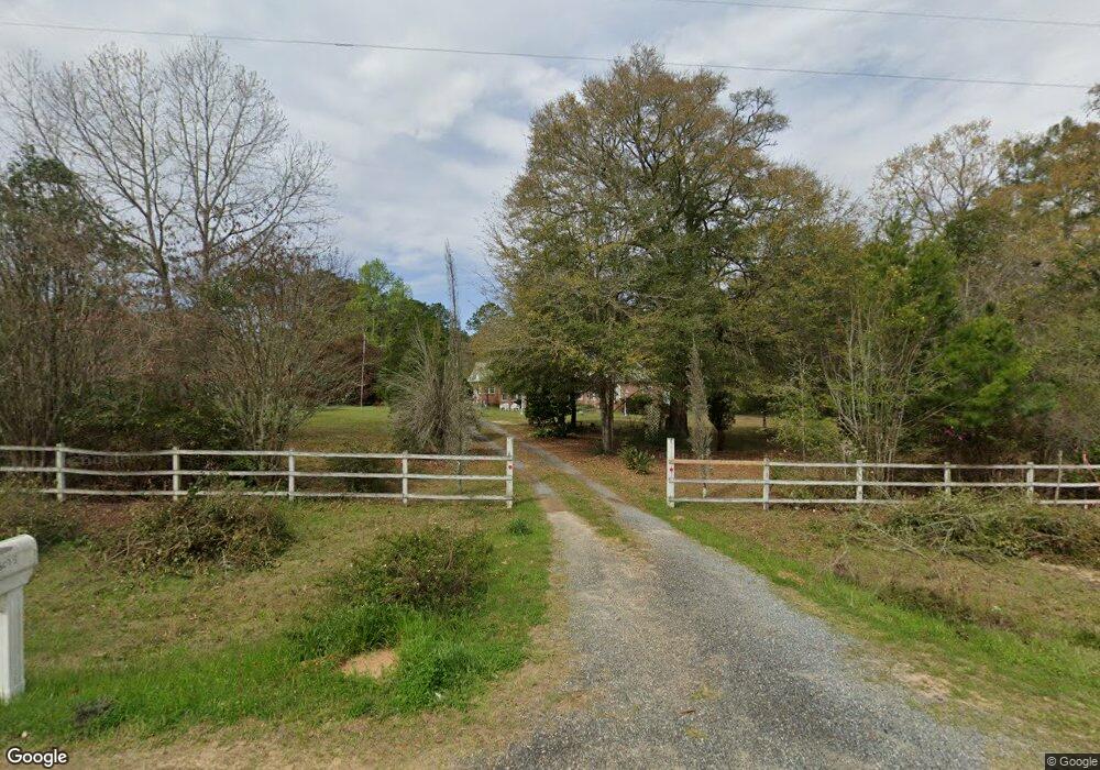
3035 Highway 602 Laurel Hill, FL 32567
Estimated Value: $372,610 - $460,000
3
Beds
3
Baths
2,797
Sq Ft
$155/Sq Ft
Est. Value
About This Home
This home is located at 3035 Highway 602, Laurel Hill, FL 32567 and is currently estimated at $432,903, approximately $154 per square foot. 3035 Highway 602 is a home located in Okaloosa County with nearby schools including Laurel Hill School.
Ownership History
Date
Name
Owned For
Owner Type
Purchase Details
Closed on
Feb 22, 2013
Sold by
Swinton Barbara and Swinton Tommy
Bought by
Matthews John A and Matthews Etta T
Current Estimated Value
Create a Home Valuation Report for This Property
The Home Valuation Report is an in-depth analysis detailing your home's value as well as a comparison with similar homes in the area
Home Values in the Area
Average Home Value in this Area
Purchase History
| Date | Buyer | Sale Price | Title Company |
|---|---|---|---|
| Matthews John A | -- | None Available |
Source: Public Records
Tax History Compared to Growth
Tax History
| Year | Tax Paid | Tax Assessment Tax Assessment Total Assessment is a certain percentage of the fair market value that is determined by local assessors to be the total taxable value of land and additions on the property. | Land | Improvement |
|---|---|---|---|---|
| 2024 | $1,062 | $143,766 | -- | -- |
| 2023 | $1,062 | $139,579 | $0 | $0 |
| 2022 | $1,029 | $135,514 | $0 | $0 |
| 2021 | $1,022 | $131,567 | $0 | $0 |
| 2020 | $1,008 | $129,750 | $0 | $0 |
| 2019 | $995 | $126,833 | $0 | $0 |
| 2018 | $980 | $124,468 | $0 | $0 |
| 2017 | $970 | $121,908 | $0 | $0 |
| 2016 | $943 | $119,401 | $0 | $0 |
| 2015 | $964 | $118,571 | $0 | $0 |
| 2014 | $965 | $117,630 | $0 | $0 |
Source: Public Records
Map
Nearby Homes
- 6.12 AC Clary Rd
- 3183 Highway 602 Unit 73+/- AC
- 0 Newton Rd Unit 967796
- TBD Newton Rd
- Parcel B Yellow River Baptist Church Rd
- Parcel B&C Yellow River Baptist Church Rd
- Parcel C Yellow River Baptist Church Rd
- Parcel A Yellow River Baptist Church Rd Unit 22 AC+/-
- 79 Acres Bucking Up Rd
- 13 Acres Jack Rd
- 3501 Plympton Rd
- 0 Moores Mill Creek Rd
- 8185 Creston Barrow Rd
- 8175 Shooter Ln
- 8180 Shooter Ln
- 3611 Earl Campbell Rd
- 3714 Earl Campbell Rd
- 7350 Allen Rd
- 8645 Moores Mill Creek Unit LotWP001
- A and B Millside Road Parcel A & B
- 3034 Highway 602
- 3017 Highway 602
- 3022 Highway 602
- 3028 Highway 602
- 3047 Highway 602
- 3016 Highway 602
- 3065 Highway 602
- 3088 Highway 602 Unit Parcel 9
- 3088 Highway 602
- 3104 Corey Rd
- 3055 Co Rd 602
- 5.23 AC Ries Rd
- 3106 Ries Rd
- 3077 Highway 602
- 3077 Highway 602
- 3131 Ries Rd
- 2931 Highway 602
- 2929 Highway 602
- 7834 Deana Ln
- 3168 Highway 602