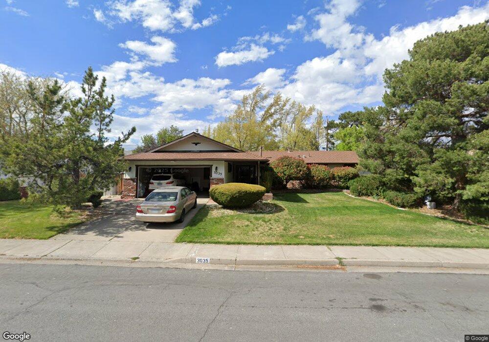
3035 Rowland Rd Reno, NV 89509
Mayberry NeighborhoodEstimated Value: $643,000 - $681,000
3
Beds
2
Baths
1,761
Sq Ft
$374/Sq Ft
Est. Value
About This Home
This home is located at 3035 Rowland Rd, Reno, NV 89509 and is currently estimated at $658,786, approximately $374 per square foot. 3035 Rowland Rd is a home located in Washoe County with nearby schools including Roy Gomm Elementary School, Darrell C Swope Middle School, and Reno High School.
Ownership History
Date
Name
Owned For
Owner Type
Purchase Details
Closed on
Dec 19, 2007
Sold by
Covert Jody L
Bought by
Manning Linda
Current Estimated Value
Home Financials for this Owner
Home Financials are based on the most recent Mortgage that was taken out on this home.
Original Mortgage
$241,000
Outstanding Balance
$151,752
Interest Rate
6.2%
Mortgage Type
Unknown
Estimated Equity
$507,034
Purchase Details
Closed on
May 17, 2006
Sold by
Burau Douglas L
Bought by
Burau Douglas L and Covert Jody L
Purchase Details
Closed on
May 5, 2006
Sold by
Burau Scott L
Bought by
Burau Douglas L
Purchase Details
Closed on
Feb 16, 2006
Sold by
Burau Douglas L
Bought by
Burau Scott L and The Douglas L Burau 2006 Trust
Create a Home Valuation Report for This Property
The Home Valuation Report is an in-depth analysis detailing your home's value as well as a comparison with similar homes in the area
Home Values in the Area
Average Home Value in this Area
Purchase History
| Date | Buyer | Sale Price | Title Company |
|---|---|---|---|
| Manning Linda | $310,000 | Stewart Title Reno | |
| Burau Douglas L | -- | None Available | |
| Burau Douglas L | -- | None Available | |
| Burau Scott L | -- | None Available |
Source: Public Records
Mortgage History
| Date | Status | Borrower | Loan Amount |
|---|---|---|---|
| Open | Manning Linda | $241,000 |
Source: Public Records
Tax History Compared to Growth
Tax History
| Year | Tax Paid | Tax Assessment Tax Assessment Total Assessment is a certain percentage of the fair market value that is determined by local assessors to be the total taxable value of land and additions on the property. | Land | Improvement |
|---|---|---|---|---|
| 2025 | $1,538 | $82,722 | $54,215 | $28,507 |
| 2024 | $1,495 | $80,582 | $52,465 | $28,117 |
| 2023 | $1,495 | $77,937 | $51,940 | $25,997 |
| 2022 | $1,452 | $66,551 | $45,360 | $21,191 |
| 2021 | $1,410 | $52,156 | $31,500 | $20,656 |
| 2020 | $1,370 | $51,423 | $31,150 | $20,273 |
| 2019 | $1,328 | $46,792 | $27,615 | $19,177 |
| 2018 | $1,286 | $39,099 | $20,685 | $18,414 |
| 2017 | $1,251 | $39,858 | $20,685 | $19,173 |
| 2016 | $1,220 | $37,967 | $17,745 | $20,222 |
| 2015 | $1,219 | $34,606 | $13,685 | $20,921 |
| 2014 | $1,183 | $32,930 | $12,110 | $20,820 |
| 2013 | -- | $30,925 | $9,835 | $21,090 |
Source: Public Records
Map
Nearby Homes
- 1104 Ryegrass Ct
- 1460 Shewmaker Ct
- 3274 Alum Creek Ct
- 4184 Del Curto Dr
- 4180 Del Curto Dr
- 4090 Goodsell Ln
- 3495 W Plumb Ln
- 4000 Goodsell Ln
- 3323 Spring Creek Cir
- 4060 Goodsell Ln
- 1905 Von Way
- 3945 San Donato Loop
- 615 Shamrock Ln
- 2024 Regent St
- 1755 Benjamin Franklin Dr
- 3990 San Donato Loop
- 2085 La Fond Dr
- 605 E Riverview Cir
- 2095 La Fond Dr
- 940 Skyway Dr
- 3001 Rowland Rd
- 3001 Rowland Rd
- 2350 Balsam St
- 2300 Balsam St
- 2390 Balsam St
- 3040 Rowland Rd
- 1201 Joshua Dr
- 3085 Rowland Rd
- 3070 Rowland Rd
- 2410 Balsam St
- 1190 Joshua Dr
- 3055 Knight Rd
- 3090 Rowland Rd
- 2550 Balsam St
- 1090 Sumac St
- 1100 Joshua Dr
- 1295 Joshua Dr
- 3095 Knight Rd
- 2301 Balsam St
- 1120 Riverberry Dr