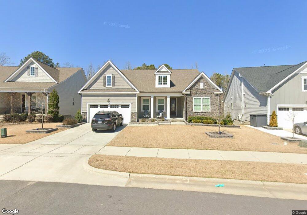
3036 Mavisbank Cir Unit 259 Apex, NC 27502
Friendship NeighborhoodEstimated Value: $891,935 - $993,000
4
Beds
4
Baths
3,975
Sq Ft
$234/Sq Ft
Est. Value
About This Home
This home is located at 3036 Mavisbank Cir Unit 259, Apex, NC 27502 and is currently estimated at $931,234, approximately $234 per square foot. 3036 Mavisbank Cir Unit 259 is a home located in Wake County with nearby schools including Apex Friendship Elementary, Apex Friendship Middle School, and Apex Friendship High School.
Ownership History
Date
Name
Owned For
Owner Type
Purchase Details
Closed on
Apr 8, 2021
Sold by
Martin Peter and Martin Deborah
Bought by
Martin Peter F and Martin Deborah Weitzen
Current Estimated Value
Purchase Details
Closed on
Jan 15, 2021
Sold by
Calatlantic Group Inc
Bought by
Martin Peter
Home Financials for this Owner
Home Financials are based on the most recent Mortgage that was taken out on this home.
Original Mortgage
$488,000
Outstanding Balance
$435,542
Interest Rate
2.71%
Mortgage Type
New Conventional
Estimated Equity
$495,692
Create a Home Valuation Report for This Property
The Home Valuation Report is an in-depth analysis detailing your home's value as well as a comparison with similar homes in the area
Home Values in the Area
Average Home Value in this Area
Purchase History
| Date | Buyer | Sale Price | Title Company |
|---|---|---|---|
| Martin Peter F | -- | None Available | |
| Martin Peter | $610,000 | Lennar Title Llc |
Source: Public Records
Mortgage History
| Date | Status | Borrower | Loan Amount |
|---|---|---|---|
| Open | Martin Peter | $488,000 |
Source: Public Records
Tax History Compared to Growth
Tax History
| Year | Tax Paid | Tax Assessment Tax Assessment Total Assessment is a certain percentage of the fair market value that is determined by local assessors to be the total taxable value of land and additions on the property. | Land | Improvement |
|---|---|---|---|---|
| 2025 | $5,910 | $810,081 | $145,000 | $665,081 |
| 2024 | $6,934 | $810,081 | $145,000 | $665,081 |
| 2023 | $6,049 | $549,585 | $80,000 | $469,585 |
| 2022 | $5,494 | $531,670 | $80,000 | $451,670 |
| 2021 | $5,284 | $531,670 | $80,000 | $451,670 |
| 2020 | $784 | $80,000 | $80,000 | $0 |
Source: Public Records
Map
Nearby Homes
- 3112 Mavisbank Cir
- 3138 Curling Creek Dr
- 1913 Stanlake Dr
- 1608 Kythira Dr
- 3156 Curling Creek Dr
- 2842 Lemnos Dr
- 2966 Lemnos Dr
- 610 Cable Ct
- 616 Cable Ct
- 2010 Song Breeze Ln
- 0-0 Mount Zion Church Rd
- 0 Mount Zion Church Rd
- 2701 Sugar Mountain Way
- 2857 Farmhouse Dr
- 2853 Farmhouse Dr
- 2851 Farmhouse Dr
- 2837 Farmhouse Dr
- 2835 Farmhouse Dr
- 2829 Farmhouse Dr
- 2805 Farmhouse Dr
- 3032 Mavisbank Cir
- 3040 Mavisbank Cir Unit D258
- 3044 Mavisbank Cir
- 3031 Mavisbank Cir
- 3031 Mavisbank Cir Unit D343
- 3039 Mavisbank Cir Unit D344
- 3048 Mavisbank Cir Unit D256
- 3045 Mavisbank Cir Unit D345
- 3052 Mavisbank Cir
- 3053 Mavisbank Cir
- 3020 Mavisbank Cir Unit 261
- 3015 Mavisbank Cir Unit D342
- 3057 Mavisbank Cir Unit D347
- 3004 Ossian Ln
- 3016 Mavisbank Cir Unit D262
- 3004 Ossian Ln Unit D253
- 3061 Mavisbank Cir
- 3001 Ossian Ln
- 3004 Ossian Ln
- 3004 Ossian Ln Unit D253