30360 Joe Boring Rd Langsville, OH 45741
Estimated Value: $145,000
1
Bed
1
Bath
1,566
Sq Ft
$93/Sq Ft
Est. Value
About This Home
This home is located at 30360 Joe Boring Rd, Langsville, OH 45741 and is currently estimated at $145,000, approximately $92 per square foot. 30360 Joe Boring Rd is a home located in Meigs County with nearby schools including Meigs Primary School, Meigs Intermediate School, and Meigs Middle School.
Ownership History
Date
Name
Owned For
Owner Type
Purchase Details
Closed on
Jul 13, 2023
Sold by
Lockhart Jason
Bought by
Lockhart Manda
Current Estimated Value
Purchase Details
Closed on
Feb 8, 2021
Sold by
Thornton Minnie L and Thornton William L
Bought by
Lockhart Manda and Lockhart Jason
Purchase Details
Closed on
Jun 3, 2020
Sold by
Thornton William L and Thornton Minnie R
Bought by
Mills Darlene L and Mills Frank W
Purchase Details
Closed on
Feb 25, 2000
Bought by
Thornton Minnie L Trustees Thornton Will
Create a Home Valuation Report for This Property
The Home Valuation Report is an in-depth analysis detailing your home's value as well as a comparison with similar homes in the area
Home Values in the Area
Average Home Value in this Area
Purchase History
| Date | Buyer | Sale Price | Title Company |
|---|---|---|---|
| Lockhart Manda | -- | None Listed On Document | |
| Lockhart Manda | -- | None Listed On Document | |
| Lockhart Manda | $50,000 | None Available | |
| Mills Darlene L | -- | None Available | |
| Mills Darlene L | -- | None Available | |
| Thornton Minnie L Trustees Thornton Will | -- | -- |
Source: Public Records
Tax History Compared to Growth
Tax History
| Year | Tax Paid | Tax Assessment Tax Assessment Total Assessment is a certain percentage of the fair market value that is determined by local assessors to be the total taxable value of land and additions on the property. | Land | Improvement |
|---|---|---|---|---|
| 2024 | $561 | $17,420 | $9,800 | $7,620 |
| 2023 | $561 | $17,420 | $9,800 | $7,620 |
| 2022 | $595 | $17,420 | $9,800 | $7,620 |
| 2021 | $475 | $20,460 | $8,130 | $12,330 |
| 2020 | $436 | $20,460 | $8,130 | $12,330 |
| 2019 | $713 | $28,040 | $15,640 | $12,400 |
| 2018 | $571 | $24,330 | $11,930 | $12,400 |
| 2017 | $571 | $24,330 | $11,930 | $12,400 |
| 2016 | $565 | $24,330 | $11,930 | $12,400 |
| 2014 | $375 | $21,350 | $11,340 | $10,010 |
| 2013 | $375 | $21,350 | $11,340 | $10,010 |
Source: Public Records
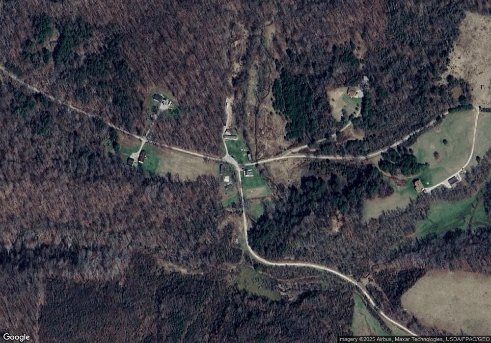
Map
Nearby Homes
- 30285 Briar Ridge Rd
- 30284 Briar Ridge Rd
- 30286 Briar Ridge Rd
- 31166 Edmundson Rd
- 0 Briar Ridge Rd Unit 11566708
- 0 Briar Ridge Rd Unit 24580050
- 0 Briar Ridge Rd Unit 24580053
- 32325 Red Hill Rd Unit (SeclusionCabin at B
- 31428 Will Vance Rd
- 0 Will Vance Rd Unit 23777611
- 0 Red Hill Rd Unit 25653294
- 0 Red Hill Rd Unit 11594354
- 0 Edmundson Rd Unit (Tract 5 at Big Timb
- 0 Edmundson Rd Unit (Tract 2 at Big Timb
- 0 Edmundson Rd Unit (Tract 6 at Big Timb
- 0 Edmundson Rd Unit 23463048
- 0 Edmundson Rd Unit 2429533
- 0 Edmundson Rd Unit 23607169
- 0 Edmundson Rd Unit 25511220
- 28033 State Route 124
- 29560 Sanford Davis Rd
- 30305 Joe Boring Rd
- 29554 Sanford Davis Rd
- 29996 Sanford Davis Rd
- 29727 Briar Ridge Rd
- 30854 State Route 325
- 29757 Briar Ridge Rd
- 30920 State Route 325
- 30848 State Route 325
- 3064 Morgan Ln
- 30976 State Route 325
- 30976 State Route 325
- 30982 State Route 325
- 3124 Morgan Ln
- 29673 Briar Ridge Rd
- 30986 State Route 325
- 30996 State Route 325
- 29645 Briar Ridge Rd
- 31004 State Route 325
- 31015 State Route 325