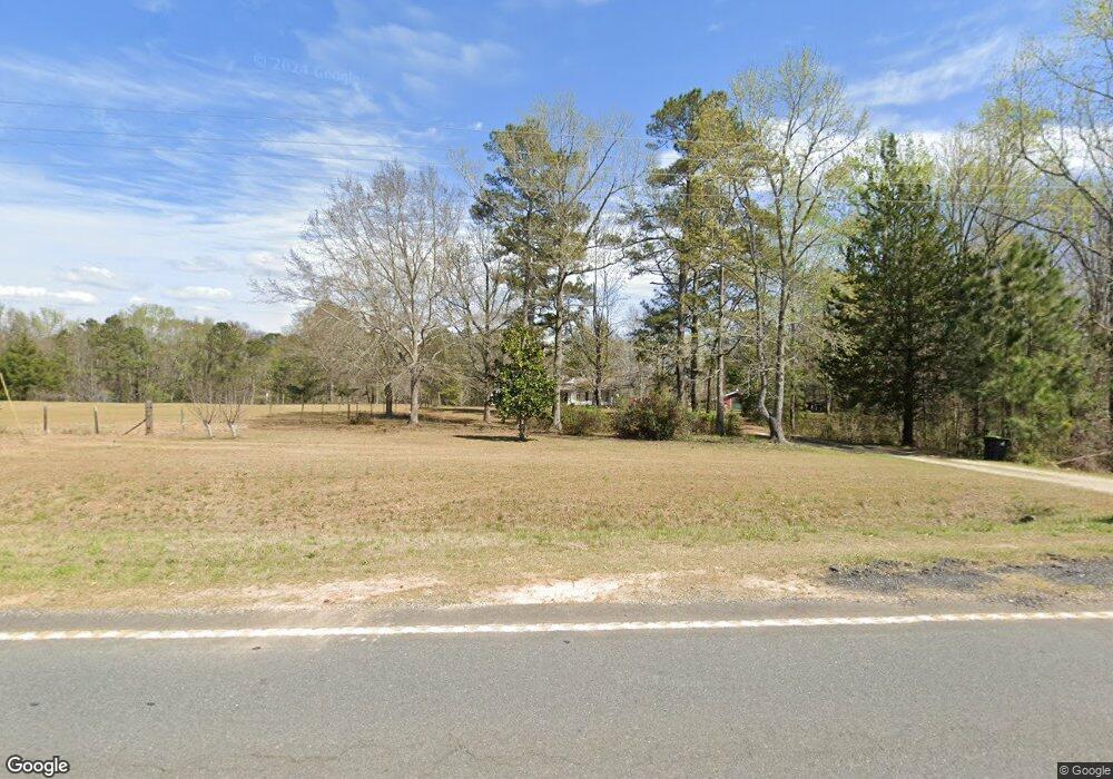
3037 Geneva Hwy Talbotton, GA 31827
Estimated Value: $193,000 - $481,000
3
Beds
2
Baths
2,240
Sq Ft
$140/Sq Ft
Est. Value
About This Home
This home is located at 3037 Geneva Hwy, Talbotton, GA 31827 and is currently estimated at $313,447, approximately $139 per square foot. 3037 Geneva Hwy is a home located in Talbot County with nearby schools including Central School.
Ownership History
Date
Name
Owned For
Owner Type
Purchase Details
Closed on
Feb 24, 2014
Sold by
Sec Of Housing & U
Bought by
Trussell Donna L
Current Estimated Value
Purchase Details
Closed on
Oct 2, 2012
Sold by
Bank Of America
Bought by
Sec Of Housing & Urban
Purchase Details
Closed on
Jul 8, 2003
Sold by
Kennon Realty
Bought by
Russell Michael D and Russell Rebecca A
Purchase Details
Closed on
May 6, 2003
Sold by
Macdougall Stewart F
Bought by
Kennon Realty
Purchase Details
Closed on
Mar 24, 1994
Bought by
Macdougall Stewart F
Purchase Details
Closed on
Jan 1, 1984
Bought by
Slay
Purchase Details
Closed on
Jan 1, 1977
Bought by
Previous
Create a Home Valuation Report for This Property
The Home Valuation Report is an in-depth analysis detailing your home's value as well as a comparison with similar homes in the area
Home Values in the Area
Average Home Value in this Area
Purchase History
| Date | Buyer | Sale Price | Title Company |
|---|---|---|---|
| Trussell Donna L | $76,000 | -- | |
| Sec Of Housing & Urban | $205,030 | -- | |
| Russell Michael D | $135,000 | -- | |
| Kennon Realty | $100,000 | -- | |
| Macdougall Stewart F | $90,000 | -- | |
| Slay | $73,000 | -- | |
| Previous | $3,800 | -- |
Source: Public Records
Tax History Compared to Growth
Tax History
| Year | Tax Paid | Tax Assessment Tax Assessment Total Assessment is a certain percentage of the fair market value that is determined by local assessors to be the total taxable value of land and additions on the property. | Land | Improvement |
|---|---|---|---|---|
| 2024 | $1,664 | $60,655 | $17,841 | $42,814 |
| 2023 | $1,428 | $53,291 | $17,322 | $35,969 |
| 2022 | $1,686 | $54,739 | $17,322 | $37,417 |
| 2021 | $1,377 | $52,936 | $15,062 | $37,874 |
| 2020 | $1,283 | $49,351 | $15,062 | $34,289 |
| 2019 | $1,285 | $49,549 | $15,062 | $34,487 |
| 2018 | $1,492 | $49,549 | $15,062 | $34,487 |
| 2017 | $1,276 | $49,549 | $15,062 | $34,487 |
| 2016 | $1,226 | $47,831 | $15,062 | $32,769 |
| 2015 | -- | $59,636 | $21,392 | $38,244 |
| 2013 | -- | $45,755 | $9,200 | $36,555 |
Source: Public Records
Map
Nearby Homes
- 202 S Taylor Rd
- TRACT 2 Dennis Creek Rd
- 0 Dennis Creek Rd Unit 158992
- 0 Dennis Creek Rd Unit 10436697
- 0 Dennis Creek Rd Unit 158990
- 0 Dennis Creek Rd Unit 25773371
- 0 Dennis Creek Rd Unit 22338064
- 0 Dennis Creek Rd Unit 22337227
- 281 Madison St
- 0 Hwy 80 Unit 10638578
- 00Lot3 Mountain Ridge Dr
- 00Lot4 Mountain Ridge Dr
- Tract 2 Dennis Creek Rd
- 0 Dennis Creek Rd
- 296 N Washington Ave
- 809 George W Towns Rd
- 1049 Kelly Rd
- 0 None Unit 10568679
- 0 None Unit 180598
- 0 None Unit 7619295