3039 Augusta Hwy Unit A Dearing, GA 30808
Estimated Value: $110,352 - $273,000
--
Bed
--
Bath
1,344
Sq Ft
$134/Sq Ft
Est. Value
About This Home
This home is located at 3039 Augusta Hwy Unit A, Dearing, GA 30808 and is currently estimated at $179,588, approximately $133 per square foot. 3039 Augusta Hwy Unit A is a home located in McDuffie County with nearby schools including Thomson High School.
Ownership History
Date
Name
Owned For
Owner Type
Purchase Details
Closed on
Jul 31, 2006
Sold by
Carroll David B
Bought by
Brown Timothy B
Current Estimated Value
Purchase Details
Closed on
Oct 8, 2004
Sold by
Dempsey Cynthia J
Bought by
Dempsey Cynthia J
Purchase Details
Closed on
Jan 21, 2003
Sold by
Smith Gloria Jean
Bought by
Dempsey Cynthia J
Purchase Details
Closed on
Aug 14, 1997
Sold by
Hornyak Edith C
Bought by
Smith Gloria Jean
Purchase Details
Closed on
Apr 15, 1977
Bought by
Hornyak Edith C
Create a Home Valuation Report for This Property
The Home Valuation Report is an in-depth analysis detailing your home's value as well as a comparison with similar homes in the area
Home Values in the Area
Average Home Value in this Area
Purchase History
| Date | Buyer | Sale Price | Title Company |
|---|---|---|---|
| Brown Timothy B | -- | -- | |
| Brown Timothy B | $145,920 | -- | |
| Dempsey Cynthia J | -- | -- | |
| Dempsey Cynthia J | -- | -- | |
| Smith Gloria Jean | $12,000 | -- | |
| Hornyak Edith C | -- | -- |
Source: Public Records
Tax History Compared to Growth
Tax History
| Year | Tax Paid | Tax Assessment Tax Assessment Total Assessment is a certain percentage of the fair market value that is determined by local assessors to be the total taxable value of land and additions on the property. | Land | Improvement |
|---|---|---|---|---|
| 2024 | $743 | $23,260 | $22,260 | $1,000 |
| 2023 | $776 | $23,260 | $22,260 | $1,000 |
| 2022 | $776 | $3,273 | $0 | $3,273 |
| 2021 | $732 | $22,612 | $21,612 | $1,000 |
| 2020 | $1,870 | $3,015 | $0 | $3,015 |
| 2019 | $1,890 | $2,828 | $0 | $2,828 |
| 2018 | $1,890 | $2,761 | $0 | $2,761 |
| 2017 | $1,824 | $2,849 | $0 | $2,849 |
| 2016 | $67 | $2,680 | $0 | $2,680 |
| 2015 | $787 | $31,413 | $28,882 | $2,531 |
| 2014 | -- | $34,173 | $28,882 | $5,291 |
| 2013 | -- | $0 | $0 | $0 |
Source: Public Records
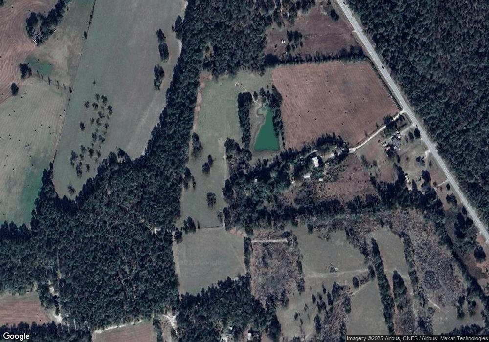
Map
Nearby Homes
- 2522 Ellington Airline Rd
- 3171 Old Augusta Rd
- 3191 Old Augusta Rd
- 0 Mitchner Rd Unit 548843
- 259 S Main St
- 122 First St
- 290 Neals Mill Rd
- 0 Randall Hunt Rd Unit 24088941
- 4327 Iron Hill Rd
- 4099 Randall Hunt Rd
- 1463 Lokey Dr
- 1076 Boneville Rd
- 1086 Boneville Rd
- 4062 Horsham Trail
- 1761 Augusta Hwy
- 789 George McDuffie Rd
- 0 Whitaker Rd Unit 540660
- 0 Liberty St
- 651 Moose Club Rd
- 2786 Tudor Rd
- 2719 Old Augusta Rd
- 3750 Augusta Hwy
- 3594 Augusta Hwy
- 3788 Augusta Hwy
- 3807 Augusta Hwy
- 3788 Old Augusta Hwy
- 3536 Augusta Hwy
- 3849 Augusta Hwy
- 2840 Pine Forest Dr
- 2825 Pine Forest Dr
- 3888 Augusta Hwy
- 3891 Augusta Hwy
- 2816 Pine Forest Dr
- 3901 Augusta Hwy
- 2802 Pine Forest Dr
- 3919 Augusta Hwy
- 3928 Augusta Hwy
- 2795 Pine Forest Dr
- 2917 Augusta Hwy
- 2894 Old Augusta Rd