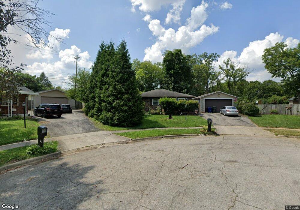
3039 Rivercliff Rd Columbus, OH 43223
Riverbend NeighborhoodEstimated Value: $206,000 - $243,000
3
Beds
1
Bath
1,050
Sq Ft
$219/Sq Ft
Est. Value
About This Home
This home is located at 3039 Rivercliff Rd, Columbus, OH 43223 and is currently estimated at $229,916, approximately $218 per square foot. 3039 Rivercliff Rd is a home located in Franklin County with nearby schools including James A Harmon Elementary School, Franklin Woods Intermediate School, and Finland Middle School.
Ownership History
Date
Name
Owned For
Owner Type
Purchase Details
Closed on
Jun 23, 2000
Sold by
Long Michael E and Long Shiela R
Bought by
Mchenry Joseph E and Mchenry Ainslee M
Current Estimated Value
Home Financials for this Owner
Home Financials are based on the most recent Mortgage that was taken out on this home.
Original Mortgage
$76,950
Outstanding Balance
$29,268
Interest Rate
10%
Estimated Equity
$200,648
Purchase Details
Closed on
Nov 24, 1986
Bought by
Long Michael E
Create a Home Valuation Report for This Property
The Home Valuation Report is an in-depth analysis detailing your home's value as well as a comparison with similar homes in the area
Home Values in the Area
Average Home Value in this Area
Purchase History
| Date | Buyer | Sale Price | Title Company |
|---|---|---|---|
| Mchenry Joseph E | $81,000 | Title First Agency Inc | |
| Long Michael E | -- | -- |
Source: Public Records
Mortgage History
| Date | Status | Borrower | Loan Amount |
|---|---|---|---|
| Open | Mchenry Joseph E | $76,950 |
Source: Public Records
Tax History
| Year | Tax Paid | Tax Assessment Tax Assessment Total Assessment is a certain percentage of the fair market value that is determined by local assessors to be the total taxable value of land and additions on the property. | Land | Improvement |
|---|---|---|---|---|
| 2025 | $2,869 | $78,690 | $18,520 | $60,170 |
| 2024 | $2,869 | $78,690 | $18,520 | $60,170 |
| 2023 | $2,818 | $78,680 | $18,515 | $60,165 |
| 2022 | $2,354 | $48,230 | $8,400 | $39,830 |
| 2021 | $2,401 | $48,230 | $8,400 | $39,830 |
| 2020 | $2,388 | $48,230 | $8,400 | $39,830 |
| 2019 | $2,229 | $39,730 | $7,000 | $32,730 |
| 2018 | $1,944 | $39,730 | $7,000 | $32,730 |
| 2017 | $2,007 | $39,730 | $7,000 | $32,730 |
| 2016 | $1,807 | $29,860 | $5,360 | $24,500 |
| 2015 | $1,669 | $27,590 | $5,360 | $22,230 |
| 2014 | $1,671 | $27,590 | $5,360 | $22,230 |
| 2013 | $921 | $30,660 | $5,950 | $24,710 |
Source: Public Records
Map
Nearby Homes
- 2112 Sondra Ln
- 3116 Musket Ridge Dr
- 0 Glencreek Rd
- 2255 Harrisburg Pike
- 1638 Tall Meadows Dr
- 2103 Keller Place W
- 1605 Greenville Rd
- 3407 Western Hill Rd
- 1657 Ripplebrook Rd
- 2500 Harrisburg Pike Unit Lot 8
- 2937 Rundell Dr
- 2430 Chateau St
- 1722 Hollow Run Dr
- 1360 Hafton Woods Dr
- 2856 Chesfield Dr
- 2870 Chesfield Dr
- 2364 Nedra St
- 1335 Hafton Woods Dr
- 2436 Onyx Ct
- 2407 Bluff Run Dr
- 3035 Rivercliff Rd
- 3040 Rivercliff Rd
- 3027 Rivercliff Rd
- 3032 Rivercliff Rd
- 2104 Sondra Ln
- 2726 Alkire Rd
- 2096 Sondra Ln
- 2120 Sondra Ln
- 3019 Rivercliff Rd
- 2088 Sondra Ln
- 2088 Sondra Ln Unit 115
- 3020 Rivercliff Rd
- 1831 Creekside Dr
- 1831 Creekside Dr Unit ROCK
- 2128 Sondra Ln
- 2128 Sondra Ln Unit 1
- 2080 Sondra Ln
- 1823 Creekside Dr
- 2072 Sondra Ln
- 1815 Creekside Dr
Your Personal Tour Guide
Ask me questions while you tour the home.