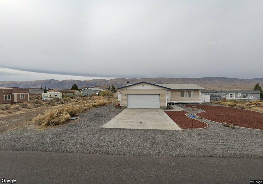
304 Airport Way N Mattawa, WA 99349
Estimated Value: $396,000 - $549,014
3
Beds
2
Baths
1,344
Sq Ft
$353/Sq Ft
Est. Value
About This Home
This home is located at 304 Airport Way N, Mattawa, WA 99349 and is currently estimated at $474,754, approximately $353 per square foot. 304 Airport Way N is a home located in Grant County with nearby schools including Wahluke High School.
Ownership History
Date
Name
Owned For
Owner Type
Purchase Details
Closed on
Oct 26, 2017
Sold by
Gallacci Jeffrey S and Gallacci Mary J
Bought by
Hogan Lisa and Rider Michael
Current Estimated Value
Home Financials for this Owner
Home Financials are based on the most recent Mortgage that was taken out on this home.
Original Mortgage
$172,800
Outstanding Balance
$144,028
Interest Rate
3.83%
Mortgage Type
New Conventional
Estimated Equity
$330,726
Create a Home Valuation Report for This Property
The Home Valuation Report is an in-depth analysis detailing your home's value as well as a comparison with similar homes in the area
Home Values in the Area
Average Home Value in this Area
Purchase History
| Date | Buyer | Sale Price | Title Company |
|---|---|---|---|
| Hogan Lisa | $191,966 | Chicago Title |
Source: Public Records
Mortgage History
| Date | Status | Borrower | Loan Amount |
|---|---|---|---|
| Open | Hogan Lisa | $172,800 |
Source: Public Records
Tax History Compared to Growth
Tax History
| Year | Tax Paid | Tax Assessment Tax Assessment Total Assessment is a certain percentage of the fair market value that is determined by local assessors to be the total taxable value of land and additions on the property. | Land | Improvement |
|---|---|---|---|---|
| 2025 | $2,937 | $300,041 | -- | -- |
| 2024 | $2,593 | $269,775 | $68,000 | $201,775 |
| 2023 | $2,523 | $236,955 | $30,000 | $206,955 |
| 2022 | $2,548 | $236,955 | $30,000 | $206,955 |
| 2021 | $2,111 | $236,955 | $30,000 | $206,955 |
| 2020 | $1,985 | $189,745 | $30,000 | $159,745 |
| 2019 | $1,890 | $161,725 | $25,000 | $136,725 |
| 2018 | $2,090 | $162,815 | $25,000 | $137,815 |
| 2017 | $1,753 | $145,585 | $25,000 | $120,585 |
| 2016 | $1,675 | $139,435 | $20,000 | $119,435 |
| 2013 | -- | $145,760 | $25,000 | $120,760 |
Source: Public Records
Map
Nearby Homes
- 509B Clubhouse Way Unit A
- 113 Airport Way N Unit 3
- 207 Clayton Place SW
- 206 Moon River View
- 208 Moon River View SW
- 206 Cherry Ln W
- 204 Cherry Ln W
- 894 Desert Aire Dr SW
- 447 Airport Way SW
- 412 Apple Place SW
- 449 Airport Way SW
- 101 Wren Loop
- 851 Desert Aire Dr SW
- 304 Airport Way SW
- 313 Airport Way SW
- 453 Airport Way SW
- 227 Sunshine Cir S
- 205 Fairway Place S
- 310 Buttercup Ln SW
- 344 Rainbow Place W
- 306 Airport Way N
- 306 Airport Way SW
- 303 Atterberry Dr SW
- 305 Atterbury Way N
- 308 Airport Way N
- 308 Airport Way SW
- 220 Airport Way SW
- 305 Airport Way N
- 301 Airport Way SW Unit 20
- 301 Airport Way N
- 206 Atterberry Dr
- 206 Atterberry Dr Unit 48
- 305 Airport Way SW
- 307 Airport Way N
- 218 Airport Way SW
- 221 Airport Way N
- 307 Airport Way SW
- 443 Airport Way
- 303 Airport Way SW
- 312 Airport Way SW