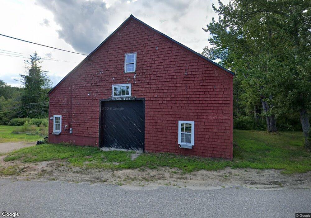
304 Arundel Rd Kennebunkport, ME 04046
Estimated Value: $661,219 - $776,000
3
Beds
1
Bath
1,932
Sq Ft
$368/Sq Ft
Est. Value
About This Home
This home is located at 304 Arundel Rd, Kennebunkport, ME 04046 and is currently estimated at $710,055, approximately $367 per square foot. 304 Arundel Rd is a home located in York County with nearby schools including Kennebunk High School and School Around Us.
Ownership History
Date
Name
Owned For
Owner Type
Purchase Details
Closed on
May 8, 2013
Sold by
Burns Gregory R and Burns Norine C
Bought by
Burns Bridget M
Current Estimated Value
Home Financials for this Owner
Home Financials are based on the most recent Mortgage that was taken out on this home.
Original Mortgage
$182,000
Outstanding Balance
$128,781
Interest Rate
3.6%
Mortgage Type
Purchase Money Mortgage
Estimated Equity
$581,274
Purchase Details
Closed on
Oct 1, 2008
Sold by
Stone Deborah
Bought by
Burns Gregory R and Burns Norine C
Create a Home Valuation Report for This Property
The Home Valuation Report is an in-depth analysis detailing your home's value as well as a comparison with similar homes in the area
Home Values in the Area
Average Home Value in this Area
Purchase History
| Date | Buyer | Sale Price | Title Company |
|---|---|---|---|
| Burns Bridget M | -- | -- | |
| Burns Gregory R | -- | -- |
Source: Public Records
Mortgage History
| Date | Status | Borrower | Loan Amount |
|---|---|---|---|
| Open | Burns Bridget M | $182,000 |
Source: Public Records
Tax History Compared to Growth
Tax History
| Year | Tax Paid | Tax Assessment Tax Assessment Total Assessment is a certain percentage of the fair market value that is determined by local assessors to be the total taxable value of land and additions on the property. | Land | Improvement |
|---|---|---|---|---|
| 2025 | $3,223 | $468,500 | $200,100 | $268,400 |
| 2024 | $3,045 | $468,500 | $200,100 | $268,400 |
| 2023 | $2,928 | $468,500 | $200,100 | $268,400 |
| 2022 | $2,795 | $465,800 | $200,100 | $265,700 |
| 2021 | $2,472 | $257,500 | $104,200 | $153,300 |
| 2020 | $2,433 | $257,500 | $104,200 | $153,300 |
| 2019 | $2,433 | $257,500 | $104,200 | $153,300 |
| 2018 | $2,256 | $257,500 | $104,200 | $153,300 |
| 2017 | $2,240 | $257,500 | $104,200 | $153,300 |
| 2016 | $2,132 | $257,500 | $104,200 | $153,300 |
| 2015 | $1,983 | $257,500 | $104,200 | $153,300 |
| 2014 | $1,965 | $257,500 | $104,200 | $153,300 |
Source: Public Records
Map
Nearby Homes
- 245 Arundel Rd
- 286 Goose Rocks Rd
- 20 Stone Rd
- 0 Oak Ridge Rd
- Lot 11 Prospect Reserve Way
- 11 Acorn Ave
- Lot 9 Prospect Reserve Way
- Lot 5 Prospect Reserve Way
- Lot 1 Prospect Reserve Way
- TBD Arundel Rd
- Lot 4 Prospect Reserve Way
- 0 Cole Benson Rd
- 12 Forest Dr
- 13 Forest Dr
- 2 Forest Dr
- 14 Forest Dr
- Lot 5 Forest Dr
- 9 Forest Dr
- 0 Campbell Ln Unit 1630141
- TBD Log Cabin
- 301 Arundel Rd
- TBA Goose Rocks Rd
- 221 Goose Rocks Rd
- 291 Arundel Rd
- 288 Arundel Rd
- 294 Arundel Rd
- 232 Goose Rocks Rd
- 194 Goose Rocks Rd
- 240 Goose Rocks Rd
- 200 Goose Rocks Rd
- 286 Arundel Rd
- 184 Goose Rocks Rd
- 187 Goose Rocks Rd
- 182 Goose Rocks Rd
- 283 Arundel Rd
- 174 Goose Rocks Rd
- 168 Goose Rocks Rd
- 181 Goose Rocks Rd
- 263 Arundel Rd
- 162 Goose Rocks Rd