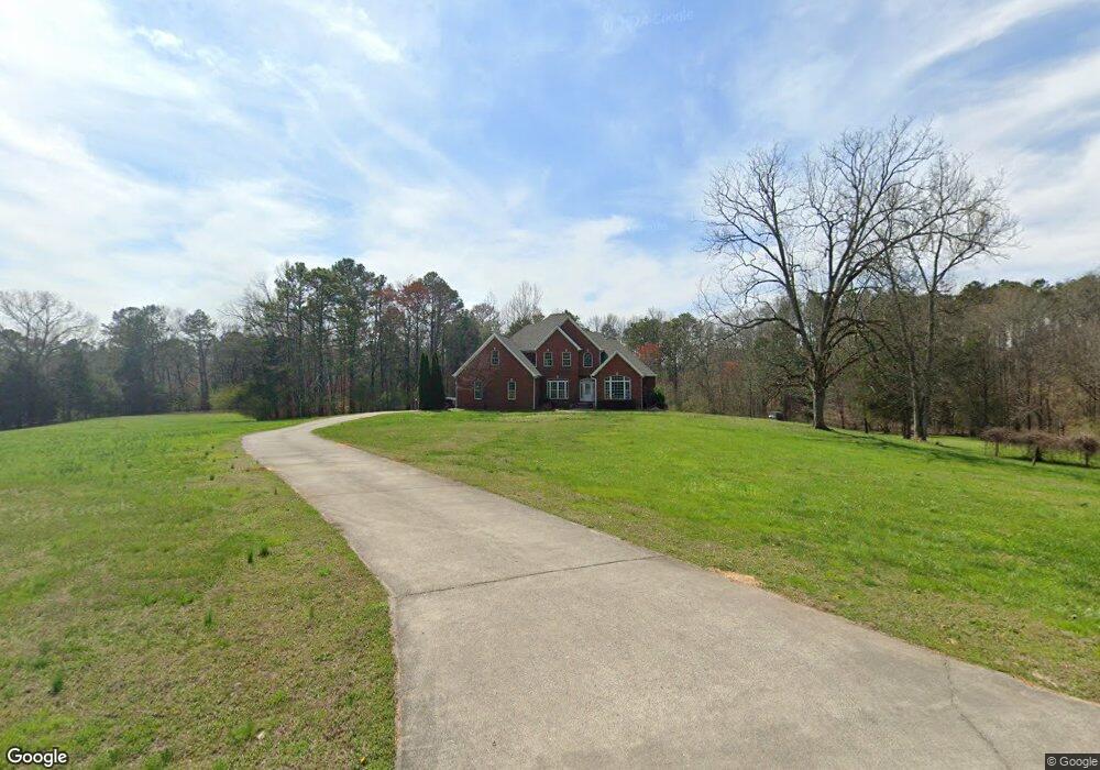
304 Barfield Rd Rock Spring, GA 30739
Rock Spring NeighborhoodEstimated Value: $564,000 - $699,000
Studio
2
Baths
3,882
Sq Ft
$162/Sq Ft
Est. Value
About This Home
This home is located at 304 Barfield Rd, Rock Spring, GA 30739 and is currently estimated at $628,876, approximately $161 per square foot. 304 Barfield Rd is a home located in Walker County with nearby schools including Rock Spring Elementary School and Lafayette High School.
Ownership History
Date
Name
Owned For
Owner Type
Purchase Details
Closed on
Apr 24, 2007
Sold by
Not Provided
Bought by
Glover Greggory L and Sandra Ann
Current Estimated Value
Home Financials for this Owner
Home Financials are based on the most recent Mortgage that was taken out on this home.
Original Mortgage
$220,000
Outstanding Balance
$138,317
Interest Rate
6.11%
Mortgage Type
New Conventional
Estimated Equity
$490,559
Purchase Details
Closed on
Jul 16, 2001
Bought by
Glover Greggory L
Create a Home Valuation Report for This Property
The Home Valuation Report is an in-depth analysis detailing your home's value as well as a comparison with similar homes in the area
Home Values in the Area
Average Home Value in this Area
Purchase History
| Date | Buyer | Sale Price | Title Company |
|---|---|---|---|
| Glover Greggory L | -- | -- | |
| Glover Greggory L | $150,000 | -- |
Source: Public Records
Mortgage History
| Date | Status | Borrower | Loan Amount |
|---|---|---|---|
| Open | Glover Greggory L | $220,000 |
Source: Public Records
Tax History
| Year | Tax Paid | Tax Assessment Tax Assessment Total Assessment is a certain percentage of the fair market value that is determined by local assessors to be the total taxable value of land and additions on the property. | Land | Improvement |
|---|---|---|---|---|
| 2024 | $5,593 | $248,634 | $26,029 | $222,605 |
| 2023 | $5,335 | $231,330 | $20,658 | $210,672 |
| 2022 | $5,116 | $203,498 | $22,640 | $180,858 |
| 2021 | $5,099 | $183,187 | $22,640 | $160,547 |
| 2020 | $4,327 | $147,595 | $22,640 | $124,955 |
| 2019 | $4,371 | $146,293 | $22,640 | $123,653 |
| 2018 | $3,871 | $146,293 | $22,640 | $123,653 |
| 2017 | $4,771 | $146,293 | $22,640 | $123,653 |
| 2016 | $3,710 | $146,293 | $22,640 | $123,653 |
| 2015 | $3,863 | $143,318 | $35,256 | $108,062 |
| 2014 | $3,681 | $143,318 | $35,256 | $108,062 |
| 2013 | -- | $143,318 | $35,256 | $108,062 |
Source: Public Records
Map
Nearby Homes
- 36 Pheonix Cir
- 223 Cooper Rd
- 285 Cooper Rd
- 59 Honeysuckle Dr
- 195 Honeysuckle Dr
- 42 Hope Dr
- 1902 Long Hollow Rd
- 788 Long Hollow Rd
- 1121 Arnold Rd
- 1909 Old Lafayette Rd
- 87 Peavine Rd
- 00 Georgia 95
- 379 N Beaumont Rd
- 1003 Highway N Old 27
- 40 Blessed Way
- 0 Bicentennial Trail Unit 7707994
- 0 Bicentennial Trail Unit 7707991
- 0 Bicentennial Trail Unit 10680206
- 0 Bicentennial Trail Unit 10687168
- 0 Bicentennial Trail Unit 10687173
- 285 Barfield Rd
- 257 Barfield Rd
- 00 Barfield Rd
- 272 Barfield Rd
- 397 Barfield Rd
- 207 Barfield Rd
- 182 Barfield Rd
- 160 Barfield Rd
- 466 Barfield Rd
- 370 Barfield Rd
- 101 Pheonix Cir
- 620 Cooper Rd
- 258 Twelve Oaks Dr
- 234 Twelve Oaks Dr
- 292 Twelve Oaks Dr
- 274 Twelve Oaks Dr
- 100 Pheonix Cir
- 693 Cooper Rd
- 312 Twelve Oaks Dr
- 63 Pheonix Cir
Your Personal Tour Guide
Ask me questions while you tour the home.