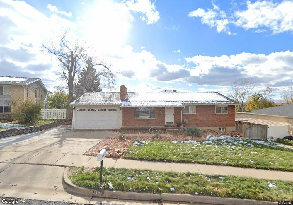
304 Briarwood Dr Centerville, UT 84014
Estimated Value: $515,000 - $594,170
5
Beds
3
Baths
2,500
Sq Ft
$225/Sq Ft
Est. Value
About This Home
This home is located at 304 Briarwood Dr, Centerville, UT 84014 and is currently estimated at $562,293, approximately $224 per square foot. 304 Briarwood Dr is a home located in Davis County with nearby schools including Centerville Elementary, Centerville Jr High, and Viewmont High School.
Ownership History
Date
Name
Owned For
Owner Type
Purchase Details
Closed on
Dec 16, 2010
Sold by
Davis Scott L and Davis Jeni S
Bought by
Davis Jennifer S and Davis Scott L
Current Estimated Value
Home Financials for this Owner
Home Financials are based on the most recent Mortgage that was taken out on this home.
Original Mortgage
$133,400
Outstanding Balance
$1,991
Interest Rate
4.21%
Mortgage Type
New Conventional
Estimated Equity
$560,302
Purchase Details
Closed on
May 22, 2002
Sold by
Anderson Norman D and Anderson Mary B
Bought by
Davis Scott L and Davis Jeni S
Home Financials for this Owner
Home Financials are based on the most recent Mortgage that was taken out on this home.
Original Mortgage
$131,680
Interest Rate
6.89%
Mortgage Type
Purchase Money Mortgage
Create a Home Valuation Report for This Property
The Home Valuation Report is an in-depth analysis detailing your home's value as well as a comparison with similar homes in the area
Home Values in the Area
Average Home Value in this Area
Purchase History
| Date | Buyer | Sale Price | Title Company |
|---|---|---|---|
| Davis Jennifer S | -- | Bonneville Superior Title | |
| Davis Jennifer S | -- | Bonneville Superior Title | |
| Davis Scott L | -- | Aspen Title Insurance Agency | |
| Davis Scott L | -- | Aspen Title Insurance Agency |
Source: Public Records
Mortgage History
| Date | Status | Borrower | Loan Amount |
|---|---|---|---|
| Open | Davis Jennifer S | $133,400 | |
| Closed | Davis Scott L | $131,680 |
Source: Public Records
Tax History Compared to Growth
Tax History
| Year | Tax Paid | Tax Assessment Tax Assessment Total Assessment is a certain percentage of the fair market value that is determined by local assessors to be the total taxable value of land and additions on the property. | Land | Improvement |
|---|---|---|---|---|
| 2025 | $2,898 | $277,200 | $164,837 | $112,363 |
| 2024 | $2,889 | $281,049 | $148,514 | $132,535 |
| 2023 | $2,674 | $258,500 | $133,729 | $124,770 |
| 2022 | $2,824 | $497,000 | $223,400 | $273,600 |
| 2021 | $2,668 | $377,000 | $188,009 | $188,991 |
| 2020 | $2,334 | $327,000 | $183,417 | $143,583 |
| 2019 | $2,249 | $323,000 | $183,140 | $139,860 |
| 2018 | $2,028 | $295,000 | $169,898 | $125,102 |
| 2016 | $1,610 | $130,185 | $57,376 | $72,809 |
| 2015 | $1,587 | $121,000 | $57,376 | $63,624 |
| 2014 | $1,691 | $131,933 | $57,908 | $74,025 |
| 2013 | -- | $121,361 | $44,204 | $77,157 |
Source: Public Records
Map
Nearby Homes
- 67 W Pheasantbrook Dr
- 775 Pheasantbrook Cir
- 171 W 650 N
- 360 E 400 N
- 1285 Nola Dr
- 390 N 400 E
- 295 E 300 N
- 281 W 650 N Unit C
- 781 Pheasantbrook Dr
- 763 Pheasantbrook Dr
- 751 Pheasantbrook Dr
- 271 Brookfield Ln
- 252 N 400 E
- 274 N 100 W
- 232 N 100 W
- 128 W 200 N
- 447 W 620 N Unit 106
- 495 Creek View Rd
- 429 W 1050 N
- 509 Applewood Dr
- 306 Briarwood Dr
- 286 Briarwood Dr
- 338 Briarwood Dr
- 243 Balsam Dr
- 227 Balsam Dr
- 305 Briarwood Dr
- 259 Balsam Dr
- 264 Briarwood Dr
- 352 Briarwood Dr
- 339 Briarwood Dr
- 211 Balsam Dr
- 275 Balsam Dr
- 265 Briarwood Dr
- 242 Briarwood Dr
- 360 Briarwood Dr
- 295 Briarwood Dr
- 355 E 825 N
- 234 Balsam Dr
- 216 E Balsam Dr
- 252 Balsam Dr