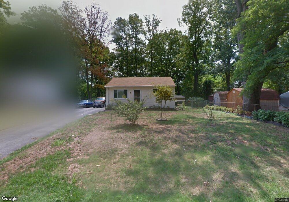
304 Colby Cir Glen Burnie, MD 21060
Estimated Value: $312,000 - $372,000
--
Bed
1
Bath
1,008
Sq Ft
$336/Sq Ft
Est. Value
About This Home
This home is located at 304 Colby Cir, Glen Burnie, MD 21060 and is currently estimated at $339,041, approximately $336 per square foot. 304 Colby Cir is a home located in Anne Arundel County with nearby schools including Marley Elementary School, Marley Middle School, and Glen Burnie High School.
Ownership History
Date
Name
Owned For
Owner Type
Purchase Details
Closed on
Sep 23, 2005
Sold by
Hillis John D
Bought by
Hillis John D and Hillis Marian R
Current Estimated Value
Purchase Details
Closed on
Mar 31, 2003
Sold by
Hatch Richard
Bought by
Hillis John D and Hillis Marian R
Purchase Details
Closed on
Dec 10, 2002
Sold by
Wells Fargo Bank Minnesota Na
Bought by
Hatch Richard
Purchase Details
Closed on
Oct 2, 2002
Sold by
Long John F
Bought by
Wells Fargo Bank Minnesota Na and As Trustee
Purchase Details
Closed on
Feb 15, 2001
Sold by
Long John F
Bought by
Long John F and Long Jeannie M
Create a Home Valuation Report for This Property
The Home Valuation Report is an in-depth analysis detailing your home's value as well as a comparison with similar homes in the area
Home Values in the Area
Average Home Value in this Area
Purchase History
| Date | Buyer | Sale Price | Title Company |
|---|---|---|---|
| Hillis John D | -- | -- | |
| Hillis John D | $139,900 | -- | |
| Hatch Richard | $105,500 | -- | |
| Wells Fargo Bank Minnesota Na | $120,000 | -- | |
| Long John F | -- | -- |
Source: Public Records
Tax History Compared to Growth
Tax History
| Year | Tax Paid | Tax Assessment Tax Assessment Total Assessment is a certain percentage of the fair market value that is determined by local assessors to be the total taxable value of land and additions on the property. | Land | Improvement |
|---|---|---|---|---|
| 2025 | $2,189 | $225,200 | $131,000 | $94,200 |
| 2024 | $2,189 | $207,000 | $0 | $0 |
| 2023 | $2,106 | $188,800 | $0 | $0 |
| 2022 | $1,949 | $170,600 | $96,200 | $74,400 |
| 2021 | $3,831 | $163,833 | $0 | $0 |
| 2020 | $1,841 | $157,067 | $0 | $0 |
| 2019 | $1,809 | $150,300 | $86,200 | $64,100 |
| 2018 | $1,524 | $150,300 | $86,200 | $64,100 |
| 2017 | $1,720 | $150,300 | $0 | $0 |
| 2016 | -- | $165,500 | $0 | $0 |
| 2015 | -- | $157,800 | $0 | $0 |
| 2014 | -- | $150,100 | $0 | $0 |
Source: Public Records
Map
Nearby Homes
- 7739 Overhill Rd
- 32 1st Ave
- 7644 Spencer Rd
- 7626 3rd Ave
- 0 Bertram Ave Unit MDAA2112598
- 24 Mcguirk Dr
- 7703 Meath Ct
- 6833 Winterhill Ln
- 376 Jamie Ct
- 169 Forest Rd
- 103 Henson Rd
- 165 Forest Rd
- 161 Forest Rd
- 1234 Barkleyridge Ln
- 6824 Winterhill Ln
- 1244 Barkleyridge Ln
- 6828 Winterhill Ln
- 1240 Barkleyridge Ln
- 6822 Winterhill Ln
- 157 Forest Rd