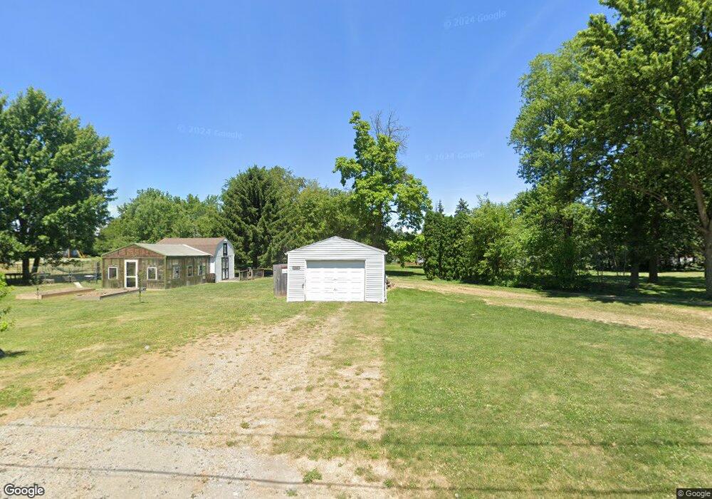
304 Cooper St McComb, OH 45858
McComb NeighborhoodEstimated Value: $112,000
2
Beds
1
Bath
1,094
Sq Ft
$102/Sq Ft
Est. Value
About This Home
This home is located at 304 Cooper St, McComb, OH 45858 and is currently estimated at $112,000, approximately $102 per square foot. 304 Cooper St is a home located in Hancock County with nearby schools including McComb Elementary School, McComb Middle School, and Mccomb Local High School.
Ownership History
Date
Name
Owned For
Owner Type
Purchase Details
Closed on
Apr 22, 2024
Sold by
Oren James R and Oren Kelly A
Bought by
Oren Family Revocable Living Trust and Oren
Current Estimated Value
Purchase Details
Closed on
May 14, 2012
Sold by
Graham John P
Bought by
Deutsche Bank National Trust Company
Purchase Details
Closed on
Mar 23, 1981
Bought by
Stoepfel Michael J and Stoepfel Karen
Create a Home Valuation Report for This Property
The Home Valuation Report is an in-depth analysis detailing your home's value as well as a comparison with similar homes in the area
Home Values in the Area
Average Home Value in this Area
Purchase History
| Date | Buyer | Sale Price | Title Company |
|---|---|---|---|
| Oren Family Revocable Living Trust | -- | None Listed On Document | |
| Deutsche Bank National Trust Company | $13,334 | Attorney | |
| Stoepfel Michael J | -- | -- |
Source: Public Records
Tax History
| Year | Tax Paid | Tax Assessment Tax Assessment Total Assessment is a certain percentage of the fair market value that is determined by local assessors to be the total taxable value of land and additions on the property. | Land | Improvement |
|---|---|---|---|---|
| 2024 | $91 | $2,610 | $2,610 | $0 |
| 2023 | $90 | $2,610 | $2,610 | $0 |
| 2022 | $111 | $2,610 | $2,610 | $0 |
| 2021 | $154 | $3,320 | $3,320 | $0 |
| 2020 | $132 | $3,320 | $3,320 | $0 |
| 2019 | $144 | $3,320 | $3,320 | $0 |
| 2018 | $120 | $2,890 | $2,890 | $0 |
| 2017 | $121 | $2,890 | $2,890 | $0 |
| 2016 | $114 | $2,890 | $2,890 | $0 |
| 2015 | $115 | $2,890 | $2,890 | $0 |
| 2014 | $126 | $2,890 | $2,890 | $0 |
| 2012 | $126 | $2,890 | $2,890 | $0 |
Source: Public Records
Map
Nearby Homes
- 223 Cherry St
- 257 S Main St
- 0 Joshua Rd Unit 6126475
- 4609 Township Road 235
- 4134 County Road 203
- 3111 Township Road 93
- 358 State Route 613
- 1280 Ohio 613
- 1128 County Road 139
- 7780 Township Road 89
- 0 Rock Candy Rd Unit Lot 159
- 0 Rock Candy Rd Unit Lot 170
- 0 Rock Candy Rd Unit Lot 172 206819
- 0 Rock Candy Rd Unit Lot 162
- 0 Rock Candy Rd Unit Lot 171
- 0 Rock Candy Rd Unit Lot 168
- 9894 Smokies Way
- 0 Rock Candy Rd Or Bushwillow Dr Unit Lot 173
- 0 Bearcat Way Or Rock Candy Rd Unit Lot 167
- 0 Bushwillow Dr Or Rock Candy Rd Unit Lot 157
- 304 W Cooper St
- 226 N Church St
- 216 W Cooper St
- 306 W Cooper St
- 216 Cooper St
- 306 Cooper St
- 224 N Church St
- 301 W Cooper St
- 223 N Church St
- 325 W Perrin
- 219 N Church St
- 219 Cherry St
- 215 Cherry St
- 204 Cooper St
- 227 N Walnut
- 204 W Cooper St
- 216 N Church St
- 203 W Cooper St
- 315 W Perrin Ave
- 215 N Church St
Your Personal Tour Guide
Ask me questions while you tour the home.