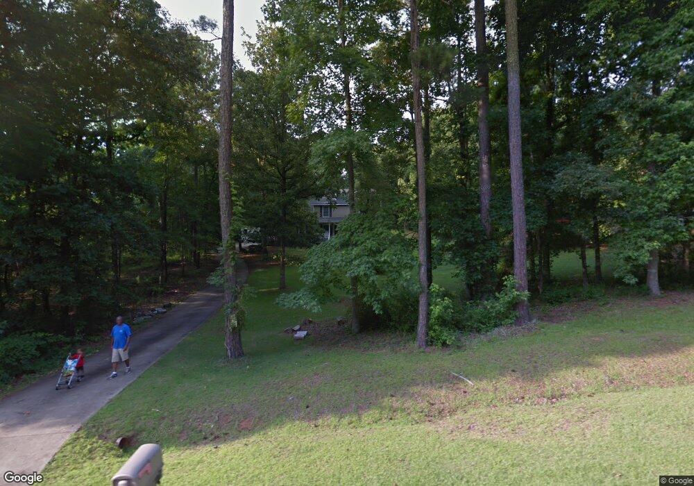
304 Cove Rd Lagrange, GA 30240
Estimated Value: $284,206 - $357,000
4
Beds
3
Baths
2,187
Sq Ft
$147/Sq Ft
Est. Value
About This Home
This home is located at 304 Cove Rd, Lagrange, GA 30240 and is currently estimated at $321,052, approximately $146 per square foot. 304 Cove Rd is a home located in Troup County with nearby schools including Ethel W. Kight Elementary School, Hollis Hand Elementary School, and Franklin Forest Elementary School.
Ownership History
Date
Name
Owned For
Owner Type
Purchase Details
Closed on
Mar 10, 1999
Sold by
Boyette Greg
Bought by
Burden Randall E and Burden Varice T
Current Estimated Value
Purchase Details
Closed on
Nov 11, 1991
Sold by
Carlisle Const Co Inc
Bought by
Boyette Greg
Purchase Details
Closed on
Oct 20, 1989
Sold by
Josef Pfeifer
Bought by
Carlisle Const Co Inc
Purchase Details
Closed on
Feb 1, 1989
Sold by
Carlisle Const Co Inc
Bought by
Josef Pfeifer
Purchase Details
Closed on
Apr 1, 1988
Sold by
Mary D Hales
Bought by
Carlisle Const Co Inc
Purchase Details
Closed on
Jan 1, 1987
Sold by
Larry Hales?
Bought by
Mary D Hales
Purchase Details
Closed on
Jan 1, 1966
Bought by
Larry Hales?
Create a Home Valuation Report for This Property
The Home Valuation Report is an in-depth analysis detailing your home's value as well as a comparison with similar homes in the area
Purchase History
| Date | Buyer | Sale Price | Title Company |
|---|---|---|---|
| Burden Randall E | $129,800 | -- | |
| Boyette Greg | $103,000 | -- | |
| Carlisle Const Co Inc | -- | -- | |
| Josef Pfeifer | -- | -- | |
| Carlisle Const Co Inc | $11,000 | -- | |
| Mary D Hales | -- | -- | |
| Larry Hales? | -- | -- |
Source: Public Records
Tax History
| Year | Tax Paid | Tax Assessment Tax Assessment Total Assessment is a certain percentage of the fair market value that is determined by local assessors to be the total taxable value of land and additions on the property. | Land | Improvement |
|---|---|---|---|---|
| 2025 | $2,790 | $108,320 | $18,000 | $90,320 |
| 2024 | $2,591 | $97,000 | $18,000 | $79,000 |
| 2023 | $2,613 | $97,800 | $14,000 | $83,800 |
| 2022 | $2,411 | $88,360 | $10,000 | $78,360 |
| 2021 | $1,750 | $60,000 | $10,000 | $50,000 |
| 2020 | $1,750 | $60,000 | $10,000 | $50,000 |
| 2019 | $1,723 | $59,120 | $10,000 | $49,120 |
| 2018 | $1,723 | $59,120 | $10,000 | $49,120 |
| 2017 | $1,651 | $56,720 | $5,600 | $51,120 |
| 2016 | $1,514 | $52,170 | $5,600 | $46,570 |
| 2015 | $1,516 | $52,170 | $5,600 | $46,570 |
| 2014 | $1,445 | $49,720 | $5,600 | $44,120 |
| 2013 | -- | $52,242 | $5,600 | $46,642 |
Source: Public Records
Map
Nearby Homes
- 104 Dogwood Point
- 110 Thomas Dr
- 213 Linda Ln
- 709 Vernon Ferry Rd
- 4004 White Oak Ln
- 129 Angela East Dr
- 4.5 ACRES Whatley Rd N
- 0 Deming St Unit 10550189
- 0 Salem Rd Tract 2 Unit 10675187
- 98 Hearn Rd
- 40 River Point Dr
- 16 River Point Dr
- 474 Newton Rd
- 112 Foxdale Dr
- 203 Shawnee Dr
- 113 Colonial Ct
- 101 Ivy Springs Dr
- 311 Cumberland Dr
- 104 Independence Ct
- 104 Spring Valley Dr
- 302 Cove Rd
- 105 Dogwood Point
- 306 Cove Rd
- 305 Cove Rd
- 109 Dogwood Point
- 101 Lakeshore Way
- 106 Dogwood Point
- 105 Lakeshore Way
- 401 Mckinley Cir
- 108 Dogwood Point
- 402 Mckinley Cir
- 100 Lakeshore Way
- 103 Dogwood Ct
- 100 Dogwood Ct
- 404 Mckinley Cir Unit Lot 36 Sec C
- 403 Mckinley Cir
- 210 Mckinley Cir
- 101 Dogwood Ct
- 205 Lakeshore Way
- 208 Mckinley Cir
Your Personal Tour Guide
Ask me questions while you tour the home.