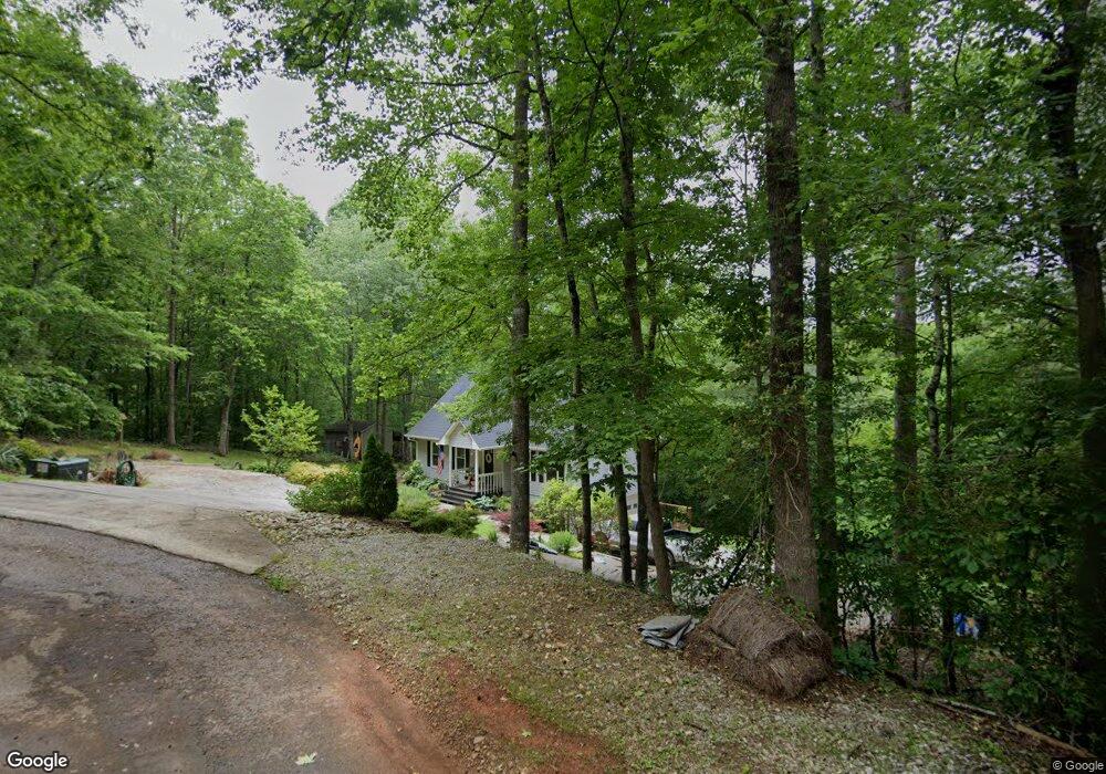
304 Creek Ct Unit PICNIC AREA AND BIG West Union, SC 29696
Estimated Value: $317,000 - $435,000
3
Beds
3
Baths
1,782
Sq Ft
$209/Sq Ft
Est. Value
About This Home
This home is located at 304 Creek Ct Unit PICNIC AREA AND BIG, West Union, SC 29696 and is currently estimated at $372,510, approximately $209 per square foot. 304 Creek Ct Unit PICNIC AREA AND BIG is a home located in Oconee County with nearby schools including Keowee Elementary School, Walhalla Middle School, and Walhalla High School.
Ownership History
Date
Name
Owned For
Owner Type
Purchase Details
Closed on
Jan 27, 2012
Sold by
Sullivan Larry Shawn and Sullivan Amy R
Bought by
Kreuzberger Vincent and Sharpe Mikayla
Current Estimated Value
Purchase Details
Closed on
Jun 12, 2007
Sold by
Henry Claud A and Henry Jackie C
Bought by
Sullivan Larry Shawn and Sullivan Amy R
Home Financials for this Owner
Home Financials are based on the most recent Mortgage that was taken out on this home.
Original Mortgage
$167,000
Interest Rate
7.01%
Mortgage Type
New Conventional
Create a Home Valuation Report for This Property
The Home Valuation Report is an in-depth analysis detailing your home's value as well as a comparison with similar homes in the area
Home Values in the Area
Average Home Value in this Area
Purchase History
| Date | Buyer | Sale Price | Title Company |
|---|---|---|---|
| Kreuzberger Vincent | $110,000 | -- | |
| Sullivan Larry Shawn | $167,000 | None Available |
Source: Public Records
Mortgage History
| Date | Status | Borrower | Loan Amount |
|---|---|---|---|
| Previous Owner | Sullivan Larry Shawn | $167,000 |
Source: Public Records
Tax History Compared to Growth
Tax History
| Year | Tax Paid | Tax Assessment Tax Assessment Total Assessment is a certain percentage of the fair market value that is determined by local assessors to be the total taxable value of land and additions on the property. | Land | Improvement |
|---|---|---|---|---|
| 2025 | $611 | $7,020 | $418 | $6,602 |
| 2024 | $611 | $7,020 | $418 | $6,602 |
| 2023 | $619 | $7,020 | $418 | $6,602 |
| 2022 | $619 | $7,020 | $418 | $6,602 |
| 2021 | $462 | $7,048 | $446 | $6,602 |
| 2020 | $563 | $5,060 | $320 | $4,740 |
| 2019 | $563 | $0 | $0 | $0 |
| 2018 | $1,123 | $0 | $0 | $0 |
| 2017 | $462 | $0 | $0 | $0 |
| 2016 | $462 | $0 | $0 | $0 |
| 2015 | -- | $0 | $0 | $0 |
| 2014 | -- | $4,400 | $241 | $4,160 |
| 2013 | -- | $0 | $0 | $0 |
Source: Public Records
Map
Nearby Homes
- Lot 44 Glassy Water Way
- 108 Cranes Crossing Dr
- 665 Brc Dr
- Lot 7 Winstead Rd
- 00 Wolf Stake Church Rd
- 000 Wolf Stake Church Rd
- 130 Quail Haven Dr
- 517 Fowler Rd
- 130 Raleighs Ln
- 621 Burns Mill Rd
- 507 Lariat Loop
- 625 Burns Mill Rd
- 00 Eleanore Dr
- 302 Meadowlark Ln
- 00 Fernwood Dr
- 2357 Pickens Hwy
- 299 Springbrook Rd
- 150 Cedar Hill Dr
- 106 Torrington Rd
- 215 Serenity Bay Dr
- 304 Creek Ct
- 305 Creek Ct
- 300 Creek Ct
- 303 Creek Ct
- 301 Creek Ct
- 117 Honeywood Dr
- 109 Honeywood Dr
- 150 Honeywood Dr
- 123 Honeywood Dr
- 135 Country Junction Rd
- 105 Honeywood Dr
- Lot #30 Honeywood Dr Unit SCATTERWOOD
- 000 Honeywood Dr
- 157 Honeywood Dr
- 152 Honeywood Dr
- 202 E Wildwood Ct
- 124 Honeywood Dr
- 124 Honeywood Dr Unit Scatterwood Subdivis
- 203 Wildwood Ct
- 103 Honeywood Dr