304 Dew Drop Dr Dahlonega, GA 30533
Estimated Value: $282,750 - $400,000
--
Bed
1
Bath
1,040
Sq Ft
$326/Sq Ft
Est. Value
About This Home
This home is located at 304 Dew Drop Dr, Dahlonega, GA 30533 and is currently estimated at $338,938, approximately $325 per square foot. 304 Dew Drop Dr is a home located in Lumpkin County with nearby schools including Clay County Middle School and Lumpkin County High School.
Ownership History
Date
Name
Owned For
Owner Type
Purchase Details
Closed on
Mar 18, 2015
Sold by
Smith Renee E
Bought by
Smith Renee E and Smith Ricky
Current Estimated Value
Purchase Details
Closed on
Mar 30, 2003
Sold by
Edge James
Bought by
Smith Renee E
Purchase Details
Closed on
Oct 19, 1998
Bought by
Smith Renee E
Purchase Details
Closed on
Sep 28, 1988
Sold by
Smith Renee E
Bought by
Edge James
Purchase Details
Closed on
Jan 1, 1979
Bought by
Edge James
Create a Home Valuation Report for This Property
The Home Valuation Report is an in-depth analysis detailing your home's value as well as a comparison with similar homes in the area
Home Values in the Area
Average Home Value in this Area
Purchase History
| Date | Buyer | Sale Price | Title Company |
|---|---|---|---|
| Smith Renee E | -- | -- | |
| Smith Renee E | -- | -- | |
| Smith Renee E | -- | -- | |
| Edge James | -- | -- | |
| Edge James | -- | -- |
Source: Public Records
Tax History Compared to Growth
Tax History
| Year | Tax Paid | Tax Assessment Tax Assessment Total Assessment is a certain percentage of the fair market value that is determined by local assessors to be the total taxable value of land and additions on the property. | Land | Improvement |
|---|---|---|---|---|
| 2024 | $657 | $101,186 | $59,064 | $42,122 |
| 2023 | $657 | $88,835 | $49,680 | $39,155 |
| 2022 | $976 | $75,433 | $41,400 | $34,033 |
| 2021 | $860 | $69,707 | $41,400 | $28,307 |
| 2020 | $858 | $67,153 | $39,672 | $27,481 |
| 2019 | $863 | $67,153 | $39,672 | $27,481 |
| 2018 | $825 | $63,869 | $39,672 | $24,197 |
| 2017 | $837 | $63,822 | $39,672 | $24,150 |
| 2016 | $767 | $60,619 | $39,672 | $20,947 |
| 2015 | $679 | $60,619 | $39,672 | $20,947 |
| 2014 | $679 | $60,890 | $39,672 | $21,218 |
| 2013 | -- | $61,160 | $39,672 | $21,488 |
Source: Public Records
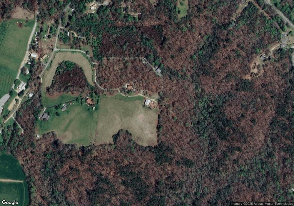
Map
Nearby Homes
- 16 Welch Cir
- 45 Chestatee River Ridge
- 0 Arborwood Dr Unit 10645890
- 83 Austin Ct
- 496 Beaver Dam Rd
- 202 Indian Trail
- 372 Porter Springs Rd
- 0 Porter Springs Rd Unit 7685063
- 0 Porter Springs Rd Unit 10648400
- 165 Porter Springs Rd
- 380 Copper Mill Rd
- 64 Highview Ln
- 1063 Grindle Bridge Rd
- 128 Young Deer Dr
- 87 Tolleffs Trail
- 1437 Porter Springs Rd
- 260 Fortner Dr
- 0 Horseshoe Bend Rd Unit 10571975
- 0 Horseshoe Bend Rd Unit 7620338
- 03 Kate Rd
- 198 Dew Drop Dr
- 180 Dew Drop Dr
- 154 Gate View Dr
- 94 McBrayer Rd
- 3832 Cavender Creek Rd
- 3830 Cavender Creek Rd
- 3836 Cavender Creek Rd
- 51 McBrayer Rd
- 34 McBrayer Rd
- 60 Flintrock Dr
- 4020 Cavender Creek Rd
- 306 Brady Edge Rd
- 66 Gate View Dr
- 930 Homer Edge Cir
- 149 Brady Edge Rd
- 5 acre Brady Edge Rd
- 2 Brady Edge Rd
- 671 Homer Edge Cir
- 0 Brady Edge Rd
- 3998 Cavender Creek Rd