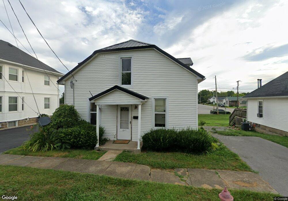
304 E North St West Union, OH 45693
Estimated Value: $95,191 - $151,000
3
Beds
1
Bath
1,164
Sq Ft
$99/Sq Ft
Est. Value
About This Home
This home is located at 304 E North St, West Union, OH 45693 and is currently estimated at $114,798, approximately $98 per square foot. 304 E North St is a home located in Adams County with nearby schools including West Union Elementary School, West Union High School, and Adams County Christian School.
Ownership History
Date
Name
Owned For
Owner Type
Purchase Details
Closed on
Oct 1, 2024
Sold by
Potts Matthew
Bought by
Tolle Kathy Jo and Kennedy Jill Potts
Current Estimated Value
Purchase Details
Closed on
Sep 23, 2002
Sold by
Potts Tom
Bought by
Potts Tom
Purchase Details
Closed on
Jul 16, 2001
Sold by
Madden Dixie
Bought by
Potts Tom
Purchase Details
Closed on
Aug 1, 1978
Bought by
Madden Dixie
Create a Home Valuation Report for This Property
The Home Valuation Report is an in-depth analysis detailing your home's value as well as a comparison with similar homes in the area
Home Values in the Area
Average Home Value in this Area
Purchase History
| Date | Buyer | Sale Price | Title Company |
|---|---|---|---|
| Tolle Kathy Jo | -- | None Listed On Document | |
| Potts Tom | -- | -- | |
| Potts Tom | $27,500 | -- | |
| Madden Dixie | $8,000 | -- |
Source: Public Records
Tax History
| Year | Tax Paid | Tax Assessment Tax Assessment Total Assessment is a certain percentage of the fair market value that is determined by local assessors to be the total taxable value of land and additions on the property. | Land | Improvement |
|---|---|---|---|---|
| 2025 | $467 | $12,460 | $3,360 | $9,100 |
| 2024 | $467 | $12,460 | $3,360 | $9,100 |
| 2023 | $470 | $12,460 | $3,360 | $9,100 |
| 2022 | $429 | $11,450 | $2,560 | $8,890 |
| 2021 | $427 | $11,450 | $2,560 | $8,890 |
| 2020 | $436 | $11,450 | $2,560 | $8,890 |
| 2019 | $436 | $11,450 | $2,560 | $8,890 |
| 2018 | $408 | $10,300 | $2,560 | $7,740 |
| 2017 | $402 | $10,300 | $2,560 | $7,740 |
| 2016 | $402 | $10,300 | $2,560 | $7,740 |
| 2015 | $408 | $10,790 | $2,560 | $8,230 |
| 2014 | $408 | $10,790 | $2,560 | $8,230 |
Source: Public Records
Map
Nearby Homes
- 315 E North St
- 70 Logans Ln
- 430 Poplar St
- 0.8ac State Route 41
- 12196 State Route 41
- 104 N Washington St
- 305 W Walnut St
- 408 W South St
- 286 & 290 S Market St
- 353 Chestnut Ridge Rd
- 9727 Ohio 125
- 917 Logans Ln
- 215 Chesley St
- 1478 Robinson Hollow Rd
- 4400 Chapparal Rd
- 80 Madonna Dr
- 247 Madonna Dr
- Lot 5 Mark Dr
- 175 Paula Dr
- 435 Rollingwoods Dr
- 308 E North St
- 300 E North St
- 322 N 2nd St
- 1 Logans Ln Unit Lt 1
- 31 Logans Ln
- 318 N 2nd St
- 212 E North St
- 323 N 2nd St
- 408 E North St
- 30 Logans Ln
- 409 E North St
- 410 E North St
- 50 Logans Ln
- 306 E Mulberry St
- 317 N 2nd St
- 416 N Pleasant St
- 318 N Pleasant St
- 316 N East St
- 324 N Pleasant St
- 314 N Pleasant St
Your Personal Tour Guide
Ask me questions while you tour the home.