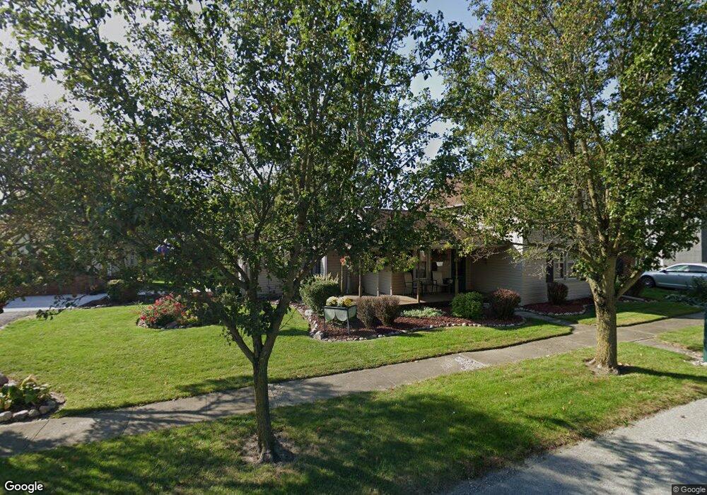
304 E Wapakoneta St Waynesfield, OH 45896
Estimated Value: $165,234 - $191,000
3
Beds
2
Baths
1,714
Sq Ft
$104/Sq Ft
Est. Value
About This Home
This home is located at 304 E Wapakoneta St, Waynesfield, OH 45896 and is currently estimated at $178,559, approximately $104 per square foot. 304 E Wapakoneta St is a home located in Auglaize County with nearby schools including Waynesfield-Goshen Local Elementary School and Waynesfield-Goshen Local High School.
Ownership History
Date
Name
Owned For
Owner Type
Purchase Details
Closed on
Jul 21, 2015
Sold by
Hawk Gregory A
Bought by
Hawk Teresa M
Current Estimated Value
Home Financials for this Owner
Home Financials are based on the most recent Mortgage that was taken out on this home.
Original Mortgage
$80,000
Outstanding Balance
$62,726
Interest Rate
4.02%
Mortgage Type
New Conventional
Estimated Equity
$115,833
Purchase Details
Closed on
Nov 30, 1994
Sold by
Eley Evelyn Faye
Bought by
Hawk Gregory A
Create a Home Valuation Report for This Property
The Home Valuation Report is an in-depth analysis detailing your home's value as well as a comparison with similar homes in the area
Home Values in the Area
Average Home Value in this Area
Purchase History
| Date | Buyer | Sale Price | Title Company |
|---|---|---|---|
| Hawk Teresa M | -- | Attorney | |
| Hawk Gregory A | $32,000 | -- |
Source: Public Records
Mortgage History
| Date | Status | Borrower | Loan Amount |
|---|---|---|---|
| Open | Hawk Teresa M | $80,000 |
Source: Public Records
Tax History Compared to Growth
Tax History
| Year | Tax Paid | Tax Assessment Tax Assessment Total Assessment is a certain percentage of the fair market value that is determined by local assessors to be the total taxable value of land and additions on the property. | Land | Improvement |
|---|---|---|---|---|
| 2024 | $2,235 | $34,540 | $3,970 | $30,570 |
| 2023 | $624 | $34,540 | $3,970 | $30,570 |
| 2022 | $1,342 | $30,950 | $3,690 | $27,260 |
| 2021 | $653 | $30,950 | $3,690 | $27,260 |
| 2020 | $663 | $30,947 | $3,689 | $27,258 |
| 2019 | $1,065 | $25,788 | $3,073 | $22,715 |
| 2018 | $1,038 | $25,788 | $3,073 | $22,715 |
| 2017 | $1,035 | $25,788 | $3,073 | $22,715 |
| 2016 | $956 | $24,550 | $2,930 | $21,620 |
| 2015 | $956 | $24,550 | $2,930 | $21,620 |
| 2014 | $716 | $17,637 | $2,930 | $14,707 |
| 2013 | $682 | $15,656 | $1,869 | $13,787 |
Source: Public Records
Map
Nearby Homes
- 25836 Ohio 67
- 202 W Mulberry St
- 105 Guthrie St
- 22275 Buckland Holden Rd
- 8150 Amherst Rd
- 5065 Amherst Rd
- 20630 State Route 67
- 17 E Walnut St
- 37 N Main St
- 0 Ohio 67
- 7165 Faulkner Rd
- 11352 N Township Road 88
- 6616 Bellefontaine Rd
- 6381 McPheron Rd
- 12102 Shannon Dr Unit 89
- 12015 Holly Dr
- 11773 Sunview Ave
- 11579 Cooper Ave
- 13793 Ohio 235 Unit 75
- 0 Ohio 235
- 304 E Wapakoneta St
- 302 E Wapakoneta St
- 300 E Wapakoneta St
- 308 E Wapakoneta St
- 103 S Pearl St
- N/A Wapakoneta St
- 0 Wapakoneta St
- 000 Wapakoneta St
- 20573 Wapakoneta St
- 305 E Wapakoneta St
- 307 E Wapakoneta St
- 303 E Wapakoneta St
- 214 E Wapakoneta St
- 324 E Wapakoneta St
- 310 E Wapakoneta St
- 301 E Wapakoneta St
- 301 E Wapakoneta St
- 102 S Pearl St
- 212 W Wapakoneta St
- 212 E Wapakoneta St