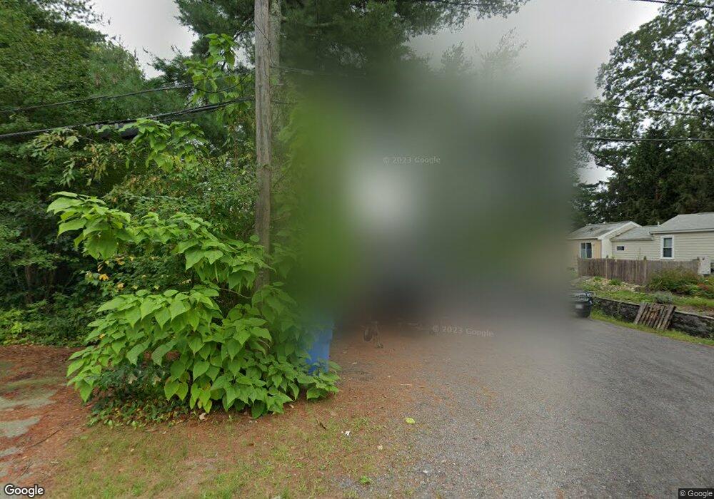
304 Forest Grove Ave Wrentham, MA 02093
Estimated Value: $381,000 - $537,989
3
Beds
1
Bath
1,218
Sq Ft
$388/Sq Ft
Est. Value
About This Home
This home is located at 304 Forest Grove Ave, Wrentham, MA 02093 and is currently estimated at $472,997, approximately $388 per square foot. 304 Forest Grove Ave is a home located in Norfolk County with nearby schools including Delaney Elementary School and Charles E Roderick.
Ownership History
Date
Name
Owned For
Owner Type
Purchase Details
Closed on
Oct 30, 2017
Sold by
Mattson John S and Mattson Cynthia J
Bought by
Mattson Ft and Mattson
Current Estimated Value
Purchase Details
Closed on
Apr 17, 1981
Bought by
Mattson John S and Mattson Cynthia J
Create a Home Valuation Report for This Property
The Home Valuation Report is an in-depth analysis detailing your home's value as well as a comparison with similar homes in the area
Home Values in the Area
Average Home Value in this Area
Purchase History
| Date | Buyer | Sale Price | Title Company |
|---|---|---|---|
| Mattson Ft | -- | -- | |
| Mattson John S | -- | -- |
Source: Public Records
Mortgage History
| Date | Status | Borrower | Loan Amount |
|---|---|---|---|
| Previous Owner | Mattson John S | $50,000 |
Source: Public Records
Tax History Compared to Growth
Tax History
| Year | Tax Paid | Tax Assessment Tax Assessment Total Assessment is a certain percentage of the fair market value that is determined by local assessors to be the total taxable value of land and additions on the property. | Land | Improvement |
|---|---|---|---|---|
| 2025 | $5,083 | $438,600 | $271,300 | $167,300 |
| 2024 | $4,306 | $358,800 | $282,200 | $76,600 |
| 2023 | $4,022 | $318,700 | $256,500 | $62,200 |
| 2022 | $3,869 | $283,000 | $233,300 | $49,700 |
| 2021 | $3,934 | $279,600 | $233,300 | $46,300 |
| 2020 | $3,848 | $270,000 | $191,800 | $78,200 |
| 2019 | $3,634 | $257,400 | $178,100 | $79,300 |
| 2018 | $4,110 | $288,600 | $178,800 | $109,800 |
| 2017 | $3,900 | $273,700 | $175,400 | $98,300 |
| 2016 | $3,826 | $267,900 | $170,300 | $97,600 |
| 2015 | $3,738 | $249,500 | $163,700 | $85,800 |
| 2014 | $4,051 | $264,600 | $181,700 | $82,900 |
Source: Public Records
Map
Nearby Homes
- 246 Forest Grove Ave
- 3 Oak Rd
- 0 W Birch Rd
- 45 King St
- 10 W Birch Rd
- 3 Sparrow Rd
- 45 Joshua Rd
- 38 Robin Rd
- 11 Quail Run Rd
- 3 Pheasanthill Rd
- 2 Diamond St
- 50 Reed Fulton Ave Unit Lot 61
- 14 Essex St
- 23 Fredrickson Rd
- 270 Dedham St
- 1 Lorraine Metcalf Dr
- 71 Pond St
- 570 Franklin St
- 6 Trailside Way
- 10 Nature View Dr
- 300 Forest Grove Ave Unit 300
- 308 Forest Grove Ave
- 294 Forest Grove Ave
- 290 Forest Grove Ave
- 307 Forest Grove Ave
- 324 Forest Grove Ave
- 288 Forest Grove Ave
- 260 Forest Grove Ave
- 260 Forest_grove Ave
- 285 Forest Grove Ave
- 340 Forest Grove Ave
- 344 Forest Grove Ave
- 344 Forest Grove Ave Unit B
- 3 Ivy Ct
- 341 Forest Grove Ave
- 346 Forest Grove Ave
- 256 Forest Grove Ave
- 259 Forest Grove Ave
- 347 Forest Grove Ave
- 257 Forest Grove Ave