304 Gale Rd Danville, IN 46122
Estimated Value: $318,000 - $379,000
3
Beds
2
Baths
1,650
Sq Ft
$207/Sq Ft
Est. Value
About This Home
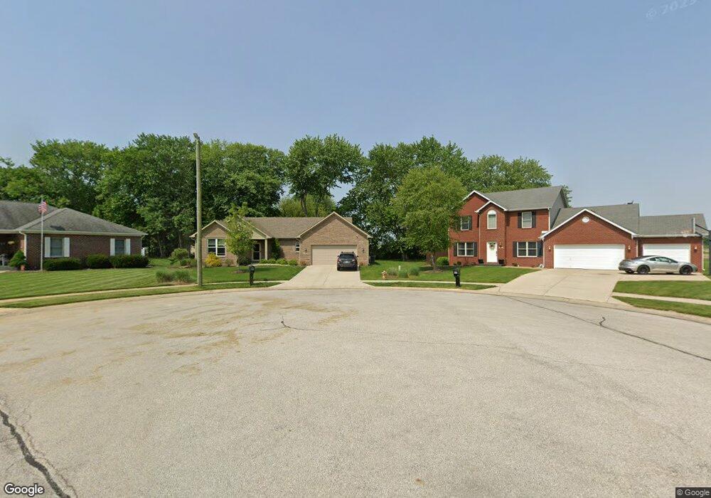
This home is located at 304 Gale Rd, Danville, IN 46122 and is currently estimated at $340,730, approximately $206 per square foot. 304 Gale Rd is a home located in Hendricks County with nearby schools including North Elementary School, South Elementary School, and Danville Middle School.
Ownership History
Date
Name
Owned For
Owner Type
Purchase Details
Closed on
Jun 13, 2025
Sold by
Franklin Donley R
Bought by
Donley R Franklin Revocable Living Trust and Franklin
Current Estimated Value
Purchase Details
Closed on
Oct 31, 2019
Sold by
Stone Gray Llc
Bought by
Franklin Donley R and Franklin Kelley R
Home Financials for this Owner
Home Financials are based on the most recent Mortgage that was taken out on this home.
Original Mortgage
$186,320
Interest Rate
3.6%
Mortgage Type
New Conventional
Purchase Details
Closed on
Dec 31, 2018
Sold by
Lane Duane R and Lane Patricia J
Bought by
Stone Gray Llc
Purchase Details
Closed on
Sep 1, 2017
Sold by
Efs Enterprises Llc
Bought by
Lane J
Purchase Details
Closed on
Aug 5, 2016
Sold by
Speckman Jason and Speckman Rachel
Bought by
Efs Enterprises Llc
Create a Home Valuation Report for This Property
The Home Valuation Report is an in-depth analysis detailing your home's value as well as a comparison with similar homes in the area
Home Values in the Area
Average Home Value in this Area
Purchase History
| Date | Buyer | Sale Price | Title Company |
|---|---|---|---|
| Donley R Franklin Revocable Living Trust | -- | None Listed On Document | |
| Franklin Donley R | -- | None Available | |
| Stone Gray Llc | -- | None Available | |
| Lane J | $28,200 | -- | |
| Lane Duane R | $28,150 | A & T | |
| Efs Enterprises Llc | -- | -- |
Source: Public Records
Mortgage History
| Date | Status | Borrower | Loan Amount |
|---|---|---|---|
| Previous Owner | Franklin Donley R | $186,320 |
Source: Public Records
Tax History Compared to Growth
Tax History
| Year | Tax Paid | Tax Assessment Tax Assessment Total Assessment is a certain percentage of the fair market value that is determined by local assessors to be the total taxable value of land and additions on the property. | Land | Improvement |
|---|---|---|---|---|
| 2024 | $2,830 | $283,000 | $33,200 | $249,800 |
| 2023 | $2,551 | $255,200 | $32,700 | $222,500 |
| 2022 | $2,459 | $245,900 | $31,200 | $214,700 |
| 2021 | $2,190 | $219,000 | $31,200 | $187,800 |
| 2020 | $1,127 | $127,200 | $31,200 | $96,000 |
| 2019 | $10 | $400 | $400 | $0 |
| 2018 | $10 | $400 | $400 | $0 |
| 2017 | $11 | $400 | $400 | $0 |
| 2016 | $10 | $400 | $400 | $0 |
| 2014 | $11 | $400 | $400 | $0 |
Source: Public Records
Map
Nearby Homes
- 3068 E Thorpe St
- 3219 E Maygrove Dr
- 936 Shadow Dr
- Kingston Plan at Penrose - Venture
- Broadmoor Plan at Penrose - Venture
- Alan Plan at Penrose - Venture
- Valencia Plan at Penrose - Venture
- Ironwood Plan at Penrose - Venture
- 3422 Wetherby Place
- 2257 Aviary Ln
- 2249 Aviary Ln
- 2183 Warbler St
- 2175 Warbler St
- 2201 Aviary Ln
- 420 Dovetree Dr
- 2169 Aviary Ln
- 3407 Merton St
- 3397 Merton St
- 4032 Basswood Dr
- 4032 Cairo Way