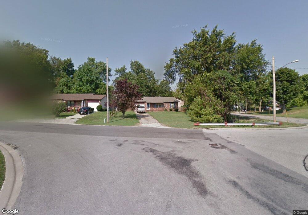
304 Harding St Collinsville, IL 62234
Estimated Value: $120,000 - $199,000
4
Beds
2
Baths
1,024
Sq Ft
$148/Sq Ft
Est. Value
About This Home
This home is located at 304 Harding St, Collinsville, IL 62234 and is currently estimated at $151,332, approximately $147 per square foot. 304 Harding St is a home located in Madison County with nearby schools including John A Renfro Elementary School, Dorris Intermediate School, and Collinsville Middle School.
Ownership History
Date
Name
Owned For
Owner Type
Purchase Details
Closed on
Aug 28, 2025
Sold by
Felker Roy D
Bought by
Sova Marcia L
Current Estimated Value
Purchase Details
Closed on
Aug 18, 2016
Sold by
Eck Jeremy Lee and Eck Margie L
Bought by
Sova Marcia L and Felker Roy D
Home Financials for this Owner
Home Financials are based on the most recent Mortgage that was taken out on this home.
Original Mortgage
$57,500
Interest Rate
3.45%
Mortgage Type
Seller Take Back
Create a Home Valuation Report for This Property
The Home Valuation Report is an in-depth analysis detailing your home's value as well as a comparison with similar homes in the area
Home Values in the Area
Average Home Value in this Area
Purchase History
| Date | Buyer | Sale Price | Title Company |
|---|---|---|---|
| Sova Marcia L | -- | None Available | |
| Sova Marcia L | $72,500 | Pontoon Title Company |
Source: Public Records
Mortgage History
| Date | Status | Borrower | Loan Amount |
|---|---|---|---|
| Previous Owner | Sova Marcia L | $57,500 |
Source: Public Records
Tax History Compared to Growth
Tax History
| Year | Tax Paid | Tax Assessment Tax Assessment Total Assessment is a certain percentage of the fair market value that is determined by local assessors to be the total taxable value of land and additions on the property. | Land | Improvement |
|---|---|---|---|---|
| 2024 | $2,346 | $36,700 | $8,620 | $28,080 |
| 2023 | $2,346 | $33,970 | $7,980 | $25,990 |
| 2022 | $2,236 | $30,570 | $7,140 | $23,430 |
| 2021 | $1,984 | $28,720 | $6,710 | $22,010 |
| 2020 | $1,913 | $27,400 | $6,400 | $21,000 |
| 2019 | $1,862 | $26,460 | $6,180 | $20,280 |
| 2018 | $1,973 | $27,180 | $5,850 | $21,330 |
| 2017 | $1,977 | $26,640 | $5,730 | $20,910 |
| 2016 | $1,613 | $26,640 | $5,730 | $20,910 |
| 2015 | $1,493 | $25,950 | $5,580 | $20,370 |
| 2014 | $1,493 | $25,950 | $5,580 | $20,370 |
| 2013 | $1,493 | $25,950 | $5,580 | $20,370 |
Source: Public Records
Map
Nearby Homes
- 1120 Williams St
- 1210 Constance St
- 308 Brown Ave
- 1224 Cedar Ridge Ct
- 203 Greenfield Dr
- 501 Spring
- 0 N Keebler Ave
- 617 N Morrison Ave
- 706 Illinois Ave
- 1227 Ridge Ave
- 123 W Wickliffe Ave
- 414 Bunker Hill Dr
- 919 Vine St
- 22 Brookwood Dr
- 0 Strong Ave
- 921 Prospect St
- 5 Brookwood Dr
- 123 Elliot St
- 892 Lester Ave
- 102 Toni Ct
- 416 Wilson Ave
- 302 Harding St
- 414 Wilson Ave
- 1154 Williams St
- 500 Wilson Ave
- 300 Harding St
- 1101 Roosevelt St
- 410 Wilson Ave
- 514 Larue St
- 301 Harding St
- 1150 Williams St
- 1150 Williams St
- 413 Wilson Ave
- 1104 Roosevelt St
- 500 High School Ave
- 299 Harding St
- 516 Larue St
- 1146 Williams St Unit 1148
- 1157 Williams St
- 1155 Williams St