Estimated Value: $207,000 - $249,000
4
Beds
3
Baths
1,778
Sq Ft
$129/Sq Ft
Est. Value
About This Home
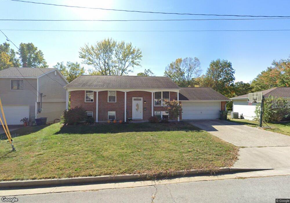
This home is located at 304 Hutchinson Dr, Rolla, MO 65401 and is currently estimated at $228,979, approximately $128 per square foot. 304 Hutchinson Dr is a home located in Phelps County with nearby schools including Rolla Junior High School, Rolla Senior High School, and Rolla Seventh-Day Adventist School.
Ownership History
Date
Name
Owned For
Owner Type
Purchase Details
Closed on
Jun 13, 2014
Current Estimated Value
Purchase Details
Closed on
Jun 1, 2007
Purchase Details
Closed on
Oct 7, 1976
Purchase Details
Closed on
Mar 22, 1971
Purchase Details
Closed on
Aug 16, 1968
Purchase Details
Closed on
Sep 7, 1965
Purchase Details
Closed on
Jul 23, 1964
Create a Home Valuation Report for This Property
The Home Valuation Report is an in-depth analysis detailing your home's value as well as a comparison with similar homes in the area
Home Values in the Area
Average Home Value in this Area
Purchase History
| Date | Buyer | Sale Price | Title Company |
|---|---|---|---|
| -- | $130,000 | -- | |
| -- | -- | -- | |
| -- | -- | -- | |
| -- | -- | -- | |
| -- | -- | -- | |
| -- | -- | -- | |
| -- | -- | -- |
Source: Public Records
Tax History
| Year | Tax Paid | Tax Assessment Tax Assessment Total Assessment is a certain percentage of the fair market value that is determined by local assessors to be the total taxable value of land and additions on the property. | Land | Improvement |
|---|---|---|---|---|
| 2025 | $1,331 | $25,510 | $3,330 | $22,180 |
| 2024 | $1,248 | $23,210 | $3,040 | $20,170 |
| 2023 | $1,256 | $23,210 | $3,040 | $20,170 |
| 2022 | $1,066 | $23,210 | $3,040 | $20,170 |
| 2021 | $1,074 | $23,210 | $3,040 | $20,170 |
| 2020 | $976 | $20,580 | $3,040 | $17,540 |
| 2019 | $970 | $20,370 | $3,040 | $17,330 |
| 2018 | $952 | $20,370 | $3,040 | $17,330 |
| 2017 | $950 | $20,370 | $3,040 | $17,330 |
| 2016 | $919 | $20,370 | $3,040 | $17,330 |
| 2015 | -- | $20,370 | $3,040 | $17,330 |
| 2014 | -- | $20,370 | $3,040 | $17,330 |
| 2013 | -- | $20,370 | $0 | $0 |
Source: Public Records
Map
Nearby Homes
- 403 Hutchinson Dr
- 708 E State Route 72
- 814 Oxford Dr
- 654 Holmes Ln
- 63 Rose Ct
- 687 Salem Ave
- 35 Green Acres Dr
- 56 Rolla Gardens Dr
- 5 Rolla Gardens Dr
- 821 Cambridge Dr
- 100 N Walnut St
- 816 Laurel Dr
- 213 Sunny Dr
- 600 S Rolla St
- 60 Richard Dr
- 807 Lariat Ln
- 38 Johnson Dr
- 104 E 3rd St
- 233 Sunny Dr
- Lot 74 B Cedar Hill Ct
- 306 Hutchinson Dr
- 302 Hutchinson Dr
- 308 Hutchinson Dr
- 305 Hutchinson Dr
- 307 Hutchinson Dr
- 405 Pete St
- 312 Hutchinson Dr
- 309 Hutchinson Dr
- 402 Hutchinson Dr
- 403 Pete St
- 401 Hutchinson Dr
- 404 Hutchinson Dr
- 0 55 Acre Lot Southview Dr
- 906 E State Route 72
- 406 Hutchinson Dr
- 906 Missouri 72
- 1 Frost Dr
- 17 Frost Dr
- 17 Elmwood Dr
- 404 Summit Ave
Your Personal Tour Guide
Ask me questions while you tour the home.